2000s (21st Century) Maps of Barrio Pueblo, Loíza
Explore 6 historic maps of Barrio Pueblo from the 2000s (21st Century). These maps offer a rare glimpse into what life looked like during the 2000s — showing old roads, neighborhoods, homes, and landmarks that have changed or disappeared over time.
Whether you're researching your family's past, planning a metal detecting trip, or studying how Barrio Pueblo's landscape evolved across the 2000s, these high-resolution maps are a powerful tool for exploring the history of this region.
- Focus on a specific era: All maps on this page are from the 2000s, giving you a focused view of this time period.
- See what’s changed: Compare century-old streets, trails, and buildings to today's modern landscape using overlays and satellite layers.
- Research with precision: Use these maps for genealogy, historical research, land use analysis, or educational projects.
- View, download, or print: Maps are fully viewable online in high resolution, and can be downloaded or printed for your own records.
Start exploring Barrio Pueblo's history through authentic maps from the 2000s. This is your window into the past.
Barrio Pueblo, Loíza maps
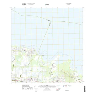
(6)- 2013 Map of Rio Grande, 2013 Print
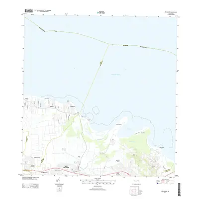 2013 Rio Grande2013 Print · USGSCovers Barrio Pueblo, including Río Grande, Lindo Mar, and other nearby areas
 - 2013 Map of Carolina, 2013 Print
 2013 Carolina2013 Print · USGSCovers Barrio Pueblo, including Carolina, Canóvanas, and other nearby areas
 - 2018 Map of Rio Grande, 2018 Print
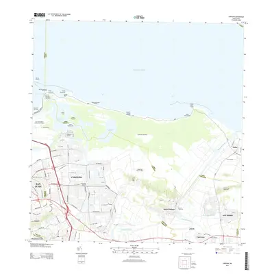
 2018 Rio Grande2018 Print · USGSCovers Barrio Pueblo, including Río Grande, Lindo Mar, and other nearby areas
 - 2018 Map of Carolina, 2018 Print
 2018 Carolina2018 Print · USGSCovers Barrio Pueblo, including Carolina, Canóvanas, and other nearby areas
 - 2024 Map of Rio Grande, 2024 Print
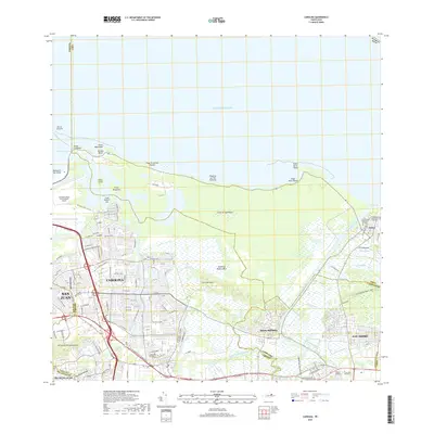
 2024 Rio Grande2024 Print · USGSCoastal Puerto Rico comes alive in this contemporary survey of the area between the Atlantic and the northern foothills. Trace the development of Río Grande and its outlying barrios, from the riverside community of Blasina to the heights of Cerro El Faro.
 - 2024 Map of Carolina, 2024 Print
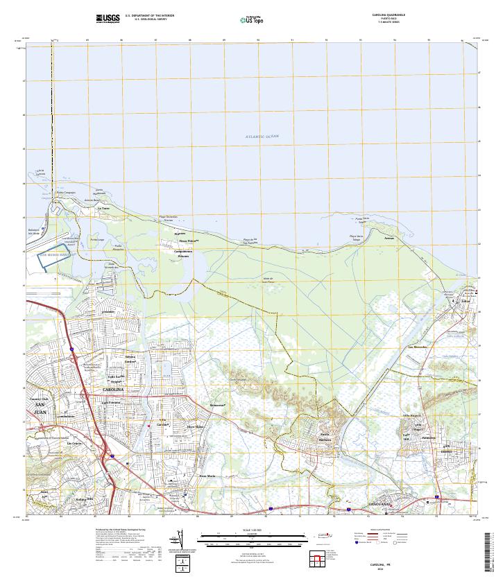 2024 Carolina2024 Print · USGSModern Carolina and Loíza are captured here as they balance urban expansion with fragile coastal ecosystems. Trace the development of Villa Carolina and Vistamar alongside landmarks like Hippodromo El Comandante.
End of results
Showing maps 1-6 of 6
Frequently asked questions
- What are the different types of historical maps available for Barrio Pueblo?
- What is the oldest map of Barrio Pueblo?
- Where can I purchase historical maps of Barrio Pueblo for my home or office?
- Where can I download high-res historical maps of Barrio Pueblo?
- Are there historical topographic maps available for Barrio Pueblo?
- Is there historical aerial imagery available for Barrio Pueblo?
- Where are historical maps of Barrio Pueblo sourced from?