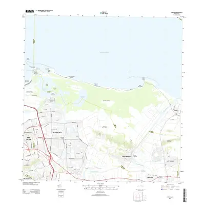
2013 Map of Carolina
USGS Topo · Published 2013About this map
Luis Munoz Marin International Airport anchors the western edge of this coastal landscape where the urban sprawl of Carolina meets the Atlantic shoreline. The region is defined by its complex hydrology, featuring the expansive Laguna de Piñones and Laguna La Torrecilla, which are separated from the ocean by narrow sandy stretches like Playa de las Tres Palmitas. Inland, the winding course of the Rio Grande De Loíza cuts through the terrain, passing near the industrial legacy of Central Canóvanas. This 2013 survey illustrates the dense residential networks of San Isidro and Santa Bárbara alongside significant maritime landmarks such as the Boca de Cangrejos Yacht Club and Vistamar Marina, reflecting a coastal economy shaped by both international transit and local geography.
Find a feature on this map
65 named features on this map. Tap any name to fly to it.
Don’t see what you’re looking for? This feature index may not catch every label — zoom into the map to look around manually.
Map Details
Editions of this 2013 Carolina Map
This is the sole edition of this map. No revisions or reprints were ever made.
Other maps of this area

1940 · Carolina
USGS Topo · 1:30,000

1941 · San Juan
USGS Topo · 1:30,000

1941 · Rio Grande
USGS Topo · 1:30,000

1941 · Carolina
USGS Topo · 1:30,000

1945 · El Yunque
USGS Topo · 1:30,000

1946 · El Yunque
USGS Topo · 1:30,000

1946 · Aguas Buenas
USGS Topo · 1:30,000

1946 · Gurabo
USGS Topo · 1:30,000

1947 · Carolina
USGS Topo · 1:30,000

1947 · Gurabo NE
USGS Topo · 1:10,000