Old Maps of Ensanche, Morovis for Metal Detecting
Plan your next treasure hunt with 7 historic maps of Ensanche. Find old homesites, ghost towns, trails, and gathering spots that may be lost to time — perfect for identifying promising metal detecting locations.
- Locate forgotten sites: Uncover places like long-lost settlements, abandoned rail lines, or gathering spots.
- Plan better hunts: Use map overlays combined with LiDAR or satellite views to narrow in on historically rich areas.
- Made for detectorists: Thousands of hobbyists use these maps to discover relics, coins, and hidden history.
Use these historic maps to boost your research and find new opportunities beneath the surface of Ensanche.
Ensanche, Morovis maps
(7)- 1946 Map of Ciales
 1946 Ciales1946 Print · USGSThe mountainous terrain of central Puerto Rico comes alive in this post-war survey of the river valleys and peaks. Genealogists can trace family connections to rural barrios and landmarks like Hacienda Maria, Iglesia San Antonio, or the Escuela Segunda Unidad de Pesas.
 - 1947 Map of Ciales NE
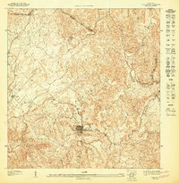 1947 Ciales NE1947 Print · USGSMorovis and its surrounding valleys are captured here in detail during the late 1940s. Genealogists and researchers can trace the roads connecting the town center to Torrecillas, locating landmarks like the Iglesia del Niño Jesus and the banks of the Rio Indio.
 - 1953 Map of Ciales
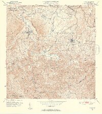 1953 Ciales1953 Print · USGSThe northern foothills of central Puerto Rico are captured here in the mid-fifties, showing the developed town centers of Ciales and Morovis. Genealogists can trace local landmarks like Hacienda Maria, the Iglesia del Nino Jesus, and the Escuela Segunda Unidad de Pesas.
 - 1957 Map of Ciales, 1959 Print
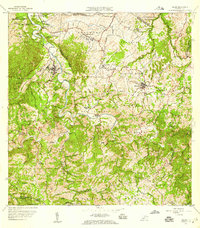 1957 Ciales1959 Print · USGSIn the late fifties, the central highlands of Puerto Rico maintained a landscape of steep coffee-country peaks and river-bound barrios. Researchers can trace local genealogy through rural schools like Escuela Barahona and parish sites such as Iglesia San Antonio.5 unique versions available
 - 2013 Map of Ciales, 2013 Print
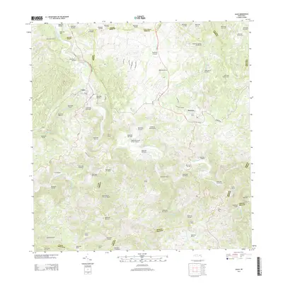 2013 Ciales2013 Print · USGSThe interior highlands of central Puerto Rico are shown here in the early twenty-first century, centered on the bustling municipalities of Ciales and Morovis. Researchers can trace local landmarks like La Chorrera and the numerous peaks including Cerro Purrón and Cerro Avispa.
 - 2018 Map of Ciales, 2018 Print
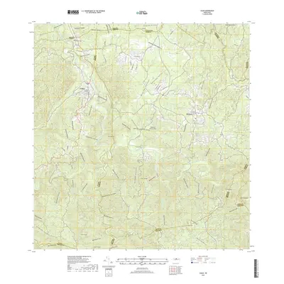 2018 Ciales2018 Print · USGSThe highland municipalities of Ciales and Morovis are shown in detail as they appeared in 2018. Researchers can trace the winding course of the Río Grande de Manatí and locate local landmarks like the Cementerio de Ciales and Cerro de la Bandera.
 - 2024 Map of Ciales, 2024 Print
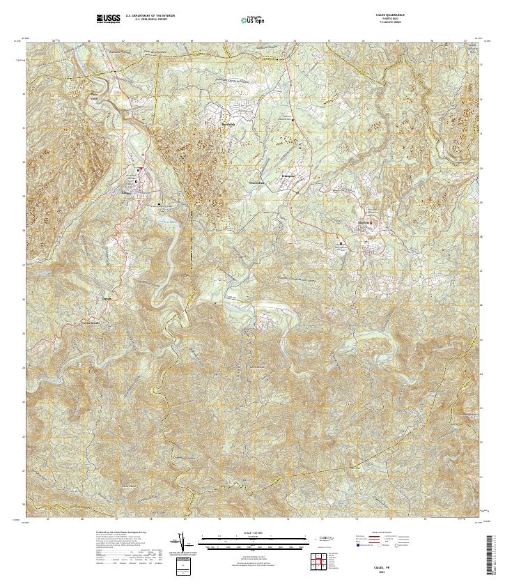 2024 Ciales2024 Print · USGSCiales and Morovis are documented in this contemporary survey of the Puerto Rican interior. Researchers can locate civic landmarks and burial grounds such as the Tribunal de Ciales, Morovis National Cem, and the Cementerio Municipal de Morovis.
End of results
Showing maps 1-7 of 7
Frequently asked questions
- What are the different types of historical maps available for Ensanche?
- What is the oldest map of Ensanche?
- Where can I purchase historical maps of Ensanche for my home or office?
- Where can I download high-res historical maps of Ensanche?
- Are there historical topographic maps available for Ensanche?
- Is there historical aerial imagery available for Ensanche?
- Where are historical maps of Ensanche sourced from?