Old Maps of Cacao Bajo, Patillas for Academic Research
Study the evolution of Cacao Bajo with 16 high-resolution historic maps. Whether you're teaching, researching, or modeling changes in land use, these maps provide essential visual documentation of urban, environmental, and geographic change.
- Analyze long-term change: Track patterns in development, transportation, and natural features.
- Ideal for environmental or urban studies: Support academic projects with primary historical map data.
- Use in the classroom or lab: Educators and researchers rely on these maps to bring historical context to life.
These maps are a powerful tool for teaching, research, and visualizing how Cacao Bajo has changed over the decades.
Cacao Bajo, Patillas maps
(16)- 1946 Map of Patillas
 1946 Patillas1946 Print · USGSPatillas and the surrounding mountain ridges come into focus in the mid-1940s as hydroelectric power and agriculture shaped the region. Genealogists and researchers can trace the vicinity of Hacienda Felicita and local schools like Escuela Segunda Unidad de Guamani.2 unique versions available
 - 1946 Map of Guayama
 1946 Guayama1946 Print · USGSThe southern coast of Puerto Rico appears in the mid-1940s as a bustling center of sugar production and rail transport. Genealogists and historians can trace the estates of the day, from Central Machete to numerous family-named colonias like Hacienda Felicia.4 unique versions available
 - 1947 Map of Guayama NE
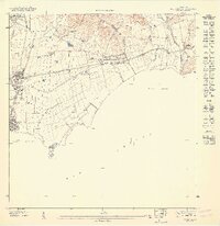 1947 Guayama NE1947 Print · USGSCoastal Puerto Rico in the late forties is defined here by the sugar industry and the vital waterways of the southeast shore. Genealogists and historians can trace the rail lines connecting Central Lafayette to rural outposts like Colonia Concordia and Cuatro Calles.
 - 1947 Map of Patillas SE
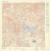 1947 Patillas SE1947 Print · USGSThe southeast coast of Puerto Rico in the 1940s centers on the sprawling Lago Patillas and its network of mountain-fed rivers. Local historians can trace the early layout of Patillas, the grounds of Hacienda Felicita, and the rural Escuela Segunda Unidad de Yaurel.
 - 1952 Map of Guayama, 1953 Print
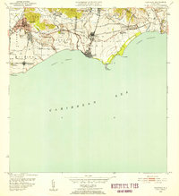 1952 Guayama1953 Print · USGSCoastal Puerto Rico in the early fifties reveals a landscape shaped by sugar production and maritime trade. Local researchers can find named estates and industrial sites like Central Lafayette, Colonia Algarrobo, and the Faro Pta Figuras lighthouse.2 unique versions available
 - 1952 Map of Patillas, 1953 Print
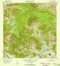 1952 Patillas1953 Print · USGSSoutheastern Puerto Rico is depicted here during the mid-twentieth century, showcasing the vital water and power systems of the Sierra de Cayey. Researchers can locate agricultural landmarks like Hacienda Felicita and public works including the Carite No. 1 hydroelectric plant.2 unique versions available
 - 1960 Map of Patillas, 1962 Print
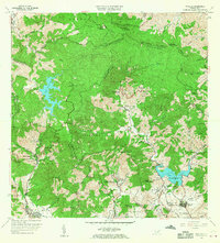 1960 Patillas1962 Print · USGSSoutheast Puerto Rico's mountain interior and the municipality of Patillas are captured here in the early sixties. Researchers can trace the layout of rural mountain life through landmarks like Campamento Guavate and Campamento Real.2 unique versions available
 - 1960 Map of Guayama, 1962 Print
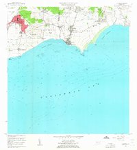 1960 Guayama1962 Print · USGSThe south coast of Puerto Rico in the 1960s reveals a region defined by its sugar industry and maritime trade. Researchers can trace family ties to landmarks like Central Lafayette, Hacienda Felicia, and the coastal lighthouse at Punta Figuras.2 unique versions available
 - 1970 Map of Guayama, 1972 Print
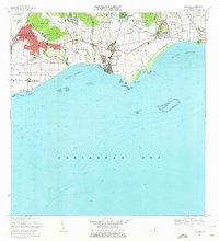 1970 Guayama1972 Print · USGSThe southern coast of Puerto Rico thrived as a sugar and maritime hub in the early seventies. Genealogists and historians can trace the irrigation canals and residential expansion of Guayama or locate old industrial sites like Central Machete and Central Lafayette.4 unique versions available
 - 1972 Map of Patillas, 1974 Print
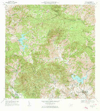 1972 Patillas1974 Print · USGSSoutheast Puerto Rico in the early seventies shows a landscape defined by the Sierra de Cayey and its vital reservoirs. Genealogists and local historians can trace family locations through rural barrios like Yaurel, identify local schools such as Escuela Leonor Ramos, and locate landmarks like Lago Patillas.4 unique versions available
 - 2013 Map of Patillas, 2013 Print
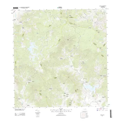 2013 Patillas2013 Print · USGSThe southern Puerto Rican highlands around Patillas are shown in high detail during the early twenty-first century. Genealogists and local historians can trace family roots through settlements like Yaurel or locate rural landmarks such as Campito Los Santos and Lago Patillas.
 - 2013 Map of Guayama, 2013 Print
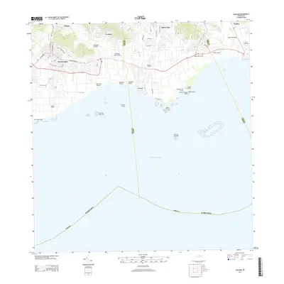 2013 Guayama2013 Print · USGSThe southern coast of Puerto Rico is captured here in the early twenty-first century, showcasing the vital industrial and maritime hubs between the mountains and the sea. Researchers can trace the layout of historic sugar centers like Central Lafayette and Central Machete alongside newer developments like Patillas Airport.
 - 2018 Map of Guayama, 2018 Print
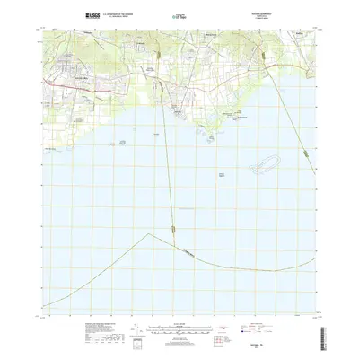 2018 Guayama2018 Print · USGSCoastal Puerto Rico at the edge of the Caribbean Sea is shown here in its modern development. You can trace civic landmarks like the Cementerio Municipal Viejo de Guayama or follow the waters of the Canal de Guamaní Este and Río Grande de Patillas.
 - 2018 Map of Patillas, 2018 Print
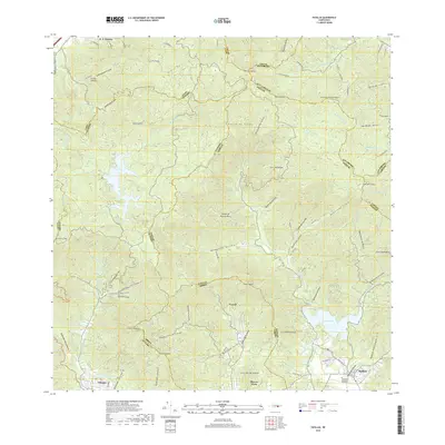 2018 Patillas2018 Print · USGSSoutheast Puerto Rico in the late 2010s is shown here, dominated by the peaks of the Sierra de Cayey and the critical waters of Lago Patillas. Researchers can trace local neighborhoods and landmarks like the Cementerio Municipal de Patillas, Yaurel, and Olimpo.
 - 2024 Map of Guayama, 2024 Print
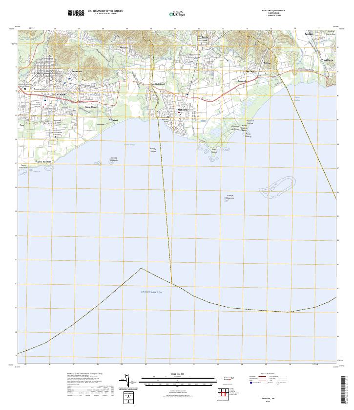 2024 Guayama2024 Print · USGSThe south-central coast of Puerto Rico is revealed in the mid-2020s, showing the urban development of Guayama and Arroyo. Trace the coastal geography through Punta Figuras, local landmarks like Balneario de Arroyo, and the historic Canal de Patillas.
 - 2024 Map of Patillas, 2024 Print
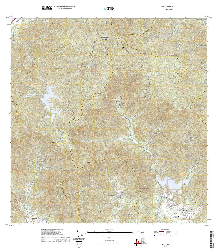 2024 Patillas2024 Print · USGSSoutheastern Puerto Rico is mapped here in the modern day, showing the coastal municipality of Patillas nestled beneath the high Sierra de Cayey. Researchers can trace the local civic layout at the Cementerio Municipal de Patillas or locate rural outposts like Campamento Guavate and Yaurel.
End of results
Showing maps 1-16 of 16
Frequently asked questions
- What are the different types of historical maps available for Cacao Bajo?
- What is the oldest map of Cacao Bajo?
- Where can I purchase historical maps of Cacao Bajo for my home or office?
- Where can I download high-res historical maps of Cacao Bajo?
- Are there historical topographic maps available for Cacao Bajo?
- Is there historical aerial imagery available for Cacao Bajo?
- Where are historical maps of Cacao Bajo sourced from?