2000s (21st Century) Maps of Ponce
Explore 18 historic maps of Ponce from the 2000s (21st Century). These maps offer a rare glimpse into what life looked like during the 2000s — showing old roads, neighborhoods, homes, and landmarks that have changed or disappeared over time.
Whether you're researching your family's past, planning a metal detecting trip, or studying how Ponce's landscape evolved across the 2000s, these high-resolution maps are a powerful tool for exploring the history of this region.
- Focus on a specific era: All maps on this page are from the 2000s, giving you a focused view of this time period.
- See what’s changed: Compare century-old streets, trails, and buildings to today's modern landscape using overlays and satellite layers.
- Research with precision: Use these maps for genealogy, historical research, land use analysis, or educational projects.
- View, download, or print: Maps are fully viewable online in high resolution, and can be downloaded or printed for your own records.
Start exploring Ponce's history through authentic maps from the 2000s. This is your window into the past.
Ponce maps
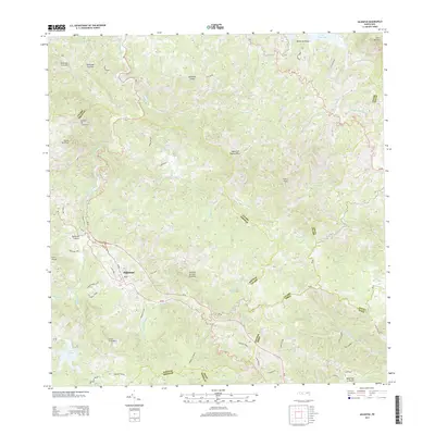
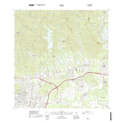
(18)- 2013 Map of Ponce, 2013 Print
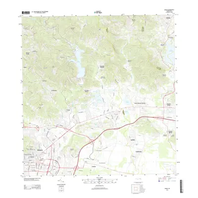 2013 Ponce2013 Print · USGSCovers Ponce, including Juana Díaz, Sector Piedras Blancas, and other nearby areas
 - 2013 Map of Jayuya, 2013 Print
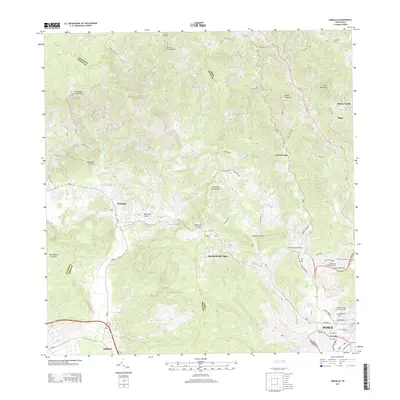
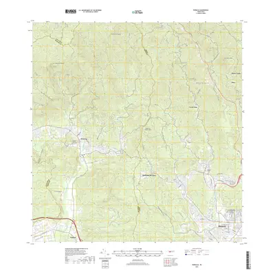
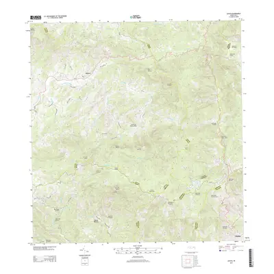 2013 Jayuya2013 Print · USGSCovers Ponce, including Jayuya, Hacienda Santa Rosa, and other nearby areas
 - 2013 Map of Playa De Ponce, 2013 Print
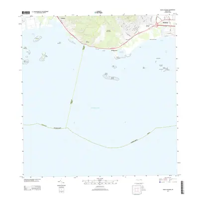
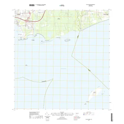
 2013 Playa De Ponce2013 Print · USGSCovers Ponce, including El Polvorín, Manzanilla, and other nearby areas
 - 2013 Map of Punta Cucharas, 2013 Print
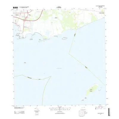
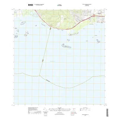
 2013 Punta Cucharas2013 Print · USGSCovers Ponce, including Villa Laramia, Ernesto Ramos Antonini, and other nearby areas
 - 2013 Map of Adjuntas, 2013 Print
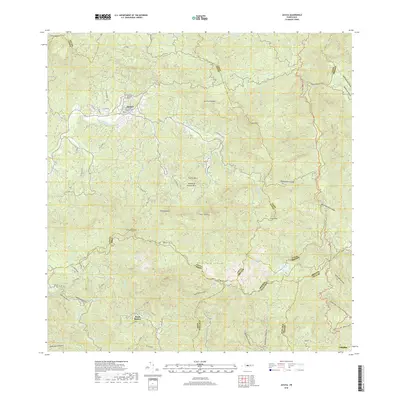
 2013 Adjuntas2013 Print · USGSCovers Ponce, including Adjuntas, Sector Vickey Oquendo, and other nearby areas
 - 2013 Map of Penuelas, 2013 Print
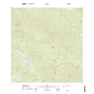
 2013 Penuelas2013 Print · USGSCovers Ponce, including Peñuelas, Sector Los Cruz, and other nearby areas
 - 2018 Map of Playa De Ponce, 2018 Print
 2018 Playa De Ponce2018 Print · USGSCovers Ponce, including El Polvorín, Manzanilla, and other nearby areas
 - 2018 Map of Punta Cucharas, 2018 Print
 2018 Punta Cucharas2018 Print · USGSCovers Ponce, including Villa Laramia, Ernesto Ramos Antonini, and other nearby areas
 - 2018 Map of Ponce, 2018 Print
 2018 Ponce2018 Print · USGSCovers Ponce, including Juana Díaz, Sector Piedras Blancas, and other nearby areas
 - 2018 Map of Penuelas, 2018 Print
 2018 Penuelas2018 Print · USGSCovers Ponce, including Peñuelas, Sector Los Cruz, and other nearby areas
 - 2018 Map of Jayuya, 2018 Print
 2018 Jayuya2018 Print · USGSCovers Ponce, including Jayuya, Hacienda Santa Rosa, and other nearby areas
 - 2018 Map of Adjuntas, 2018 Print
 2018 Adjuntas2018 Print · USGSCovers Ponce, including Adjuntas, Sector Vickey Oquendo, and other nearby areas
 - 2024 Map of Playa De Ponce, 2024 Print
 2024 Playa De Ponce2024 Print · USGSThe southern coast of Puerto Rico is captured here in contemporary detail, showing the integration of maritime industry and urban growth. Researchers can trace the layout of Playa de Ponce or locate landmarks like the Muelle de Ponce and offshore Isla Caja de Muertos.
 - 2024 Map of Punta Cucharas, 2024 Print
 2024 Punta Cucharas2024 Print · USGSThe coast of Ponce and the southern shoreline of the island are captured here in the contemporary era. Researchers can trace the layout of Playa de Ponce, find the Cementerio Municipal de la Playa, or locate the Instituto de Puerto Rico.
 - 2024 Map of Adjuntas, 2024 Print
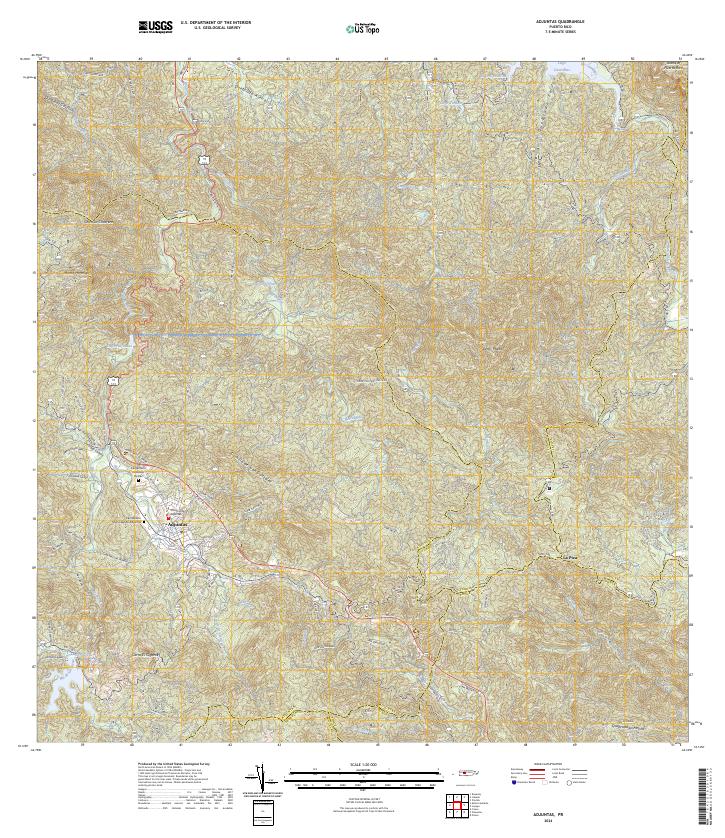 2024 Adjuntas2024 Print · USGSThe mountain town of Adjuntas is shown in the mid-2020s, highlighting the complex network of river valleys and reservoirs. Genealogists can trace family names through landmarks like Cementerio Remanso De Paz and local routes like Cam Lopez.
 - 2024 Map of Penuelas, 2024 Print
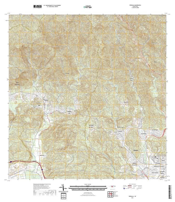 2024 Penuelas2024 Print · USGSSouthern Puerto Rico is mapped here in contemporary detail, showing the integration of the urban Ponce periphery with the mountains around Peñuelas. Researchers can identify specific local landmarks like the Tribunal de Peñuelas or trace family sites at the Cementerio La Piedad.
 - 2024 Map of Ponce, 2024 Print
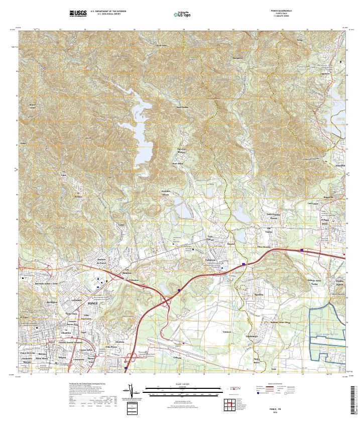 2024 Ponce2024 Print · USGSSouthern Puerto Rico's urban and mountainous transition is captured here, showing the growth of Ponce and Juana Díaz. Researchers can locate specialized sites like Mercedita Airport, various university campuses, and the Cementerio Las Mercedes.
 - 2024 Map of Jayuya, 2024 Print
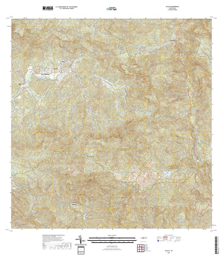 2024 Jayuya2024 Print · USGSThe Puerto Rican highlands come into sharp focus here during the early twenty-first century, showing the mountain interior's complex terrain. Researchers can locate family landmarks near Jayuya, trace rural paths in Anon, and find landmarks like Monte Jayuya or Lago El Guineo.
End of results
Showing maps 1-18 of 18
Frequently asked questions
- What are the different types of historical maps available for Ponce?
- What is the oldest map of Ponce?
- Where can I purchase historical maps of Ponce for my home or office?
- Where can I download high-res historical maps of Ponce?
- Are there historical topographic maps available for Ponce?
- Is there historical aerial imagery available for Ponce?
- Where are historical maps of Ponce sourced from?