Old Maps of Canas Urbano, Ponce for Hiking & Exploration
Hike through history with 35 historic maps of Canas Urbano. Explore old trails, ghost towns, and forgotten backroads — perfect for outdoor adventurers and local explorers.
- Rediscover forgotten places: Map out old mining camps, roads, and footpaths that no longer exist on modern maps.
- Layer with modern tools: Combine with LiDAR or satellite views to plan hikes through historical terrain.
- Made for exploration: Popular among hikers, overlanders, and local history lovers.
Use these maps to find adventure and explore the hidden past of Canas Urbano.
Canas Urbano, Ponce maps
(35)- 1945 Map of Playa De Ponce
 1945 Playa De Ponce1945 Print · USGSThe coastal sugar economy of southern Puerto Rico is on full display here during the mid-1940s. Genealogists and industrial historians can trace the operations of Central Constancia and the rail lines of the American Railroad of Puerto Rico.3 unique versions available
 - 1945 Map of Ponce
 1945 Ponce1945 Print · USGSThe southern coast of Puerto Rico in the 1940s showcases a landscape shaped by sugar production and ancestral haciendas. Genealogists and historians can trace family roots through numerous named estates like Hacienda Anón and industrial centers like Central Mercedita.3 unique versions available
 - 1946 Map of Punta Cuchara
 1946 Punta Cuchara1946 Print · USGSThe southern coast of Puerto Rico appears here during the mid-1940s, showing the vital maritime and rail corridors near Ponce. Researchers can locate the American Railroad line and trace agricultural estates like Hacienda Matilde or the old Faro on Cayo Cardona.3 unique versions available
 - 1946 Map of Penuelas
 1946 Penuelas1946 Print · USGSSouthern Puerto Rico was a landscape of traditional haciendas and emerging hydroelectric power in the years following the war. Genealogists and historians can trace family-named estates like Hacienda Dolores and the path of the American Railroad of P. R.3 unique versions available
 - 1947 Map of Punta Gughara NE
 1947 Punta Gughara NE1947 Print · USGSThe southern coast of Puerto Rico is captured here in the late 1940s, showing the agricultural and maritime character of the area around Ponce. Researchers can trace the layout of Hacienda Matilde, locate the coastal Faro, and explore the wetlands of Laguna de las Salinas.
 - 1947 Map of Ponce SO
 1947 Ponce SO1947 Print · USGSPonce's urban core and surrounding agricultural estates are captured here in the late 1940s as the city expanded toward the foothills. Local researchers can locate family landmarks like Hacienda Ana Maria, the Central Mercedita sugar mill, and the American Railroad.
 - 1947 Map of Penuelas SE
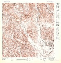 1947 Penuelas SE1947 Print · USGSCoastal and highland Puerto Rico meet in the 1940s near the western edge of Ponce and the Peñuelas border. Researchers can trace the legacy of the American Railroad and find landmarks like the Escuela Industrial de Niñas.
 - 1947 Map of Playa De Ponce NO
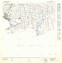 1947 Playa De Ponce NO1947 Print · USGSThe south coast of Puerto Rico is shown in the mid-1940s as an engine of the sugar industry and maritime trade. Genealogists and researchers can trace family lands at Hacienda Reparada or follow the shoreline from the Muelle de Ponce to Pta Cabullón.
 - 1952 Map of Playa De Ponce
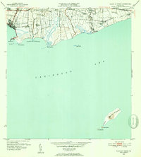 1952 Playa De Ponce1952 Print · USGSThe Puerto Rican coast near Ponce comes alive in the early fifties, showing a landscape of sugar centrales and coastal haciendas. Trace the sugar economy through Central Constancia and find offshore landmarks like the Faro on Isla Caja de Muertos.2 unique versions available
 - 1952 Map of Punta Cuchara
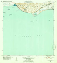 1952 Punta Cuchara1952 Print · USGSThe southern coast of Puerto Rico appears here at mid-century as a landscape of coastal railroads and colonial estates. Local historians can trace the Porto Rico American Railroad and identify old sites like Hacienda Matilde and Tallaboa Poniente.2 unique versions available
 - 1952 Map of Penuelas, 1953 Print
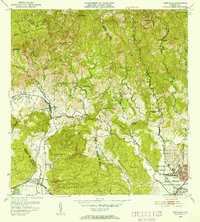 1952 Penuelas1953 Print · USGSPeñuelas and the southern foothills of the Cordillera Central are captured here in the early fifties during a period of industrial growth. You can trace the American Railroad of Porto Rico and locate historic estates like Hacienda Oliva and Hacienda Burenes.2 unique versions available
 - 1952 Map of Ponce, 1953 Print
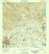 1952 Ponce1953 Print · USGSThe coastal plains and foothills of southern Puerto Rico appear here during the island's mid-century industrial peak. Researchers can trace the extensive sugar economy through named estates like Hacienda Cristina and the transit lines of the American RR of Puerto Rico.2 unique versions available
 - 1958 Map of Ponce, 1961 Print
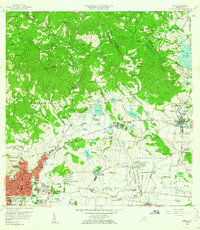 1958 Ponce1961 Print · USGSSouthern Puerto Rico in the late fifties shows the traditional barrios and sugar estates of the coastal plain. Genealogists and historians can locate family lands at Hacienda Luciana, trace the growth of Juana Díaz, or find the Catholic University.
 - 1958 Map of Penuelas, 1961 Print
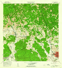 1958 Penuelas1961 Print · USGSSouthern Puerto Rico undergoes a mid-century industrial shift as mountain coffee lands meet coastal development. Genealogists and historians can trace family estates like Hacienda Dolores, old parish sites such as Iglesia San Marcus, and early infrastructure from the Refineria De Petroleo.
 - 1958 Map of Playa De Ponce, 1961 Print
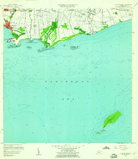 1958 Playa De Ponce1961 Print · USGSThe southern coast of Puerto Rico is captured here in the late fifties, showcasing the intricate network of riverside haciendas and the bustling waterfront at Playa de Ponce. Genealogists can trace family lands like Hacienda Serrano or locate the historic Faro and the distant Isla Caja de Muertos.
 - 1958 Map of Punta Cucharas, 1961 Print
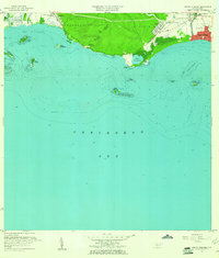 1958 Punta Cucharas1961 Print · USGSThe southern coast of Puerto Rico is captured here in the late fifties as the harbor at Playa de Ponce thrived. Researchers can trace the path of the Ferrocarril de Puerto Rico and locate local landmarks like Hacienda Matilde and Cayo Cardona.2 unique versions available
 - 1962 Map of Punta Cucharas, 1964 Print
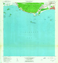 1962 Punta Cucharas1964 Print · USGSThe southern coast of Puerto Rico comes into focus during the early sixties as urban expansion reaches toward the sea. Researchers can trace the heritage of Playa de Ponce, the site of Hacienda Matilde, and the route of the Antigua Vía del Ferrocarril.4 unique versions available
 - 1962 Map of Playa De Ponce, 1964 Print
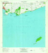 1962 Playa De Ponce1964 Print · USGSThe Caribbean coast of southern Puerto Rico comes alive in this early 1960s survey, highlighting the bustling maritime hub at Playa de Ponce. Researchers can trace the waterfront around the Muelle de Ponce or explore offshore landmarks like Isla Caja de Muertos.
 - 1964 Map of Ponce, 1965 Print
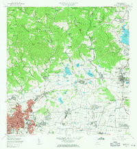 1964 Ponce1965 Print · USGSThe southern coast of Puerto Rico thrived in the mid-1960s as a hub of sugar production and urban growth. Genealogists and historians can trace family estates like Hacienda Maraguez and explore the industrial footprint of Central Mercedita and Fort Allen.
 - 1964 Map of Penuelas, 1966 Print
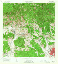 1964 Penuelas1966 Print · USGSSouthern Puerto Rico undergoes a transformation in the 1960s as industrial growth reaches the coastal valleys. Trace the footprint of agricultural estates like Hacienda Dolores and Hacienda Josefa alongside the massive Refinería de Petróleo.2 unique versions available
 - 1970 Map of Playa De Ponce, 1972 Print
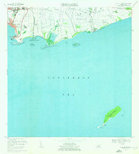 1970 Playa De Ponce1972 Print · USGSThe southern coast of Puerto Rico is captured here in the early seventies as industrial port activity and coastal barrios expanded. Genealogists and historians can trace family locations in Canas Urbano or offshore landmarks like Isla Caja de Muertos and Cayo Gata.3 unique versions available
 - 1970 Map of Ponce, 1972 Print
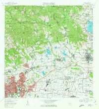 1970 Ponce1972 Print · USGSSouthern Puerto Rico in the early seventies shows a landscape balancing urban growth in Ponce with deep-rooted sugar traditions. Researchers can trace family estates and civic life through Central Mercedita, Hacienda Ana Maria, and Escuela Booker T Washington.4 unique versions available
 - 1972 Map of Penuelas, 1974 Print
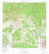 1972 Penuelas1974 Print · USGSPeñuelas and the western outskirts of Ponce are captured in the early seventies during a period of significant suburban and industrial expansion. Researchers can trace the heritage of local estates like Hacienda Esperanza or locate community anchors such as Iglesia San Mateo and Parque Montaner.2 unique versions available
 - 2013 Map of Ponce, 2013 Print
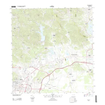 2013 Ponce2013 Print · USGSThe city of Ponce and its industrial corridor are captured during a period of modern expansion. Researchers can trace local history at the Vigia Observation Tower or locate family roots near Central Mercedita and Luis Llorens Torres.
 - 2013 Map of Playa De Ponce, 2013 Print
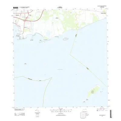 2013 Playa De Ponce2013 Print · USGSThe southern coast of Puerto Rico is captured here in the early twenty-first century, centered on the historic port and its offshore islands. Researchers can locate the El Faro Caja de Muerto lighthouse and the recreational spaces of the Ponce Yacht Club.
Showing maps 1-25 of 35
Frequently asked questions
- What are the different types of historical maps available for Canas Urbano?
- What is the oldest map of Canas Urbano?
- Where can I purchase historical maps of Canas Urbano for my home or office?
- Where can I download high-res historical maps of Canas Urbano?
- Are there historical topographic maps available for Canas Urbano?
- Is there historical aerial imagery available for Canas Urbano?
- Where are historical maps of Canas Urbano sourced from?