Old Maps of Ensenada, Rincón for Metal Detecting
Plan your next treasure hunt with 15 historic maps of Ensenada. Find old homesites, ghost towns, trails, and gathering spots that may be lost to time — perfect for identifying promising metal detecting locations.
- Locate forgotten sites: Uncover places like long-lost settlements, abandoned rail lines, or gathering spots.
- Plan better hunts: Use map overlays combined with LiDAR or satellite views to narrow in on historically rich areas.
- Made for detectorists: Thousands of hobbyists use these maps to discover relics, coins, and hidden history.
Use these historic maps to boost your research and find new opportunities beneath the surface of Ensenada.
Ensenada, Rincón maps
(15)- 1941 Map of Rincon
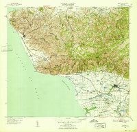
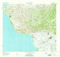
 1941 Rincon1941 Print · USGSCoastal western Puerto Rico in the early 1940s reveals a bustling landscape defined by the sugar industry and the sea. Trace the American Railroad of Puerto Rico as it links Rincón to major mills like Central Igualdad and Central Coloso.
 - 1941 Map of Rincon
 1941 Rincon1941 Print · USGSWestern Puerto Rico’s sugar economy is at its peak in the early 1940s, showing the intricate network of plantations and rails between the coast and the mountains. Genealogists can trace family lands through named estates like Colonia Dolores or follow the American Railroad of Puerto Rico through Añasco.
 - 1947 Map of Rincon
 1947 Rincon1947 Print · USGSCoastal Puerto Rico in the late 1940s reveals a landscape of sugarcane colonies and coastal railways. Researchers can trace family-named sites like Desvío Santoni, the Estación Añasco rail stop, and agricultural hubs like Colonia Libertad.2 unique versions available
 - 1947 Map of Rincon
 1947 Rincon1947 Print · USGSWestern Puerto Rico is captured here in the late 1930s, showing a landscape defined by the coastal sugar economy and the American RR. Genealogists can trace family locations through named colonias like Colonia Libertad and landmarks such as Central Igualdad.
 - 1949 Map of Rincon, 1952 Print
 1949 Rincon1952 Print · USGSWestern Puerto Rico is captured here in the late 1940s, highlighting the intricate network of sugar colonies and railroads. Genealogists can trace family connections to numerous named estates and landmarks like Colonia Libertad, Hacienda Eugenia, and the Pta Jiguera Lighthouse.2 unique versions available
 - 1950 Map of Rincon ONO
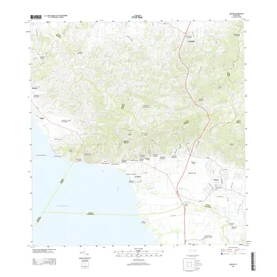
 1950 Rincon ONO1950 Print · USGSCoastal Rincón at mid-century reveals a landscape shaped by the rail industry and steep Caribbean topography. Genealogists and historians can trace old homesteads around Centro Puntas and the path of the American RR of Porto Rico as it skirts the shoreline.
 - 1950 Map of Rincon NO
 1950 Rincon NO1950 Print · USGSWestern Puerto Rico is captured here in the mid-century, showing the critical intersection of the coastal railroad and the interior sugar economy. Researchers can trace the path of the American RR past Central Calvache or locate the Escuela Segunda Unidad de Jagüey in the hills.
 - 1955 Map of Rincon, 1958 Print
 1955 Rincon1958 Print · USGSWestern Puerto Rico in the mid-1950s shows a landscape of coastal sugar colonies and steep mountain barrios. Genealogists and historians can trace family locations through numerous named estates like Colonia Pagán, landmark schools, and the Faro at the island's edge.
 - 1966 Map of Rincon, 1969 Print
 1966 Rincon1969 Print · USGSThe western tip of Puerto Rico at the mid-sixties shows a coast in transition between historic agriculture and modern infrastructure. Genealogists and historians can trace numerous rural schools and chapels like Capilla Santa Rita or the operations of the Central Igualdad sugar mill.2 unique versions available
 - 2013 Map of Rincon OE W, 2013 Print
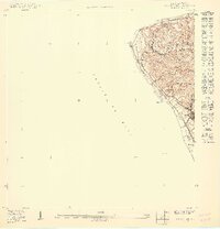
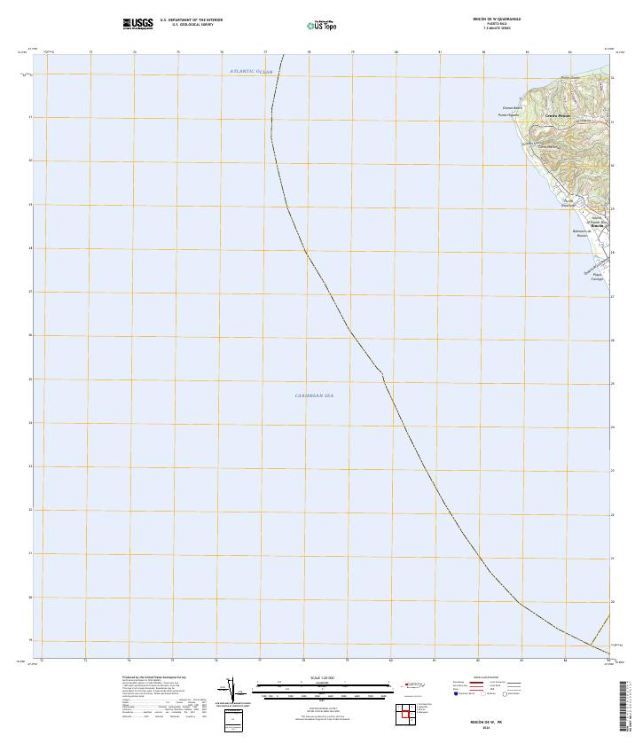
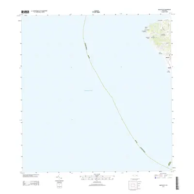 2013 Rincon OE W2013 Print · USGSCovers Ensenada, including Rincón, Rincón, and other nearby areas
 - 2013 Map of Rincon, 2013 Print
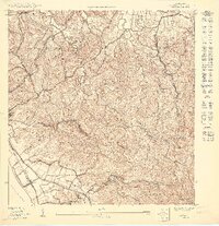
 2013 Rincon2013 Print · USGSCovers Ensenada, including Añasco, Sector Los Ríos, and other nearby areas
 - 2018 Map of Rincon OE W, 2018 Print
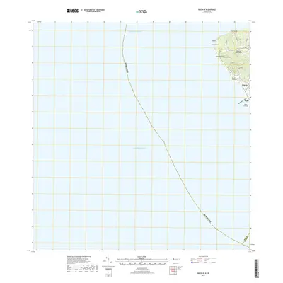 2018 Rincon OE W2018 Print · USGSCovers Ensenada, including Rincón, Rincón, and other nearby areas
 - 2018 Map of Rincon, 2018 Print
 2018 Rincon2018 Print · USGSCovers Ensenada, including Añasco, Sector Los Ríos, and other nearby areas
 - 2024 Map of Rincon OE W, 2024 Print
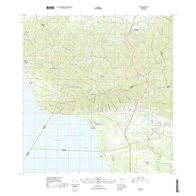
 2024 Rincon OE W2024 Print · USGSWestern Puerto Rico is documented here in the early twenty-first century as the coast meets two different seas. Local researchers can trace residential growth and land use around Centro Puntas, Domes Beach, and the inland roads of Cerro Martinica.
 - 2024 Map of Rincon, 2024 Print
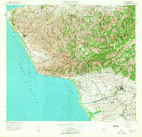
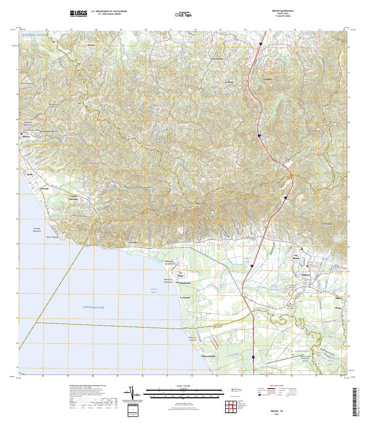 2024 Rincon2024 Print · USGSThe western coast of Puerto Rico is captured here in detail, showing the transition from the rugged hills of La Cadena to the sandy reaches of Playa Grande. Researchers can locate specific family sites near Cementerio Municipal de Añasco or trace the winding path of the Río Grande de Añasco.
End of results
Showing maps 1-15 of 15
Frequently asked questions
- What are the different types of historical maps available for Ensenada?
- What is the oldest map of Ensenada?
- Where can I purchase historical maps of Ensenada for my home or office?
- Where can I download high-res historical maps of Ensenada?
- Are there historical topographic maps available for Ensenada?
- Is there historical aerial imagery available for Ensenada?
- Where are historical maps of Ensenada sourced from?