Old Maps of Jauca I, Santa Isabel for Metal Detecting
Plan your next treasure hunt with 16 historic maps of Jauca I. Find old homesites, ghost towns, trails, and gathering spots that may be lost to time — perfect for identifying promising metal detecting locations.
- Locate forgotten sites: Uncover places like long-lost settlements, abandoned rail lines, or gathering spots.
- Plan better hunts: Use map overlays combined with LiDAR or satellite views to narrow in on historically rich areas.
- Made for detectorists: Thousands of hobbyists use these maps to discover relics, coins, and hidden history.
Use these historic maps to boost your research and find new opportunities beneath the surface of Jauca I.
Jauca I, Santa Isabel maps
(16)- 1944 Map of Santa Isabel
 1944 Santa Isabel1944 Print · USGSSouthern Puerto Rico during the 1940s is characterized by its thriving sugar estates and coastal transport network. Researchers can trace the layout of historic haciendas like Hacienda Florida and industrial sites like Central Cortada along the Ponce and Guayama rail line.3 unique versions available
 - 1945 Map of Salinas
 1945 Salinas1945 Print · USGSThe southern coast of Puerto Rico comes alive in this mid-century survey of the sugar-driven economy and maritime geography. Genealogists and historians can trace the legacy of local estates like Hacienda Margarita and the industrial hub at Central Caribe.2 unique versions available
 - 1947 Map of Santa Isabel NE
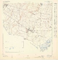 1947 Santa Isabel NE1947 Print · USGSThe southern coast of Puerto Rico is captured here in the mid-1940s, highlighting the industrial sugar culture and agricultural estates of the era. Genealogists and historians can trace family-named landmarks like Hacienda Florida, Colonia Hawaii, and the industrial center of Central Cortada.
 - 1947 Map of Salinas NO
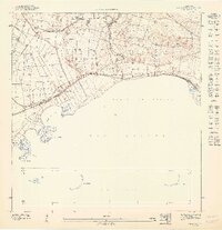 1947 Salinas NO1947 Print · USGSThe southern coast of Puerto Rico is captured here in the 1940s, highlighting the region's deep ties to coastal agriculture and the sea. Researchers can trace the layout of Hacienda Palés, the Canal de Juana Díaz, and the offshore Arrecife Media Luna.
 - 1952 Map of Santa Isabel, 1953 Print
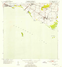 1952 Santa Isabel1953 Print · USGSThe southern coast of Puerto Rico is shown here in the early fifties, where the sugar economy and coastal geography intersect. Genealogists and local historians can trace named estates like Hacienda Florida and Colonia Hawaii or locate the old Ponce and Guayama rail line.2 unique versions available
 - 1952 Map of Salinas, 1953 Print
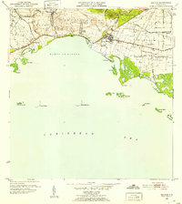 1952 Salinas1953 Print · USGSThe southern coast of Puerto Rico is captured here in the early 1950s, a landscape defined by sugar haciendas and the Caribbean shoreline. Genealogists and historians can locate family-named estates like Hacienda Pales and trace the sugar economy at Central Caribe.2 unique versions available
 - 1960 Map of Salinas, 1962 Print
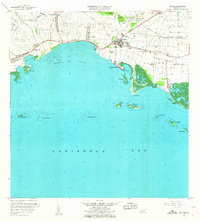 1960 Salinas1962 Print · USGSThe southern coast of Puerto Rico is captured here in the early sixties, showing the agricultural and maritime life of the region. Researchers can trace land holdings like Hacienda Teresa or locate the mid-century Aeropuerto de Salinas.2 unique versions available
 - 1960 Map of Santa Isabel, 1962 Print
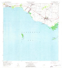 1960 Santa Isabel1962 Print · USGSThe southern coast of Puerto Rico comes alive in this mid-century survey of the plains between the mountains and the Caribbean. Researchers can trace the layout of Central Cortada, find the locations of Hacienda Florida and Hacienda Alomar, or locate the Aeropuerto de Santa Isabel.2 unique versions available
 - 1970 Map of Salinas, 1972 Print
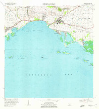 1970 Salinas1972 Print · USGSThe southern coast of Puerto Rico is captured here in the early seventies, detailing the transition from mountain foothills to the Caribbean. Trace historic family estates like Hacienda Carmen or explore coastal features like Mar Negro and the Aeropuerto de Salinas.4 unique versions available
 - 1972 Map of Santa Isabel, 1973 Print
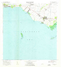 1972 Santa Isabel1973 Print · USGSThe southern coast of Puerto Rico is captured here in the early seventies, showing a landscape defined by sugar history and maritime activity. Researchers can locate family estates like Hacienda Florida, the old Estación Santa Isabel, and coastal landmarks like Cayo Berbería.2 unique versions available
 - 2013 Map of Salinas, 2013 Print
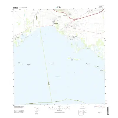 2013 Salinas2013 Print · USGSThe southern coast of Puerto Rico is mapped here in the early twenty-first century, showing the developed waterfront of Salinas. Researchers can trace local neighborhoods from Las Ochenta to Playita and explore the complex reef system including Arrecife Media Luna.
 - 2013 Map of Santa Isabel, 2013 Print
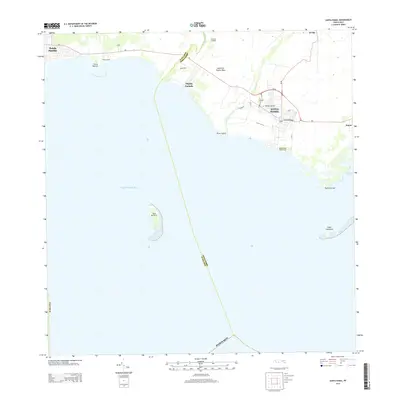 2013 Santa Isabel2013 Print · USGSThe southern coast of Puerto Rico is shown here in the early twenty-first century, centered on the historic town of Santa Isabel. Researchers can trace local landmarks like the Santiago Apostol church and coastal sites such as Central Cortada and Cayo Berbería.
 - 2018 Map of Salinas, 2018 Print
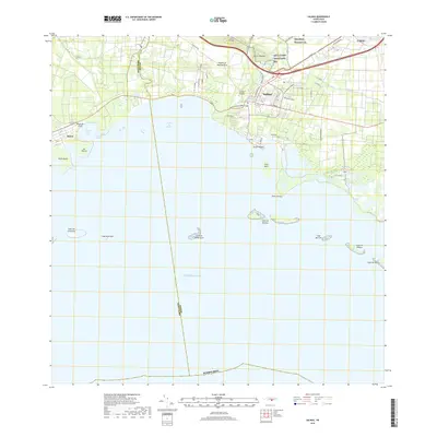 2018 Salinas2018 Print · USGSCoastal Salinas thrives along the Caribbean in the late 2010s, shaped by its proximity to military grounds and a protected island-dotted shoreline. Local researchers can trace the coastal layout near Playa de Jauca, the Cementerio Municipal de Salinas, and the reefs of Arrecife Media Luna.
 - 2018 Map of Santa Isabel, 2018 Print
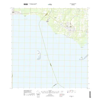 2018 Santa Isabel2018 Print · USGSThe southern coast of Puerto Rico is captured here in the late 2010s, showcasing the maritime and agricultural character of the region. Genealogists and researchers can trace local landmarks from the Santiago Apostol Isabel Cem to coastal points like Punta Petrona and Cayo Berberia.
 - 2024 Map of Santa Isabel, 2024 Print
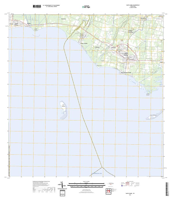 2024 Santa Isabel2024 Print · USGSThe southern coast of Puerto Rico is captured here in the 2020s, showcasing the development of Santa Isabel and its surrounding coastal barrios. Trace family roots and local landmarks at the Santiago Apostol Santa Isabel Cem or explore the waterfronts of Playa de Santa Isabel and Playita Cortada.
 - 2024 Map of Salinas, 2024 Print
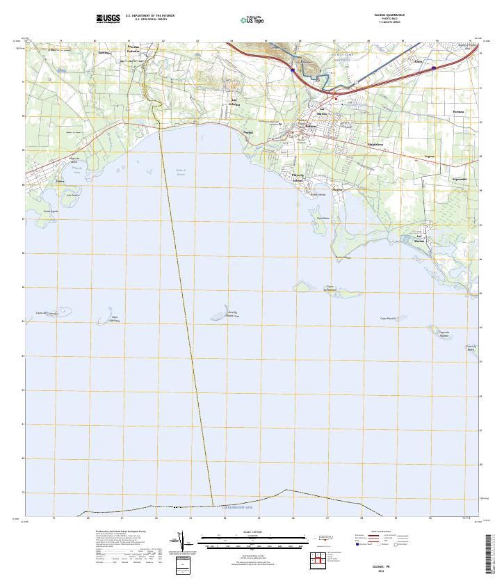 2024 Salinas2024 Print · USGSThe southern coast of Puerto Rico is mapped here in the early twenty-first century, showing the developed corridor between the mountains and the sea. Researchers can locate the Cementerio Municipal de Salinas, the military training grounds of NG MTA Camp Santiago, and coastal villages like Las Mareas.
End of results
Showing maps 1-16 of 16
Frequently asked questions
- What are the different types of historical maps available for Jauca I?
- What is the oldest map of Jauca I?
- Where can I purchase historical maps of Jauca I for my home or office?
- Where can I download high-res historical maps of Jauca I?
- Are there historical topographic maps available for Jauca I?
- Is there historical aerial imagery available for Jauca I?
- Where are historical maps of Jauca I sourced from?