Old Maps of Vieques for Genealogy
Trace your family roots with 20 historic maps of Vieques. These high-res maps reveal old neighborhoods, homesites, landmarks, and streets — helping you uncover where your ancestors lived and how the area evolved over time.
- Explore historic neighborhoods: Identify where your relatives may have lived in the 1800s or 1900s.
- Compare maps over time: Trace the changes in streets, buildings, and landmarks for multi-generational research.
- Perfect for genealogy & ancestry research: Used by family historians and researchers to map out lineage and migration.
These maps are an incredible resource for exploring your personal connection to Vieques's past.
Vieques maps
(20)- 1943 Map of Island Of Vieques, 1946 Print
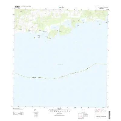
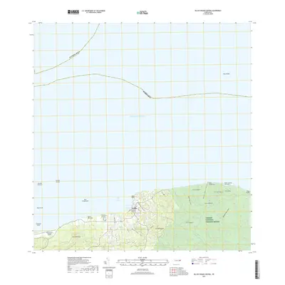
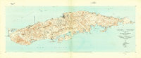 1943 Island Of Vieques1946 Print · USGSVieques during the 1940s reveals a maritime and agricultural landscape shaped by its barrios and coastal colonies. Trace the layout of Isabel Segunda, the agricultural sites at Colonia Lujan, and landmarks like Pta Mulas Faro.2 unique versions available
 - 1951 Map of Island Of Vieques
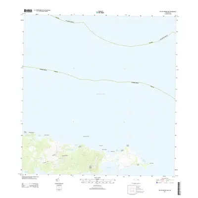
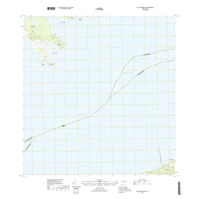
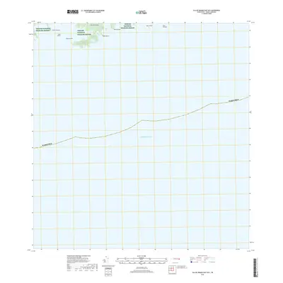
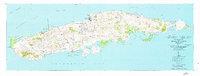 1951 Island Of Vieques1951 Print · USGSVieques is shown in detail during the early fifties, documenting the island's mid-century settlements and coastal geography. Researchers can trace the development of Isabel Segunda and find rural landmarks like Hacienda Arcadia and Colonia Luján.5 unique versions available
 - 2013 Map of Isla De Vieques West, 2013 Print
 2013 Isla De Vieques West2013 Print · USGSCovers Vieques, including Mosquito, Florida, and other nearby areas
 - 2013 Map of Isla De Vieques Central, 2013 Print
 2013 Isla De Vieques Central2013 Print · USGSCovers Vieques, including Isabel Segunda, Quintas de Santa Elena, and other nearby areas
 - 2013 Map of Isla De Vieques Central OE S, 2013 Print
 2013 Isla De Vieques Central OE S2013 Print · USGSCovers Vieques, including El Pilón, La Hueca, and other nearby areas
 - 2013 Map of Isla De Vieques East, 2013 Print
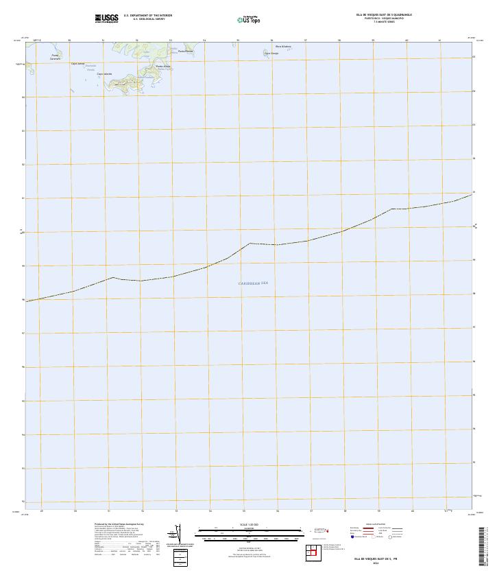
 2013 Isla De Vieques East2013 Print · USGSCovers Vieques, including Puerto Diablo, Puerto Rico, and other nearby areas
 - 2013 Map of Isla De Vieques East OE S, 2013 Print
 2013 Isla De Vieques East OE S2013 Print · USGSCovers Vieques, including Puerto Diablo, Puerto Rico, and other nearby areas
 - 2013 Map of Isla De Vieques West OE S, 2013 Print
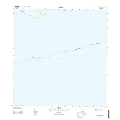
 2013 Isla De Vieques West OE S2013 Print · USGSCovers Vieques, including Punta Arenas, Mosquito, and other nearby areas
 - 2018 Map of Isla De Vieques Central, 2018 Print
 2018 Isla De Vieques Central2018 Print · USGSCovers Vieques, including Isabel Segunda, Quintas de Santa Elena, and other nearby areas
 - 2018 Map of Isla De Vieques West, 2018 Print
 2018 Isla De Vieques West2018 Print · USGSCovers Vieques, including Mosquito, Florida, and other nearby areas
 - 2018 Map of Isla De Vieques West OE S, 2018 Print
 2018 Isla De Vieques West OE S2018 Print · USGSCovers Vieques, including Punta Arenas, Mosquito, and other nearby areas
 - 2018 Map of Isla De Vieques Central OE S, 2018 Print
 2018 Isla De Vieques Central OE S2018 Print · USGSCovers Vieques, including El Pilón, La Hueca, and other nearby areas
 - 2018 Map of Isla De Vieques East OE S, 2018 Print
 2018 Isla De Vieques East OE S2018 Print · USGSCovers Vieques, including Puerto Diablo, Puerto Rico, and other nearby areas
 - 2018 Map of Isla De Vieques East, 2018 Print
 2018 Isla De Vieques East2018 Print · USGSCovers Vieques, including Puerto Diablo, Puerto Rico, and other nearby areas
 - 2024 Map of Isla De Vieques East, 2024 Print
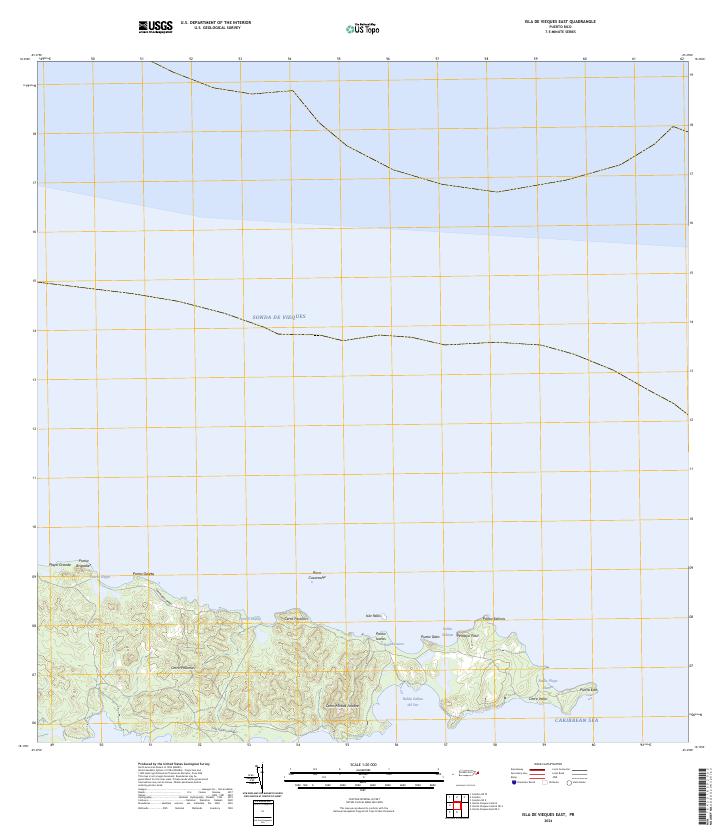 2024 Isla De Vieques East2024 Print · USGSThe eastern reaches of Vieques are documented here in the 2020s, showing the protected wilderness and rugged coastline of the Vieques National Wildlife Refuge. Researchers can trace the trails near Cerro Matías Jalobre or locate coastal landmarks like Punta Este and Bahía Salinas del Sur.
 - 2024 Map of Isla De Vieques Central OE S, 2024 Print
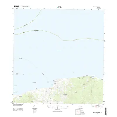
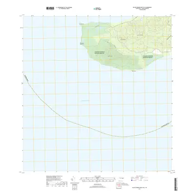
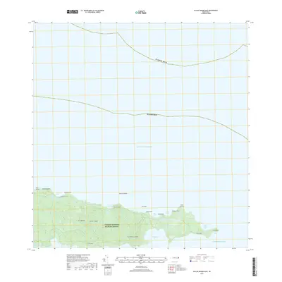
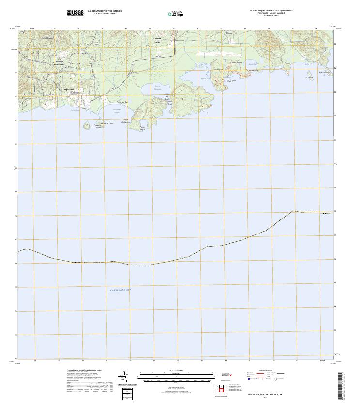 2024 Isla De Vieques Central OE S2024 Print · USGSSouthern Vieques remains a landscape of coastal settlements and conservation at the time of this survey. Genealogists and researchers can trace the roads of Esperanza or locate the inland sites of Colonia Fuerto Real and Colonia Luján.
 - 2024 Map of Isla De Vieques Central, 2024 Print
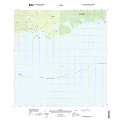
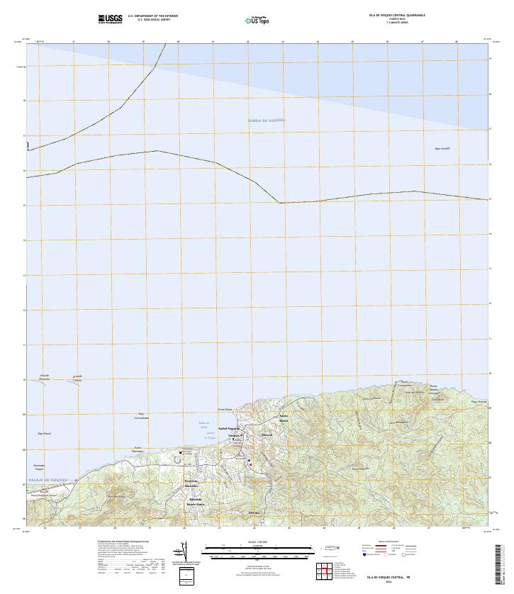 2024 Isla De Vieques Central2024 Print · USGSModern-day Vieques is captured here during the 2020s, showing the island's primary hub of Isabel Segunda and its surrounding coastal landscape. Trace local sites including the Antonio Rivera Rodriguez Airport, the Cementerio Viejo de Vieques, and Punta Mulas.
 - 2024 Map of Isla De Vieques East OE S, 2024 Print
 2024 Isla De Vieques East OE S2024 Print · USGSThe eastern coast of Vieques remains a landscape of conservation and maritime isolation in the early twenty-first century. Researchers can trace the protected shorelines of Vieques National Wildlife Refuge, from the reaches of Ensenada Honda to Roca Alcatraz.
 - 2024 Map of Isla De Vieques West OE S, 2024 Print
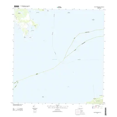
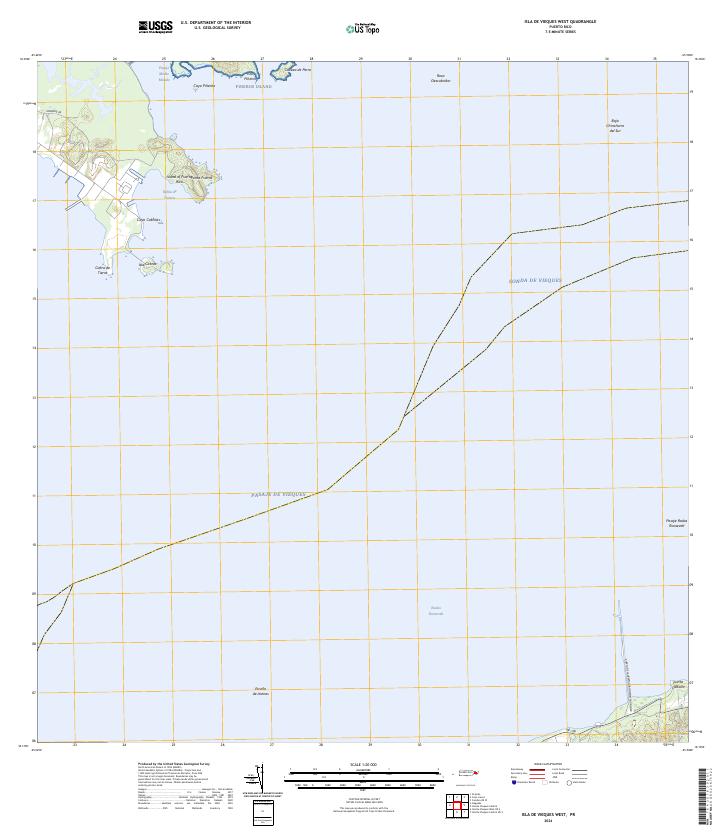
 2024 Isla De Vieques West OE S2024 Print · USGSWestern Vieques is shown here in the mid-2020s, highlighting the transition of former naval lands into conservation areas. Researchers can trace land management boundaries and coastal landmarks like Punta Arenas, Monte Pirata, and the Vieques National Wildlife Refuge.
 - 2024 Map of Isla De Vieques West, 2024 Print
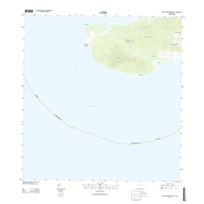
 2024 Isla De Vieques West2024 Print · USGSEastern Puerto Rico and the western edge of Vieques meet in this recent coastal survey. Researchers can trace maritime landmarks from the Puerto de la Libertad David Sanis Rodriguez to offshore points like Isla Piñeros and Cayo Cabritas.
End of results
Showing maps 1-20 of 20
Frequently asked questions
- What are the different types of historical maps available for Vieques?
- What is the oldest map of Vieques?
- Where can I purchase historical maps of Vieques for my home or office?
- Where can I download high-res historical maps of Vieques?
- Are there historical topographic maps available for Vieques?
- Is there historical aerial imagery available for Vieques?
- Where are historical maps of Vieques sourced from?