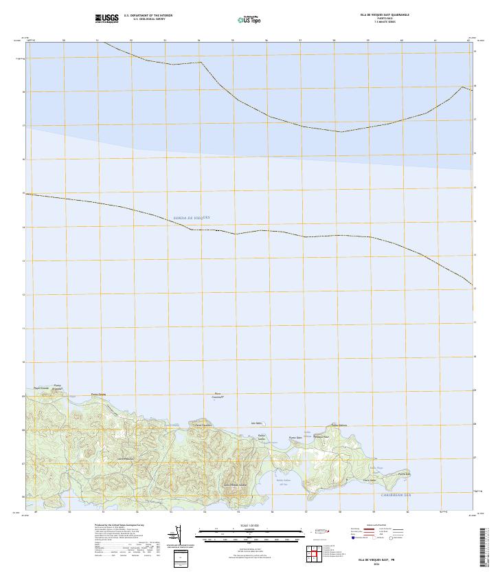
2024 Map of Isla De Vieques East
USGS Topo · Published 2024About this map
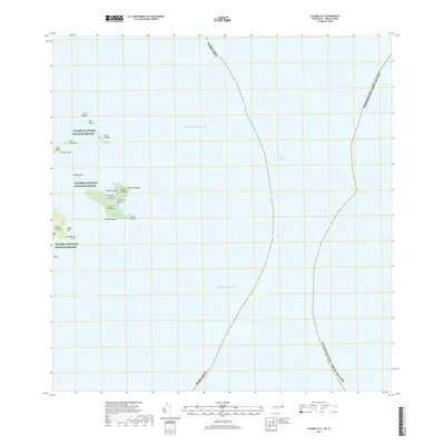
The Vieques National Wildlife Refuge dominates the eastern tip of the island, preserving a landscape defined by sharp peaks and secluded coastal inlets. Elevations rise from the coastline to notable high points such as Cerro Palomas, Cerro Farallón, and Cerro Matías Jalobre, providing a view of the surrounding Sonda de Vieques and the Caribbean Sea. The topography is particularly dense near the easternmost point at Punta Este, where the land narrows between the northern and southern shores.
Find a feature on this map
24 named features on this map. Tap any name to fly to it.
Don’t see what you’re looking for? This feature index may not catch every label — zoom into the map to look around manually.
Map Details
Editions of this 2024 Isla De Vieques East Map
This is the sole edition of this map. No revisions or reprints were ever made.
Other maps of this area

1943 · Island Of Vieques
USGS Topo · 1:30,000

1951 · Island Of Vieques
USGS Topo · 1:30,000
2013 · Isla De Vieques Central
USGS Topo · 1:20,000
2013 · Isla De Vieques Central OE S
USGS Topo · 1:20,000
2013 · Culebra OE E
USGS Topo · 1:20,000
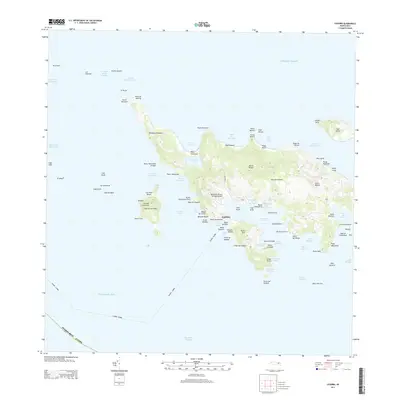
2013 · Culebra
USGS Topo · 1:20,000
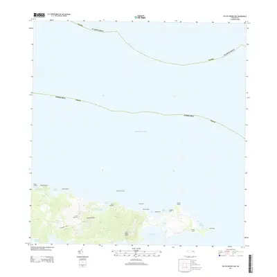
2013 · Isla De Vieques East
USGS Topo · 1:20,000
2013 · Isla De Vieques East OE S
USGS Topo · 1:20,000
2013 · Culebra OE W
USGS Topo · 1:20,000
2018 · Culebra OE E
USGS Topo · 1:20,000