Old Maps of Sector Los Colones, Yabucoa for Academic Research
Study the evolution of Sector Los Colones with 7 high-resolution historic maps. Whether you're teaching, researching, or modeling changes in land use, these maps provide essential visual documentation of urban, environmental, and geographic change.
- Analyze long-term change: Track patterns in development, transportation, and natural features.
- Ideal for environmental or urban studies: Support academic projects with primary historical map data.
- Use in the classroom or lab: Educators and researchers rely on these maps to bring historical context to life.
These maps are a powerful tool for teaching, research, and visualizing how Sector Los Colones has changed over the decades.
Sector Los Colones, Yabucoa maps
(7)- 1946 Map of Punta Guayanes
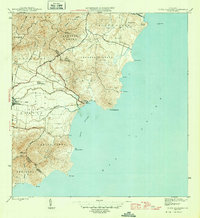 1946 Punta Guayanes1946 Print · USGSThe coastal sugar and rail landscape of eastern Puerto Rico is captured here in the mid-1940s. Genealogists and historians can trace the industrial footprint of Central Roig and find old settlements like Colonia Monserrate and Playa de Guayanes.3 unique versions available
 - 1947 Map of Punta Guayanes SO
 1947 Punta Guayanes SO1947 Print · USGSSoutheast Puerto Rico in the late 1940s reveals a landscape of sugar production and coastal navigation. Genealogists and historians can trace the roads near Central Roig or locate coastal landmarks like Pta Yeguas and the Pyramid Beacon.
 - 1952 Map of Punta Guayanes, 1953 Print
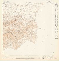
 1952 Punta Guayanes1953 Print · USGSSoutheast Puerto Rico’s coastline in the early fifties shows a vibrant agricultural and maritime landscape centered around the sugar industry. Genealogists and historians can trace family locations in Colonia Monserrate, Playa de Guayanes, and near the industrial site of Central Roig.2 unique versions available
 - 1960 Map of Punta Guayanes, 1962 Print
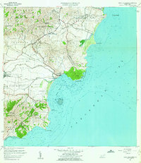 1960 Punta Guayanes1962 Print · USGSThe Yabucoa coastline in the early sixties reveals a landscape shaped by sugar production and rural commerce. Genealogists and historians can locate former schools like Escuela Asunción Lopez and trace the sugar infrastructure of Central Roig.6 unique versions available
 - 2013 Map of Punta Guayanes, 2013 Print
 2013 Punta Guayanes2013 Print · USGSCovers Sector Los Colones, including Palladio, Urbanización Arboleda, and other nearby areas
 - 2018 Map of Punta Guayanes, 2018 Print
 2018 Punta Guayanes2018 Print · USGSCovers Sector Los Colones, including Palladio, Urbanización Arboleda, and other nearby areas
 - 2024 Map of Punta Guayanes, 2024 Print
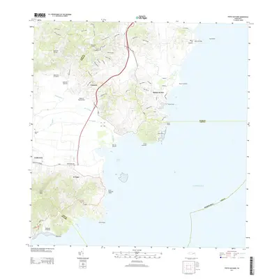
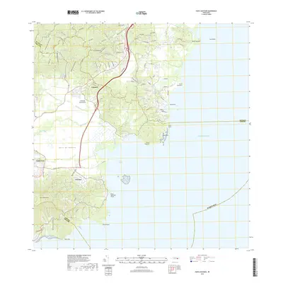
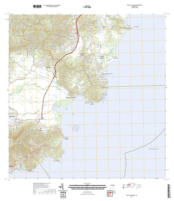 2024 Punta Guayanes2024 Print · USGSThe Yabucoa coast and fertile valley are documented here during a period of modern development and educational growth. Researchers can trace the coastal landscape from Palmas del Mar to Puerto Yabucoa or locate inland sites like El Negro.
End of results
Showing maps 1-7 of 7
Top cities near Sector Los Colones
- Caguas historical maps
- Humacao historical maps
- San Lorenzo historical maps
- Juncos historical maps
- Arroyo historical maps
- Yabucoa historical maps
See more
Frequently asked questions
- What are the different types of historical maps available for Sector Los Colones?
- What is the oldest map of Sector Los Colones?
- Where can I purchase historical maps of Sector Los Colones for my home or office?
- Where can I download high-res historical maps of Sector Los Colones?
- Are there historical topographic maps available for Sector Los Colones?
- Is there historical aerial imagery available for Sector Los Colones?
- Where are historical maps of Sector Los Colones sourced from?