Old Maps of Almácigo Bajo, Yauco for Academic Research
Study the evolution of Almácigo Bajo with 16 high-resolution historic maps. Whether you're teaching, researching, or modeling changes in land use, these maps provide essential visual documentation of urban, environmental, and geographic change.
- Analyze long-term change: Track patterns in development, transportation, and natural features.
- Ideal for environmental or urban studies: Support academic projects with primary historical map data.
- Use in the classroom or lab: Educators and researchers rely on these maps to bring historical context to life.
These maps are a powerful tool for teaching, research, and visualizing how Almácigo Bajo has changed over the decades.
Almácigo Bajo, Yauco maps
(16)- 1937 Map of Sabana Grande
 1937 Sabana Grande1937 Print · USGSThe Sabana Grande region in the mid-1930s shows a landscape of mountain ridges and fertile valley floors during a period of agricultural expansion. Genealogists and researchers can locate dozens of named rural schools and trace the American Railroad through Estacion Limon and Estacion Santa Rita.2 unique versions available
 - 1941 Map of Sabana Grande
 1941 Sabana Grande1941 Print · USGSSouthwest Puerto Rico in the late 1930s shows a landscape of rail-dependent agriculture and highland settlements. Researchers can trace the American Railroad of Porto Rico through stops at Estacion Limon and Fraternidad near the edge of the Laguna de Guanica.5 unique versions available
 - 1946 Map of Yauco
 1946 Yauco1946 Print · USGSSouthern Puerto Rico in the 1940s reveals a landscape of industrial sugar mills and high-altitude coffee haciendas. Genealogists and historians can locate specific family-named estates like Hacienda Catalina or trace the rural schools such as the Escuela Segunda Unidad de Santo Domingo and the infrastructure around Central Rufina.3 unique versions available
 - 1947 Map of Yauco SO
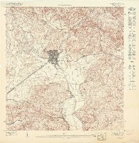 1947 Yauco SO1947 Print · USGSCoastal plains and southern foothills meet in the late 1940s as this survey of Puerto Rico shows the area's transition into a major regional hub. Genealogists and historians can trace the grid of Yauco and the path of the Linea De American Porto Rico Railroad past Barinas and Palomas.
 - 1949 Map of Sabana Grande SE
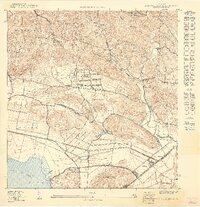 1949 Sabana Grande SE1949 Print · USGSThe Guánica and Sabana Grande borderlands are captured in the late 1940s, showing the sugar-driven economy of the southern coast. Researchers can trace the American RR of Porto Rico to Estación Santa Rita and locate rural schools like Escuela Arenas.
 - 1952 Map of Yauco, 1953 Print
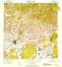 1952 Yauco1953 Print · USGSCoastal and mountain life in southern Puerto Rico are captured here just after the mid-century, from the sugar mills to the high haciendas. Genealogists and historians can trace family roots through named estates like Hacienda Mogote and the residential streets of Yauco.2 unique versions available
 - 1956 Map of Sabana Grande, 1959 Print
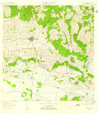 1956 Sabana Grande1959 Print · USGSSabana Grande and the surrounding mountain barrios are shown here in the mid-fifties, just as the valley irrigation systems were transforming the landscape. Trace old community roots at the Iglesia de Sagrada Corazon de Jesus or along the Antigua Via del Ferrocarril.
 - 1958 Map of Yauco, 1961 Print
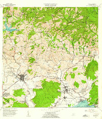 1958 Yauco1961 Print · USGSThe southwestern coast of Puerto Rico during the late fifties shows a landscape of historic coffee and sugar estates transitioning into an industrial era. Genealogists and historians can trace family landholdings from Hacienda Pintado to Hacienda Florida, or locate local landmarks like Central Rufina and the Cementerio Municipal.2 unique versions available
 - 1966 Map of Yauco, 1968 Print
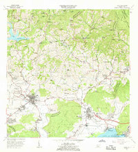 1966 Yauco1968 Print · USGSThe hills surrounding Yauco are documented here during a period of transition between traditional mountain estates and coastal industry. Researchers can trace family roots through numerous named estates like Hacienda Gloria and Hacienda Catalina or locate rural landmarks like Iglesia El Paraiso.4 unique versions available
 - 1966 Map of Sabana Grande, 1969 Print
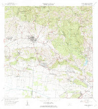 1966 Sabana Grande1969 Print · USGSSabana Grande and the surrounding southwestern highlands are captured here during a period of significant rural development in the mid-sixties. Researchers can trace the Antigua Via del Ferrocarril and locate landmarks like the Capilla del Pozo de la Virgen and Aeropuerto Santa Rita.3 unique versions available
 - 2013 Map of Sabana Grande, 2013 Print
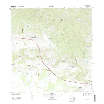 2013 Sabana Grande2013 Print · USGSCovers Almácigo Bajo, including Sabana Grande, Villa Juanita, and other nearby areas
 - 2013 Map of Yauco, 2013 Print
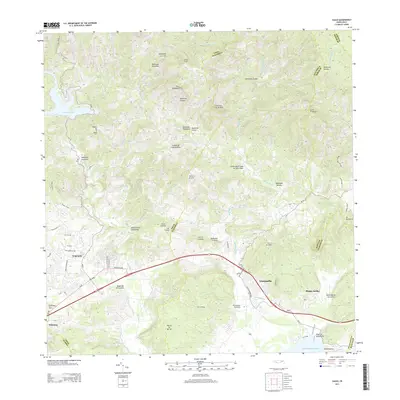 2013 Yauco2013 Print · USGSSouthern Puerto Rico in the early twenty-first century reveals a landscape of deep valleys and coastal plains. Researchers can trace the development of Yauco and Guayanilla while locating specific local sites like the Cementerio Municipal and Lago Lucchetti.
 - 2018 Map of Yauco, 2018 Print
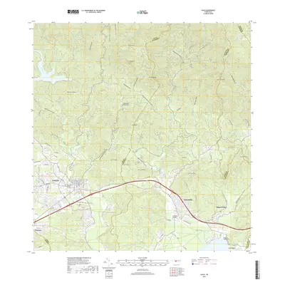 2018 Yauco2018 Print · USGSSouthern Puerto Rico's mountainous backdrop meets the coast in this modern survey of the Yauco and Guayanilla region. Genealogists and local historians can locate family sites near Viejo Cementerio Municipal de Yauco or trace rural life in Las Cruces and Magas Arriba.
 - 2018 Map of Sabana Grande, 2018 Print
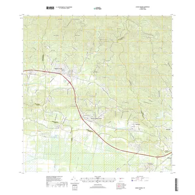 2018 Sabana Grande2018 Print · USGSThe northern foothills meet the irrigated southern plains in this recent survey of the Sabana Grande region. Researchers can trace local landmarks and infrastructure from the Cementerio Municipal Sabana Grande to the Canal Principal De Riego Valle De Lajas.
 - 2024 Map of Yauco, 2024 Print
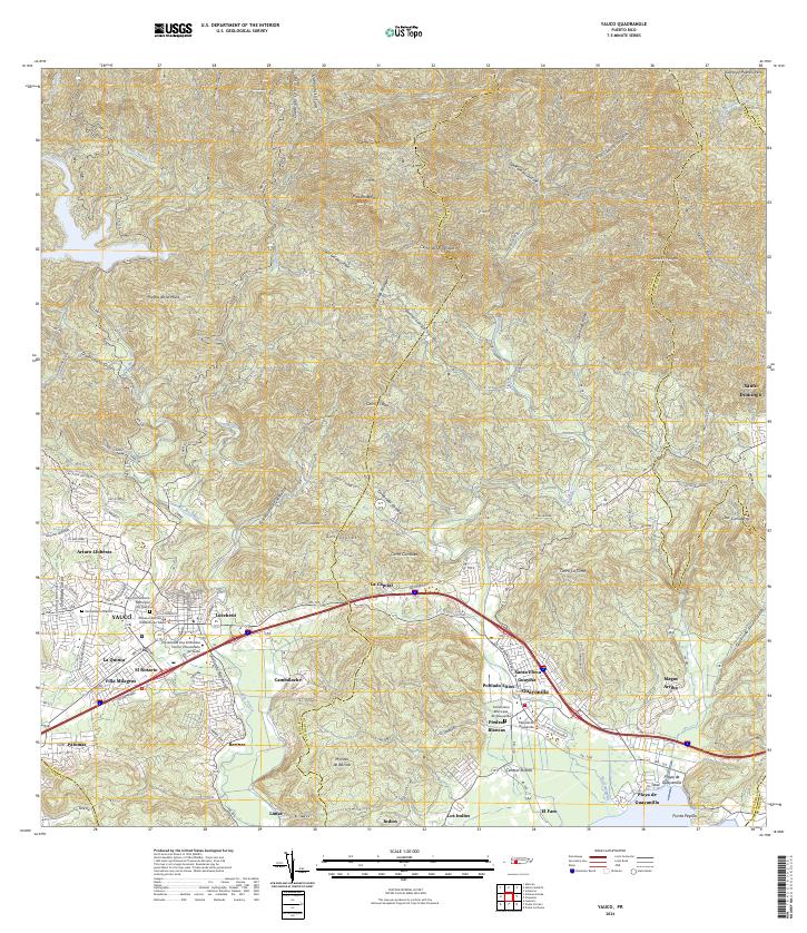 2024 Yauco2024 Print · USGSSouthern Puerto Rico's mountain-to-sea geography is on full display in this contemporary survey of the Yauco and Guayanilla corridor. Researchers can trace family sites at the Viejo Cementerio Municipal De Yauco or explore industrial landmarks like Central Rufina.
 - 2024 Map of Sabana Grande, 2024 Print
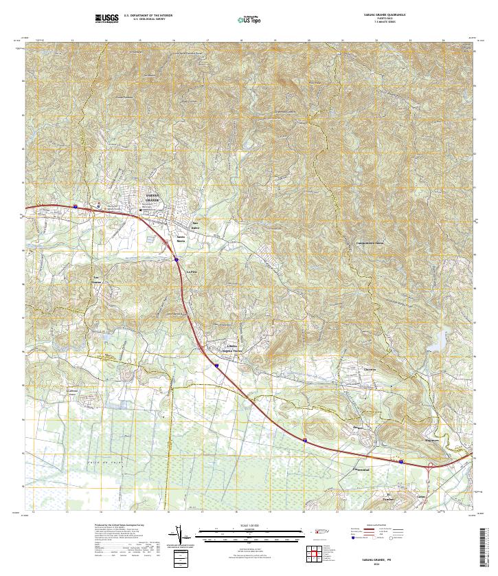 2024 Sabana Grande2024 Print · USGSSabana Grande and the surrounding valley are captured here in the contemporary era as they transition from mountain foothills to fertile plains. Researchers can locate specific neighborhoods like San Isidro and La Pica, or trace the vital Canal Principal De Riego Valle De Lajas.
End of results
Showing maps 1-16 of 16
Frequently asked questions
- What are the different types of historical maps available for Almácigo Bajo?
- What is the oldest map of Almácigo Bajo?
- Where can I purchase historical maps of Almácigo Bajo for my home or office?
- Where can I download high-res historical maps of Almácigo Bajo?
- Are there historical topographic maps available for Almácigo Bajo?
- Is there historical aerial imagery available for Almácigo Bajo?
- Where are historical maps of Almácigo Bajo sourced from?