2020s Maps of Autauga County, Alabama
Explore 38 historic maps of Autauga County from the 2020s. These maps offer a rare glimpse into what life looked like during the 2020s — showing old roads, neighborhoods, homes, and landmarks that have changed or disappeared over time.
Whether you're researching your family's past, planning a metal detecting trip, or studying how Autauga County's landscape evolved across the 2020s, these high-resolution maps are a powerful tool for exploring the history of this region.
- Focus on a specific era: All maps on this page are from the 2020s, giving you a focused view of this time period.
- See what’s changed: Compare century-old streets, trails, and buildings to today's modern landscape using overlays and satellite layers.
- Research with precision: Use these maps for genealogy, historical research, land use analysis, or educational projects.
- View, download, or print: Maps are fully viewable online in high resolution, and can be downloaded or printed for your own records.
Start exploring Autauga County's history through authentic maps from the 2020s. This is your window into the past.
Autauga County, AL maps
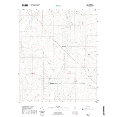
(38)- 2020 Map of Pletcher, 2020 Print
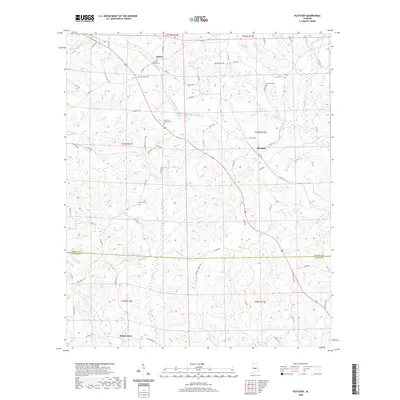 2020 Pletcher2020 Print · USGSCovers Autauga County, including Adams, Pletcher, and other nearby areas
 - 2020 Map of Autaugaville, 2020 Print
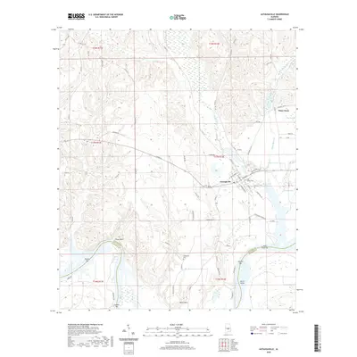 2020 Autaugaville2020 Print · USGSCovers Autauga County, including Autaugaville, White Water, and other nearby areas
 - 2020 Map of White Hall, 2020 Print
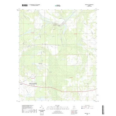 2020 White Hall2020 Print · USGSCovers Autauga County, including White Hall, Trickem, and other nearby areas
 - 2020 Map of Forester, 2020 Print
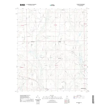
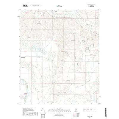 2020 Forester2020 Print · USGSCovers Autauga County, including Prattville, Autaugaville, and other nearby areas
 - 2020 Map of Benton, 2020 Print
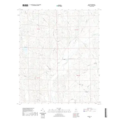
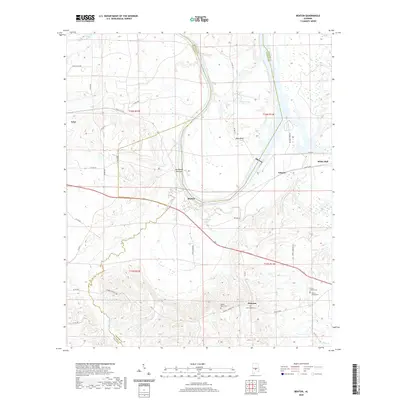 2020 Benton2020 Print · USGSCovers Autauga County, including White Hall, Benton, and other nearby areas
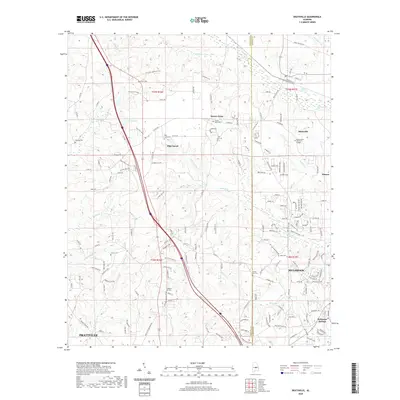
 - 2020 Map of Prattville, 2020 Print
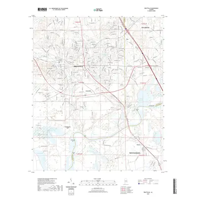 2020 Prattville2020 Print · USGSCovers Autauga County, including Montgomery, Prattville, and other nearby areas
 - 2020 Map of Burnsville, 2020 Print
 2020 Burnsville2020 Print · USGSCovers Autauga County, including Selma, Valley Grande, and other nearby areas
 - 2020 Map of Milton, 2020 Print
 2020 Milton2020 Print · USGSCovers Autauga County, including Bonita, Evergreen, and other nearby areas
 - 2020 Map of Billingsley, 2020 Print
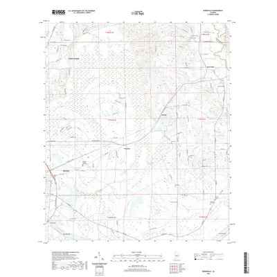
 2020 Billingsley2020 Print · USGSCovers Autauga County, including Billingsley, Pools Crossroads, and other nearby areas
 - 2020 Map of Vida, 2020 Print
 2020 Vida2020 Print · USGSCovers Autauga County, including Joffre, Independence, and other nearby areas
 - 2020 Map of Deatsville, 2020 Print
 2020 Deatsville2020 Print · USGSCovers Autauga County, including Prattville, Millbrook, and other nearby areas
 - 2020 Map of Old Kingston, 2020 Print
 2020 Old Kingston2020 Print · USGSCovers Autauga County, including Prattville, Mount Sinai, and other nearby areas
 - 2020 Map of Cantelous, 2020 Print
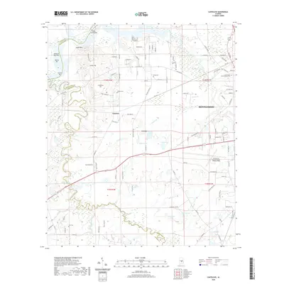 2020 Cantelous2020 Print · USGSCovers Autauga County, including Montgomery, Brewer Estates, and other nearby areas
 - 2020 Map of White City, 2020 Print
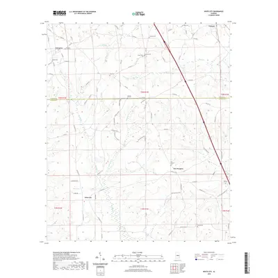 2020 White City2020 Print · USGSCovers Autauga County, including Enterprise, Verbena, and other nearby areas
 - 2020 Map of Lowndesboro, 2020 Print
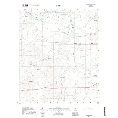 2020 Lowndesboro2020 Print · USGSCovers Autauga County, including Lowndesboro, Manack, and other nearby areas
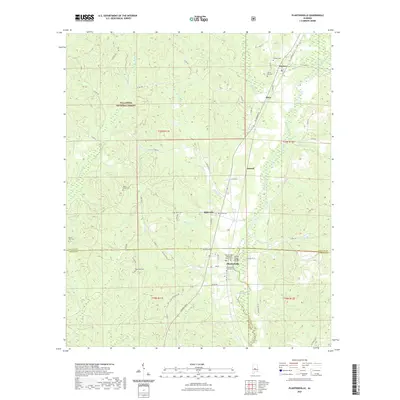
 - 2020 Map of Marbury, 2020 Print
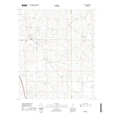 2020 Marbury2020 Print · USGSCovers Autauga County, including Marbury, Mountain Creek, and other nearby areas
 - 2020 Map of Jones, 2020 Print
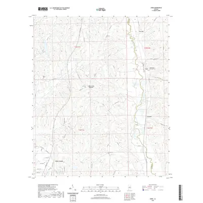 2020 Jones2020 Print · USGSCovers Autauga County, including Valley Grande, Fremont, and other nearby areas
 - 2020 Map of Durant Bend, 2020 Print
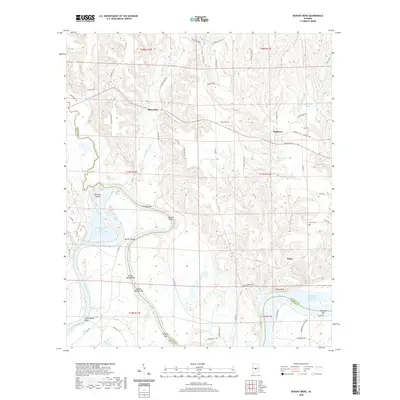 2020 Durant Bend2020 Print · USGSCovers Autauga County, including Statesville, Mulberry, and other nearby areas
 - 2021 Map of Plantersville, 2021 Print
 2021 Plantersville2021 Print · USGSCovers Autauga County, including Riderville, Dixie, and other nearby areas
 - 2024 Map of Billingsley, 2024 Print
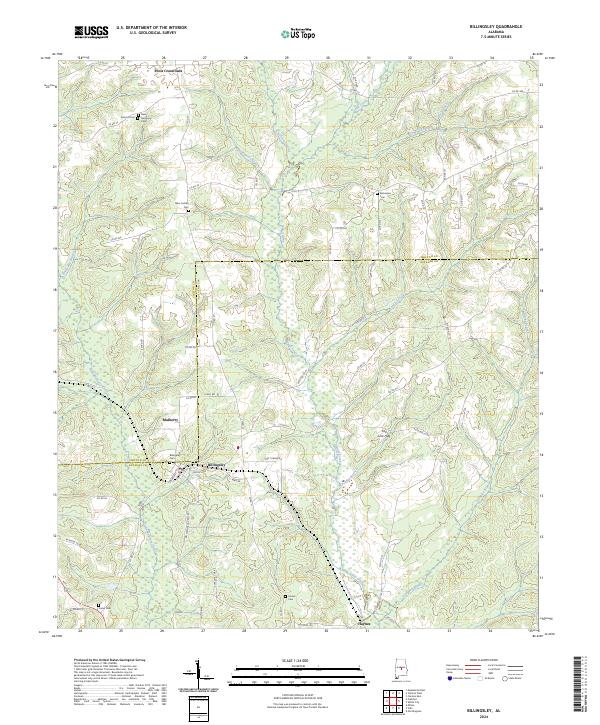 2024 Billingsley2024 Print · USGSAutauga and Chilton Counties are captured here during a period of modern rural stability along the transition of the Fall Line Hills. Researchers can trace old family burial sites and rural communities like Pools Crossroads, Billingsley, and New Cedron Cem.
 - 2024 Map of Old Kingston, 2024 Print
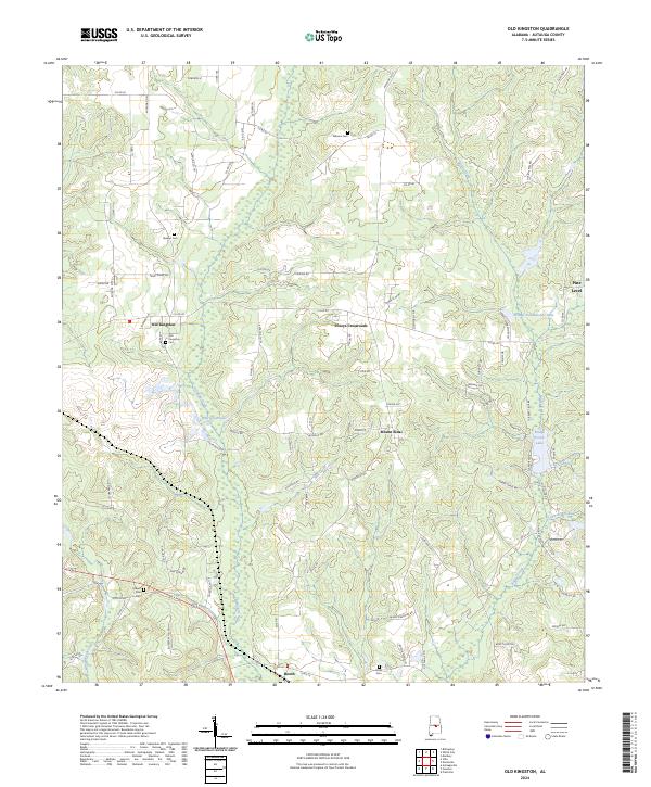 2024 Old Kingston2024 Print · USGSAutauga County, Alabama, is documented here in the modern era, showing the enduring rural character of its historic communities. Genealogists can locate family-named sites like Stewart Cem or Wilsons Cem and trace the paths through Old Kingston and Poseys Crossroads.
 - 2024 Map of White City, 2024 Print
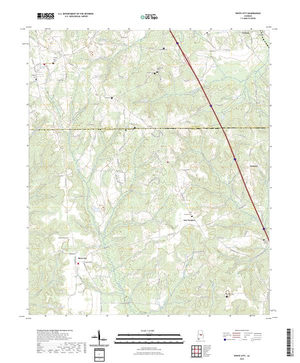 2024 White City2024 Print · USGSAutauga and Chilton counties are shown here in modern detail, capturing the rural character of this Alabama landscape. Genealogists can trace family locations through numerous sites like New Prospect Cem, White City, and Sunny Hill Cem.
 - 2024 Map of Burnsville, 2024 Print
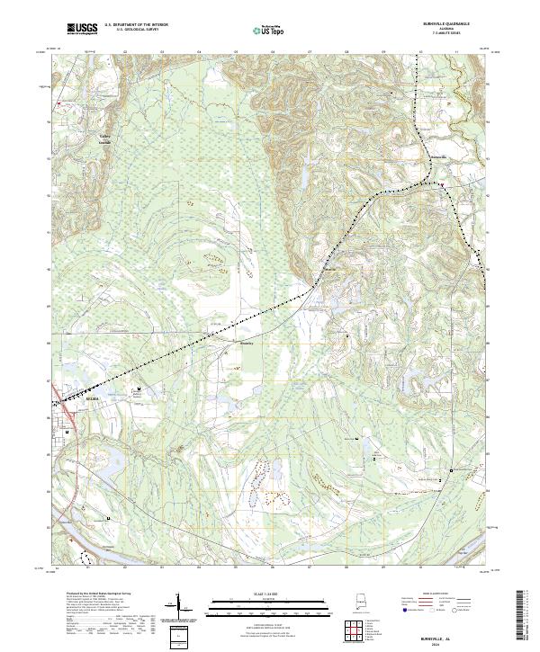 2024 Burnsville2024 Print · USGSThe eastern outskirts of Selma meet the winding Alabama River in this contemporary 2024 survey. Local history researchers can trace the locations of numerous family and church burial sites, including DuBose Family Cem, Saint Luke Cem, and New Everdale Cem.
 - 2024 Map of Vida, 2024 Print
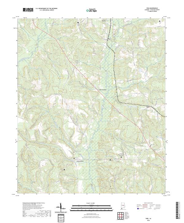 2024 Vida2024 Print · USGSAutauga County's rural communities are meticulously documented in this modern survey of the Alabama interior. Researchers can trace family history through a concentration of local landmarks like Bethesda Baptist Cem, Vida Junction, and the Friendship Missionary Baptist Church Cem.
 - 2024 Map of Marbury, 2024 Print
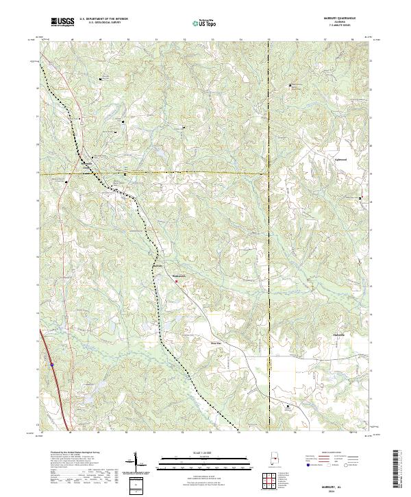 2024 Marbury2024 Print · USGSThe rural borders of Chilton and Autauga Counties come into sharp focus in this detailed topographic study. Genealogists can trace family heritage through numerous rural sites such as Mountain Creek Cem, Lightwood, and Marbury Baptist Church Cem.
Showing maps 1-25 of 38
Top cities of Autauga County
- Prattville historical maps
- Pine Level historical maps
- Marbury historical maps
- Autaugaville historical maps
- Billingsley historical maps
Frequently asked questions
- What are the different types of historical maps available for Autauga County?
- What is the oldest map of Autauga County?
- Where can I purchase historical maps of Autauga County for my home or office?
- Where can I download high-res historical maps of Autauga County?
- Are there historical topographic maps available for Autauga County?
- Is there historical aerial imagery available for Autauga County?
- Where are historical maps of Autauga County sourced from?