Old Maps of Mount Sinai, Alabama for Genealogy
Trace your family roots with 14 historic maps of Mount Sinai. These high-res maps reveal old neighborhoods, homesites, landmarks, and streets — helping you uncover where your ancestors lived and how the area evolved over time.
- Explore historic neighborhoods: Identify where your relatives may have lived in the 1800s or 1900s.
- Compare maps over time: Trace the changes in streets, buildings, and landmarks for multi-generational research.
- Perfect for genealogy & ancestry research: Used by family historians and researchers to map out lineage and migration.
These maps are an incredible resource for exploring your personal connection to Mount Sinai's past.
Mount Sinai, AL maps
(14)- 1891 Map of Clanton
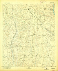 1891 Clanton1891 Print · USGSChilton and Autauga counties are shown here in the 1890s, when the river-and-rail economy defined Central Alabama. Genealogists and historians can trace the foundations of Clanton and rural landmarks like Big Spring Church, Adam's Ferry, and Ousley Store.5 unique versions available
 - 1953 Map of Montgomery, 1964 Print
 1953 Montgomery1964 Print · USGSCentral Alabama's river-and-rail corridor is mapped here in the mid-fifties, showing the vital connections between the capital and the Black Belt. Genealogists and historians can trace rail depots and crossroads from Marion Junction to Wetumpka, alongside landmarks like Craig AFB.4 unique versions available
 - 1956 Map of Montgomery
 1956 Montgomery1956 Print · USGSCentral Alabama in the mid-1950s shows a landscape defined by its great river systems and a booming military aviation presence. Genealogists and historians can trace the rail corridors of the Southern Railway and locate tactical bases like Maxwell AFB and Craig AFB.
 - 1957 Map of Montgomery
 1957 Montgomery1957 Print · USGSCentral Alabama in the mid-fifties is defined by the winding Alabama River and a strategic network of military bases and rail lines. Trace family roots in Montgomery and Selma, or locate landmarks like Craig AFB and the State Capitol before the interstate era.
 - 1959 Map of Billingsley, 1960 Print
 1959 Billingsley1960 Print · USGSBillingsley and the surrounding Alabama countryside are captured here in the late fifties as a landscape of rural crossroads and rail-side settlements. Researchers can trace the Gulf and Ohio rail line to find Old Kingston, Vida Junction, and Locust Bluff Sch.3 unique versions available
 - 1975 Map of Billingsley SE, 1977 Print
 1975 Billingsley SE1977 Print · USGSAutauga County's rural landscape is revealed in this mid-seventies aerial survey, showing the area's transition between forest and farm. Researchers can trace the layout of the settlement at Booth and follow the natural course of Bridge Creek.
 - 1986 Map of Clanton
 1986 Clanton1986 Print · USGSCentral Alabama’s river-driven landscape is captured here in the mid-eighties, centered on the growth of Clanton and the hydroelectric lakes of the Coosa River. Genealogists and historians can trace the Old Indian Treaty Boundary or locate landmarks like Sykes Mill and Collins Chapel.
 - 1987 Map of Old Kingston
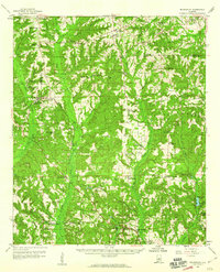
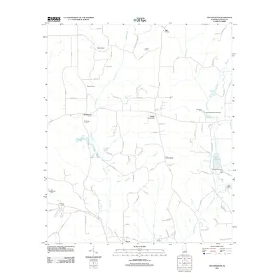
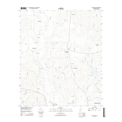
 1987 Old Kingston1987 Print · USGSAutauga County in the late eighties remains a landscape of quiet crossroads and winding waterways like Autauga Creek. Researchers can trace old family locales and rural landmarks including Old Kingston, Poseys Crossroads, and Mt Sinai.
 - 1987 Map of Clanton, 1990 Print
 1987 Clanton1990 Print · USGSCentral Alabama in the late eighties reveals a landscape of massive river reservoirs and forest reserves. Trace the rail-and-road corridors through Clanton and Wetumpka to find historic sites like Fort Toulouse and Collins Chapel.
 - 2011 Map of Old Kingston, 2011 Print
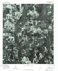
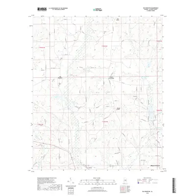
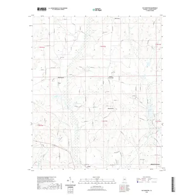
 2011 Old Kingston2011 Print · USGSCovers Mount Sinai, including Prattville, Booth, and other nearby areas
 - 2014 Map of Old Kingston, 2014 Print
 2014 Old Kingston2014 Print · USGSCovers Mount Sinai, including Prattville, Booth, and other nearby areas
 - 2018 Map of Old Kingston, 2018 Print
 2018 Old Kingston2018 Print · USGSCovers Mount Sinai, including Prattville, Booth, and other nearby areas
 - 2020 Map of Old Kingston, 2020 Print
 2020 Old Kingston2020 Print · USGSCovers Mount Sinai, including Prattville, Booth, and other nearby areas
 - 2024 Map of Old Kingston, 2024 Print
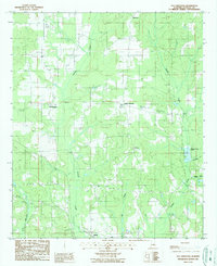
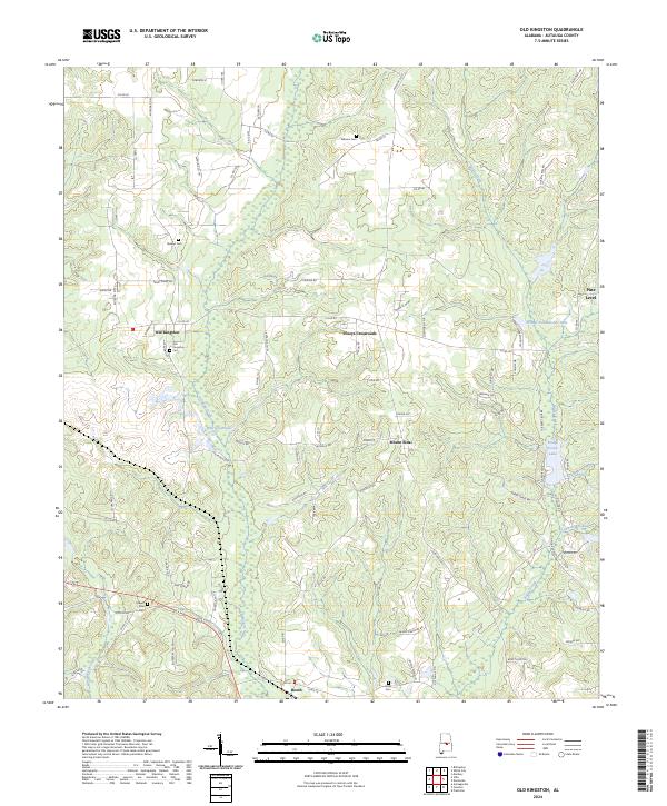 2024 Old Kingston2024 Print · USGSAutauga County, Alabama, is documented here in the modern era, showing the enduring rural character of its historic communities. Genealogists can locate family-named sites like Stewart Cem or Wilsons Cem and trace the paths through Old Kingston and Poseys Crossroads.
End of results
Showing maps 1-14 of 14
Top cities near Mount Sinai
- Montgomery historical maps
- Prattville historical maps
- Millbrook historical maps
- Holtville historical maps
- Pine Level historical maps
- Deatsville historical maps
See more
Frequently asked questions
- What are the different types of historical maps available for Mount Sinai?
- What is the oldest map of Mount Sinai?
- Where can I purchase historical maps of Mount Sinai for my home or office?
- Where can I download high-res historical maps of Mount Sinai?
- Are there historical topographic maps available for Mount Sinai?
- Is there historical aerial imagery available for Mount Sinai?
- Where are historical maps of Mount Sinai sourced from?