2020s Maps of Eufaula, Alabama
Explore 14 historic maps of Eufaula from the 2020s. These maps offer a rare glimpse into what life looked like during the 2020s — showing old roads, neighborhoods, homes, and landmarks that have changed or disappeared over time.
Whether you're researching your family's past, planning a metal detecting trip, or studying how Eufaula's landscape evolved across the 2020s, these high-resolution maps are a powerful tool for exploring the history of this region.
- Focus on a specific era: All maps on this page are from the 2020s, giving you a focused view of this time period.
- See what’s changed: Compare century-old streets, trails, and buildings to today's modern landscape using overlays and satellite layers.
- Research with precision: Use these maps for genealogy, historical research, land use analysis, or educational projects.
- View, download, or print: Maps are fully viewable online in high resolution, and can be downloaded or printed for your own records.
Start exploring Eufaula's history through authentic maps from the 2020s. This is your window into the past.
Eufaula, AL maps
(14)- 2020 Map of Georgetown, 2020 Print
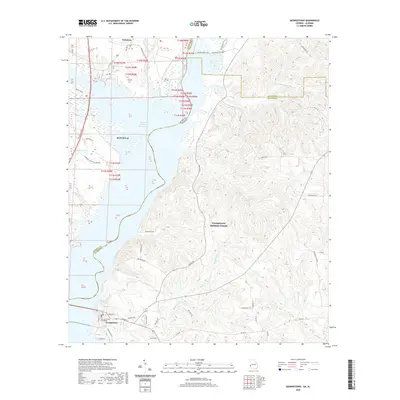 2020 Georgetown2020 Print · USGSCovers Eufaula, including Georgetown, Wylaunee, and other nearby areas
 - 2020 Map of White Oak, 2020 Print
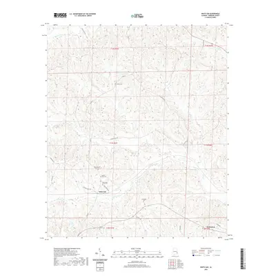 2020 White Oak2020 Print · USGSCovers Eufaula, including White Oak, Barbour County, and other nearby areas
 - 2020 Map of Baker Hill, 2020 Print
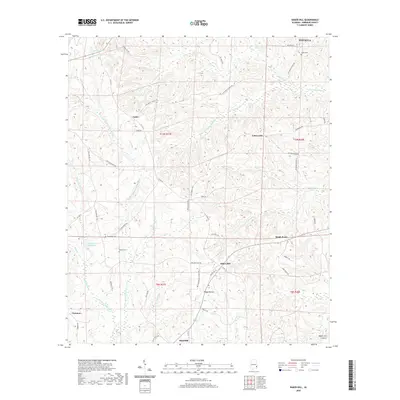 2020 Baker Hill2020 Print · USGSCovers Eufaula, including Bakerhill, Oateston, and other nearby areas
 - 2020 Map of Eufaula North, 2020 Print
 2020 Eufaula North2020 Print · USGSCovers Eufaula, including Georgetown, Hoboken, and other nearby areas
 - 2020 Map of Eufaula South, 2020 Print
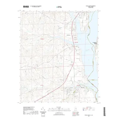 2020 Eufaula South2020 Print · USGSCovers Eufaula, including Terese, White Oak, and other nearby areas
 - 2020 Map of Twin Springs, 2020 Print
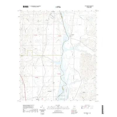 2020 Twin Springs2020 Print · USGSCovers Eufaula, including Florence, Coffinton, and other nearby areas
 - 2020 Map of Howe, 2020 Print
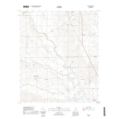 2020 Howe2020 Print · USGSCovers Eufaula, including Howe, Hawkinsville, and other nearby areas
 - 2024 Map of Howe, 2024 Print
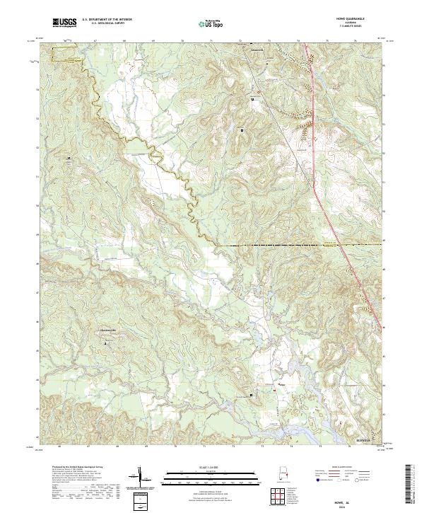 2024 Howe2024 Print · USGSBarbour and Russell counties in the modern era remain a land of quiet crossroads and winding creeks. Genealogists can trace family heritage through numerous rural burial sites like Glennville Cem and Jones Cem or explore the protected lands of the Eufaula National Wildlife Refuge.
 - 2024 Map of Twin Springs, 2024 Print
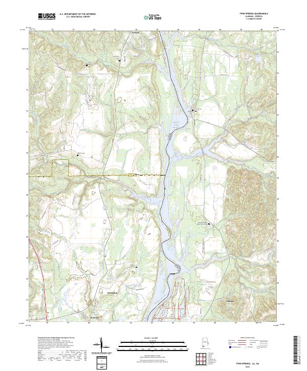 2024 Twin Springs2024 Print · USGSThe Alabama-Georgia borderlands along the Chattahoochee River are shown in 2024 as a blend of conservation lands and rural hamlets. Researchers can trace historic burial sites like Old Zion Hill Cem and the riverfront terrain around Wylaunee and Coffinton.
 - 2024 Map of Baker Hill, 2024 Print
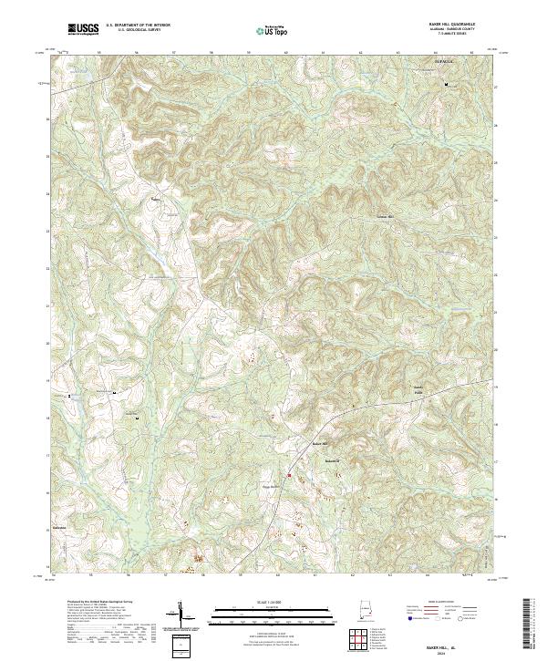 2024 Baker Hill2024 Print · USGSSoutheastern Barbour County's rural townships and the distinct Baker Hill Cuesta are documented in this recent survey. Local historians and genealogists can trace family footprints through historic sites like Sardis Cem, Bakerhill, and Oateston.
 - 2024 Map of White Oak, 2024 Print
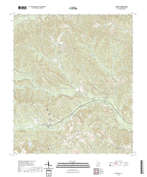 2024 White Oak2024 Print · USGSBarbour County settlement patterns and family heritage come into focus in this recent survey of the Alabama countryside. Researchers can trace local genealogy through several named burial sites including Academy Cem, Cunningham Cem, and Mount Serene Cem.
 - 2024 Map of Eufaula North, 2024 Print
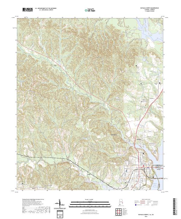 2024 Eufaula North2024 Print · USGSBarbour County life and the Chattahoochee riverfront come into focus in this contemporary survey of the Eufaula area. Researchers can trace family history through sites like Fairview Cem, McGee Cem, and the Barbour - Eufaula County Courthouse.
 - 2024 Map of Eufaula South, 2024 Print
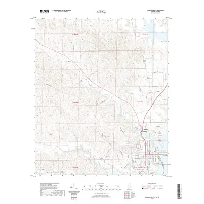
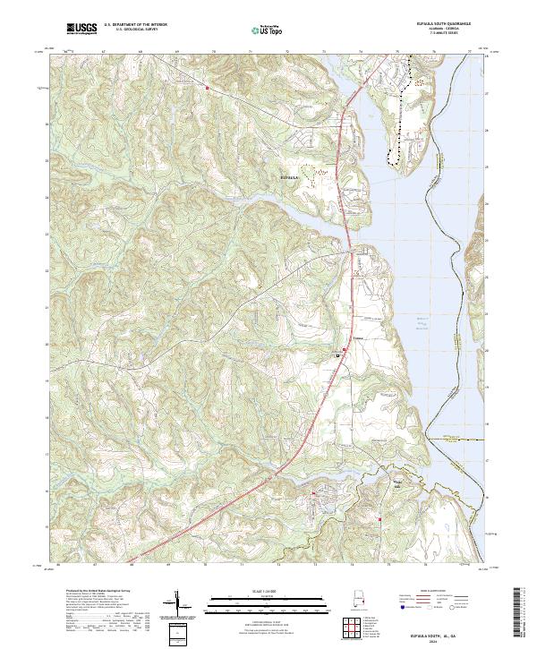 2024 Eufaula South2024 Print · USGSThe Eufaula riverfront and the Alabama-Georgia border come into focus in this contemporary survey of the Chattahoochee valley. Researchers can trace the shoreline of the Walter F George Reservoir or locate inland sites like Terese and the Sardis Cem.
 - 2024 Map of Georgetown, 2024 Print
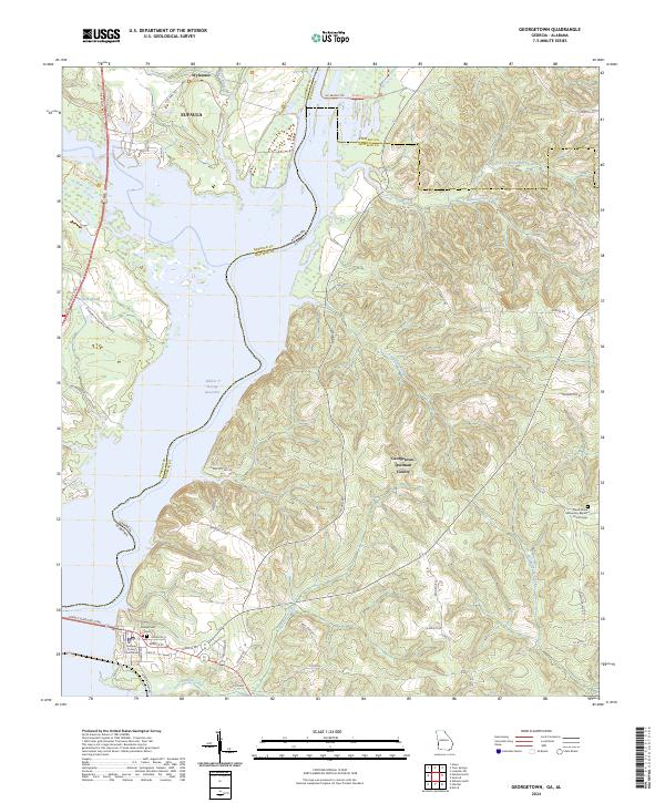 2024 Georgetown2024 Print · USGSGeorgetown and the surrounding river valley are shown here in the contemporary era, dominated by the reservoir. Researchers can trace the local street grid around the Quitman County Courthouse or locate the Green-Grove Missionary Baptist Church Cem and Georgetown Cem.
End of results
Showing maps 1-14 of 14
Top cities near Eufaula
Top neighborhoods of Eufaula
- Hoboken historical maps
- Terese historical maps
- Osco historical maps
- Wylaunee historical maps
- Tullis historical maps
Frequently asked questions
- What are the different types of historical maps available for Eufaula?
- What is the oldest map of Eufaula?
- Where can I purchase historical maps of Eufaula for my home or office?
- Where can I download high-res historical maps of Eufaula?
- Are there historical topographic maps available for Eufaula?
- Is there historical aerial imagery available for Eufaula?
- Where are historical maps of Eufaula sourced from?