Old Maps of Eufaula, Alabama for Genealogy
Trace your family roots with 50 historic maps of Eufaula. These high-res maps reveal old neighborhoods, homesites, landmarks, and streets — helping you uncover where your ancestors lived and how the area evolved over time.
- Explore historic neighborhoods: Identify where your relatives may have lived in the 1800s or 1900s.
- Compare maps over time: Trace the changes in streets, buildings, and landmarks for multi-generational research.
- Perfect for genealogy & ancestry research: Used by family historians and researchers to map out lineage and migration.
These maps are an incredible resource for exploring your personal connection to Eufaula's past.
Eufaula, AL maps
(50)- 1953 Map of Dothan, 1966 Print
 1953 Dothan1966 Print · USGSSoutheast Alabama and Southwest Georgia are captured during a period of massive hydraulic and military expansion in the mid-fifties. Genealogists and historians can trace rural landmarks like Antioch Church and School, the Andrew Jackson Monument, and the early footprint of Fort Rucker Military Reservation.3 unique versions available
 - 1954 Map of Dothan
 1954 Dothan1954 Print · USGSSoutheast Alabama and Southwest Georgia are seen here in the mid-fifties, during a decade of military expansion and rural transition. Genealogists can trace the location of country schools like Little Zion School or the grounds of Kolomoki Mounds State Park.
 - 1955 Map of Dothan
 1955 Dothan1955 Print · USGSSoutheast Alabama and Southwest Georgia are captured here in the mid-fifties, showing a landscape of river-port history and growing military bases. Researchers can trace rural life via the Andrew Jackson Monument, Bauxite mines, and the Central of Georgia RR.
 - 1955 Map of Phenix City, 1964 Print
 1955 Phenix City1964 Print · USGSPost-war Alabama and Georgia meet along the Chattahoochee River as industry and military installations expand. Trace the rail lines of the Central of Georgia through towns like Opelika, Tuskegee, and Alexander City.3 unique versions available
 - 1957 Map of Phenix City
 1957 Phenix City1957 Print · USGSThe Alabama-Georgia borderlands are captured here in the mid-fifties, centered on the bustling river crossing at Phenix City and Columbus. Researchers can trace the mid-century footprint of the Fort Benning Military Reservation or locate smaller textile and railroad towns like Langdale and Camp Hill.
 - 1958 Map of Phenix City
 1958 Phenix City1958 Print · USGSThe Alabama-Georgia borderlands thrive during the late fifties, anchored by the river-driven industry of Columbus and Phenix City. Researchers can trace the mid-century footprints of Fort Benning, Auburn, and the textile towns of Fairfax and Lanett.
 - 1967 Map of Georgetown, 1970 Print
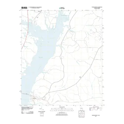
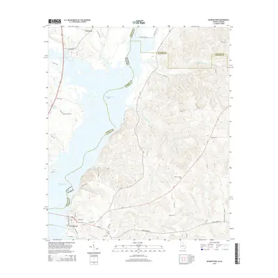
 1967 Georgetown1970 Print · USGSThe Quitman County shoreline underwent a dramatic shift in the late sixties as the Chattahoochee River valley was reshaped by new reservoirs. Researchers can trace the submerged geography near Georgetown and locate rural landmarks like Keglar Sch or Bumbleton Courthouse Cem.2 unique versions available
 - 1968 Map of Eufaula North, 1970 Print
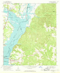
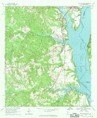
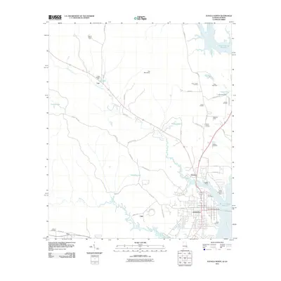
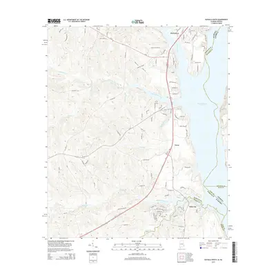
 1968 Eufaula North1970 Print · USGSThe Alabama-Georgia borderlands near Eufaula are captured here in the late sixties, just as the reservoir reshaped the riverfront. Researchers can trace family roots at St James Ch, Shorter Cem, and the historic rail corridor of the Central of Georgia.2 unique versions available
 - 1968 Map of Baker Hill, 1970 Print
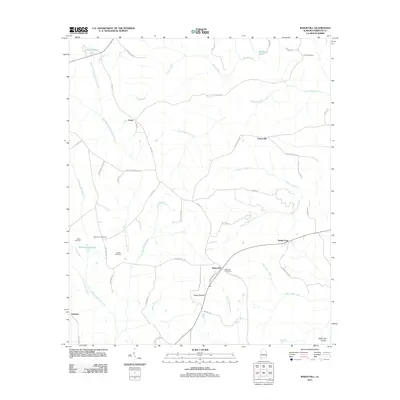
 1968 Baker Hill1970 Print · USGSSoutheast Alabama in the late sixties reveals a landscape shaped by historical lines and rural tradition. Genealogists and historians can trace the Old Indian Treaty Boundary while locating community landmarks like Rocky Mount Ch, Peggy Bottom, and St Pauls Ch.
 - 1968 Map of White Oak, 1970 Print
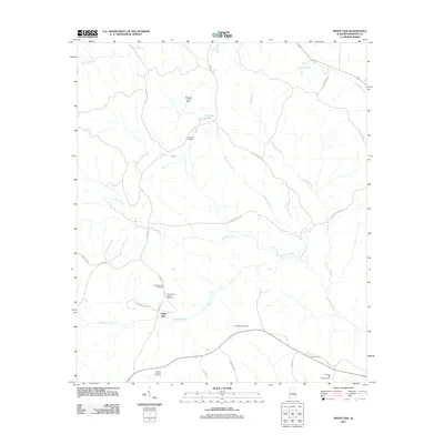
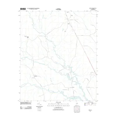
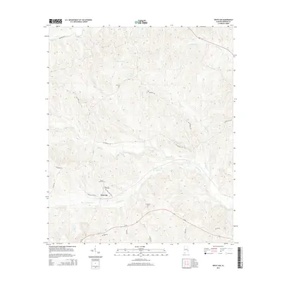
 1968 White Oak1970 Print · USGSBarbour County's rural heartland is captured here in the late 1960s. Genealogists can trace family roots through sites like the Perkins-Evans Cem, Wyecott Plantation, and Palmyra Ch along the Central of Georgia rail line.
 - 1968 Map of Eufaula South, 1970 Print
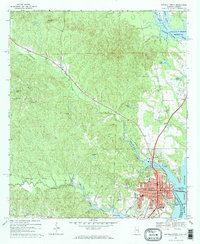
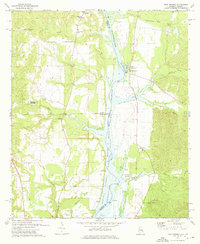
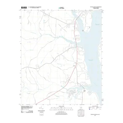
 1968 Eufaula South1970 Print · USGSNear the Alabama-Georgia border in the late sixties, the landscape around the reservoir reveals a mix of river industry and deep-rooted rural life. Genealogists and local historians can trace the Old Indian Treaty Bdy and locate landmarks like Bluff City Sch and Epworth Ch.2 unique versions available
 - 1973 Map of Twin Springs, 1976 Print
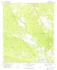
 1973 Twin Springs1976 Print · USGSThe Alabama-Georgia borderlands are captured here in the early seventies as the reservoir waters reshaped the river valley. Genealogists can trace family roots through sites like Jernigan Ch Cem, Twin Springs, and the McClendon Cem.2 unique versions available
 - 1973 Map of Howe, 1976 Print
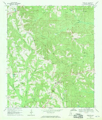
 1973 Howe1976 Print · USGSThe Russell and Barbour county line in the early 1970s is a landscape of creek-bottom lowlands and rural crossroads. Researchers can trace family history through numerous landmarks like Glenville, Tennell Chapel Cem, and the Middle Fork Cowikee Creek.2 unique versions available
 - 1981 Map of Troy, 1982 Print
 1981 Troy1982 Print · USGSThe Chattahoochee River valley and the wiregrass region of Alabama come alive in the early eighties as the Walter F George Reservoir reshapes the eastern border. Genealogists can trace family roots through historic railroad towns like Brundidge and Louisville or explore the rural surroundings of Blue Springs State Park.
 - 1981 Map of Tuskegee, 1982 Print
 1981 Tuskegee1982 Print · USGSMacon and Bullock counties are captured here in the early eighties, showcasing a landscape deeply tied to the railroad and the legacies of Tuskegee Institute. Researchers can locate specific sites from Moton Field to rural settlements along the Seaboard Coast Line like Hurtsboro and Pittsview.2 unique versions available
 - 2011 Map of Twin Springs, 2011 Print
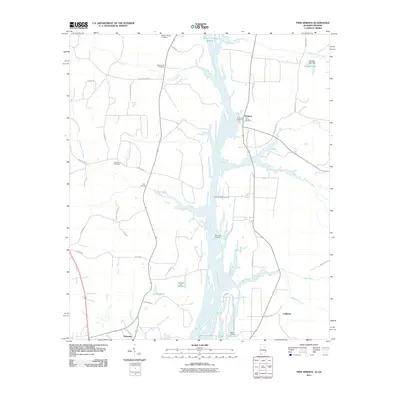 2011 Twin Springs2011 Print · USGSCovers Eufaula, including Florence, Coffinton, and other nearby areas2 unique versions available
 - 2011 Map of Georgetown, 2011 Print
 2011 Georgetown2011 Print · USGSCovers Eufaula, including Georgetown, Wylaunee, and other nearby areas
 - 2011 Map of Eufaula South, 2011 Print
 2011 Eufaula South2011 Print · USGSCovers Eufaula, including Terese, White Oak, and other nearby areas2 unique versions available
 - 2011 Map of Eufaula North, 2011 Print
 2011 Eufaula North2011 Print · USGSCovers Eufaula, including Georgetown, Hoboken, and other nearby areas2 unique versions available
 - 2011 Map of White Oak, 2011 Print
 2011 White Oak2011 Print · USGSCovers Eufaula, including White Oak, Barbour County, and other nearby areas
 - 2011 Map of Baker Hill, 2011 Print
 2011 Baker Hill2011 Print · USGSCovers Eufaula, including Bakerhill, Oateston, and other nearby areas
 - 2011 Map of Howe, 2011 Print
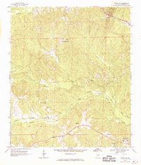
 2011 Howe2011 Print · USGSCovers Eufaula, including Howe, Hawkinsville, and other nearby areas
 - 2014 Map of Georgetown, 2014 Print
 2014 Georgetown2014 Print · USGSCovers Eufaula, including Georgetown, Wylaunee, and other nearby areas
 - 2014 Map of Eufaula South, 2014 Print
 2014 Eufaula South2014 Print · USGSCovers Eufaula, including Terese, White Oak, and other nearby areas
 - 2014 Map of White Oak, 2014 Print
 2014 White Oak2014 Print · USGSCovers Eufaula, including White Oak, Barbour County, and other nearby areas
Showing maps 1-25 of 50
Top cities near Eufaula
Top neighborhoods of Eufaula
- Hoboken historical maps
- Terese historical maps
- Osco historical maps
- Wylaunee historical maps
- Tullis historical maps
Frequently asked questions
- What are the different types of historical maps available for Eufaula?
- What is the oldest map of Eufaula?
- Where can I purchase historical maps of Eufaula for my home or office?
- Where can I download high-res historical maps of Eufaula?
- Are there historical topographic maps available for Eufaula?
- Is there historical aerial imagery available for Eufaula?
- Where are historical maps of Eufaula sourced from?