Old Maps of Hendrix, Alabama for Genealogy
Trace your family roots with 18 historic maps of Hendrix. These high-res maps reveal old neighborhoods, homesites, landmarks, and streets — helping you uncover where your ancestors lived and how the area evolved over time.
- Explore historic neighborhoods: Identify where your relatives may have lived in the 1800s or 1900s.
- Compare maps over time: Trace the changes in streets, buildings, and landmarks for multi-generational research.
- Perfect for genealogy & ancestry research: Used by family historians and researchers to map out lineage and migration.
These maps are an incredible resource for exploring your personal connection to Hendrix's past.
Hendrix, AL maps
(18)- 1885 Map of Gadsden
 1885 Gadsden1885 Print · USGSNortheast Alabama in the mid-1880s was a landscape of river-side landings and emerging rail towns. Genealogists and historians can trace the early foundations of Guntersville and Gadsden while locating rural landmarks like Hillian Store, Cottonville, and Law Landing.
 - 1888 Map of Gadsden
 1888 Gadsden1888 Print · USGSNorth Alabama's river valleys and plateau lands are captured here in the late nineteenth century as the region transitioned from river landings to rail transport. Researchers can locate early post offices and commerce centers like Hillian's Store, Guntersville, and the ferry at Ft Deposit.
 - 1892 Map of Gadsden
 1892 Gadsden1892 Print · USGSNorth Alabama's river-and-rail economy is captured here in the late nineteenth century as Guntersville and Gadsden emerge as regional hubs. Genealogists and historians can trace the routes of the Birmingham Mineral R. R. or locate old community centers like Cottonville and Mt Zion.
 - 1895 Map of Gadsden
 1895 Gadsden1895 Print · USGSNortheast Alabama at the close of the century was a landscape of river landings and mountain gaps where the Tennessee River met growing rail hubs. Genealogists can trace family holdings near Hillian Store, Cottonville, and the remote heights of Lookout Mountain.
 - 1903 Map of Gadsden
 1903 Gadsden1903 Print · USGSNorthern Alabama in the late nineteenth century centers on the busy Tennessee River corridor and its surrounding ridges. Trace old family sites and transport hubs like Hillian Store, Lovelace Landing, and the Mt Zion church.4 unique versions available
 - 1956 Map of Gadsden, 1966 Print
 1956 Gadsden1966 Print · USGSNorth Alabama in the mid-1950s shows a region transformed by river engineering and federal industry. Genealogists and local historians can trace the development of the Tennessee Valley through the growth of Huntsville, the sprawling Redstone Arsenal, and the expansive Guntersville Lake.3 unique versions available
 - 1958 Map of Gadsden
 1958 Gadsden1958 Print · USGSNorth Alabama comes alive in the late 1950s as the Tennessee Valley Authority’s massive river projects and the rise of the space industry reshaped the landscape. Researchers can trace the mid-century footprints of Huntsville, Redstone Arsenal, and the riverside rail networks of the Southern railroad.
 - 1958 Map of Susan Moore, 1960 Print
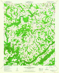 1958 Susan Moore1960 Print · USGSBlount County in the late fifties shows a rural Alabama landscape defined by the winding Locust Fork. Researchers can trace old family sites near Snead Crossroads, locate the Royal Sch, or find ancestral plots at Mt Moriah Cem and Brown Cem.3 unique versions available
 - 1960 Map of Gadsden
 1960 Gadsden1960 Print · USGSNorthern Alabama in the mid-1950s is defined by the mighty Tennessee River and its massive reservoirs. Trace the development of Huntsville and Redstone Arsenal or explore the vast William B Bankhead National Forest.2 unique versions available
 - 1963 Map of Gadsden
 1963 Gadsden1963 Print · USGSNorthern Alabama underwent a dramatic mid-century transformation as the Tennessee Valley became a hub for defense and industry. Researchers can trace the development of the Redstone Arsenal, the route of the Natchez Trace Parkway, and long-standing rail lines like the Southern Railway.
 - 1975 Map of Susan Moore, 1977 Print
 1975 Susan Moore1977 Print · USGSBlount County land patterns are captured in detail in the mid-1970s, showing the transition between family farms and woodland. Researchers can pinpoint specific homesteads and road networks around Susan Moore, Snead Crossroads, and Hendrix.2 unique versions available
 - 1984 Map of Guntersville, 1985 Print
 1984 Guntersville1985 Print · USGSNorthern Alabama at the start of the eighties shows a landscape shaped by massive TVA impoundments and a robust rail network. Genealogists and historians can trace family land across Brindley Mountain or near old rail stops on the Louisville and Nashville RR and Southern Ry.2 unique versions available
 - 2011 Map of Clarence, 2011 Print
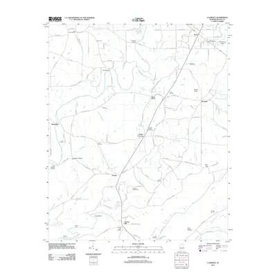 2011 Clarence2011 Print · USGSSnead and the communities of Blount County are captured here in the early twenty-first century, showing a landscape shaped by the Locust Fork. Trace local roots through many named cemeteries like Gibbs Chapel or explore landmarks like Hortons Mill and the Kenneth Wright Dam.
 - 2014 Map of Clarence, 2014 Print
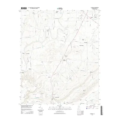 2014 Clarence2014 Print · USGSBlount County at the start of the 2010s remains a landscape of high ridges and winding river bends. Local researchers can trace family landmarks and historical crossings like Horton Mill Bridge, Gibbs Chapel Cem, and Sprayberry Bend.
 - 2018 Map of Clarence, 2018 Print
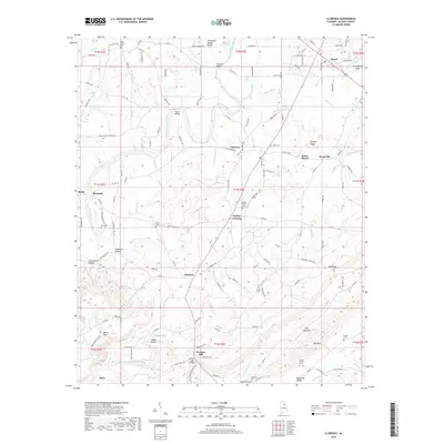 2018 Clarence2018 Print · USGSSnead and the rural Blount County landscape are documented here in the late 2010s, centered on the deep bends of the Locust Fork. Researchers can locate several historic burial sites like Gibbs Chapel Cem or trace river crossings at Hortons Mill and Wards Bridge.
 - 2020 Map of Clarence, 2020 Print
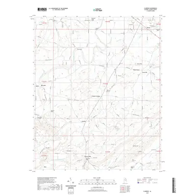 2020 Clarence2020 Print · USGSNorth Alabama's ridges and valleys are mapped here at the start of the 2020s, centered on the community of Susan Moore. Genealogists can trace family landmarks like Hortons Mill, Stracener Bridge, and rural cemeteries including Gibbs Chapel Cem and Painter Cem.
 - 2024 Map of Clarence, 2024 Print
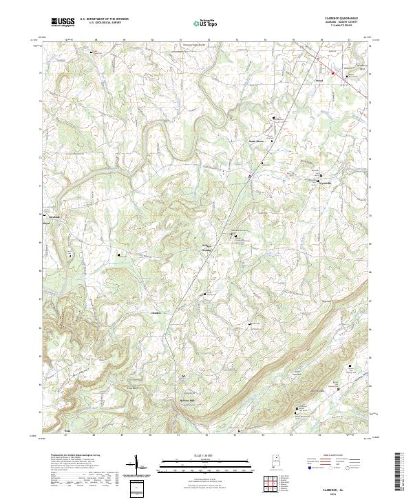 2024 Clarence2024 Print · USGSBlount County, Alabama, is documented here in a modern survey that reveals the deep-rooted rural settlement patterns of the Appalachian foothills. Genealogists and local historians can locate numerous family burial sites such as Lamb Cem, Painter Cem, and the community of Fridays Crossing.
 - 2026 Map of Clarence, 2026 Print
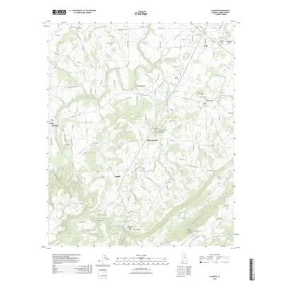 2026 Clarence2026 Print · USGSCovers Hendrix, including Snead, Susan Moore, and other nearby areas
End of results
Showing maps 1-18 of 18
Top cities near Hendrix
- Albertville historical maps
- Oneonta historical maps
- Springville historical maps
- Ashville historical maps
- Blountsville historical maps
- Hayden historical maps
See more
Frequently asked questions
- What are the different types of historical maps available for Hendrix?
- What is the oldest map of Hendrix?
- Where can I purchase historical maps of Hendrix for my home or office?
- Where can I download high-res historical maps of Hendrix?
- Are there historical topographic maps available for Hendrix?
- Is there historical aerial imagery available for Hendrix?
- Where are historical maps of Hendrix sourced from?