Old Maps of Hobson City, Alabama for Genealogy
Trace your family roots with 30 historic maps of Hobson City. These high-res maps reveal old neighborhoods, homesites, landmarks, and streets — helping you uncover where your ancestors lived and how the area evolved over time.
- Explore historic neighborhoods: Identify where your relatives may have lived in the 1800s or 1900s.
- Compare maps over time: Trace the changes in streets, buildings, and landmarks for multi-generational research.
- Perfect for genealogy & ancestry research: Used by family historians and researchers to map out lineage and migration.
These maps are an incredible resource for exploring your personal connection to Hobson City's past.
Hobson City, AL maps
(30)- 1900 Map of Anniston
 1900 Anniston1900 Print · USGSNortheast Alabama thrived as a railroad and industrial crossroads at the turn of the century. Genealogists and researchers can trace family landmarks and early transport hubs from the Coosa River to Anniston, including Salt Creek Church and Fowler Ferry.6 unique versions available
 - 1947 Map of Oxford, 1953 Print
 1947 Oxford1953 Print · USGSThe Choccolocco Creek valley in the late 1940s shows the growth of Oxford and Hobson City near the foothills. Researchers can trace local landmarks like Oxford Lake, Trinity Ch, and the old Southern railroad line.2 unique versions available
 - 1947 Map of Anniston, 1953 Print
 1947 Anniston1953 Print · USGSAnniston and the surrounding Calhoun County hills appear here in the immediate post-war period as the city and military grounds expanded. Researchers can trace the layout of the Fort Mc Clellan Military Reservation, locate the Prisoner of War Camp, and find local landmarks like Thankful Schools.2 unique versions available
 - 1947 Map of Munford, 1953 Print
 1947 Munford1953 Print · USGSTalladega and Calhoun counties appear here in the late 1940s, showing a landscape defined by the intersection of military industrial sites and rural rail towns. Researchers can trace the old paths of the Louisville and Nashville railroad through Jenifer and locate schools like Sweet Home Sch.2 unique versions available
 - 1950 Map of Anniston, 1953 Print
 1950 Anniston1953 Print · USGSAnniston and its surrounding military installations dominate this mid-century Alabama survey during a period of significant regional growth. Researchers can trace the footprints of Fort McClellan, locate rural centers like Bynum and Munford, and find old local landmarks such as Wayside Community Ch and Oxford Lake.2 unique versions available
 - 1953 Map of Atlanta, 1965 Print
 1953 Atlanta1965 Print · USGSThe growing Atlanta metro and the industrial corridors of Eastern Alabama are captured here during the mid-century transition. Researchers can trace the rail-to-road shift through hubs like Anniston and La Grange or locate sites within Fort McClellan.2 unique versions available
 - 1956 Map of Munford, 1960 Print
 1956 Munford1960 Print · USGSTalladega County life in the mid-1950s centered on the rail corridors and small rural crossroads between the mountains and the national forest. Genealogists and historians can trace family locations near Munford, Jenifer, and Bynum, or locate local landmarks like Antioch Cem and Sweet Home Sch.4 unique versions available
 - 1956 Map of Oxford, 1960 Print
 1956 Oxford1960 Print · USGSOxford and Hobson City were expanding into the Alabama valley during the mid-fifties as the national forest remained a wild southern anchor. Genealogists can trace family footprints through numerous rural landmarks like Salt Creek Cem, Friendship Sch, and the County Training Sch.3 unique versions available
 - 1956 Map of Anniston, 1960 Print
 1956 Anniston1960 Print · USGSAnniston and the sprawling grounds of Fort Mc Clellan are captured here during the mid-fifties, showing the city's urban core and military expansion. Researchers can trace local landmarks like Edgemont Cemetery, the National Guard Armory, and the historic Weaver Cave.3 unique versions available
 - 1957 Map of Atlanta
 1957 Atlanta1957 Print · USGSAtlanta and the Alabama borderlands appear here in the mid-fifties, capturing the region's post-war suburban and industrial transition. Trace the development of early transport hubs and military sites like Fort McPherson, Anniston, and the Kennesaw Mountain National Battlefield Park.
 - 1958 Map of Atlanta
 1958 Atlanta1958 Print · USGSMid-century Georgia and Alabama are shown in this regional study of the corridor between the Chattahoochee River and the Appalachian foothills. Local historians can trace the development of suburban Atlanta alongside vital landmarks like Stone Mountain, Dobbins AFB, and the Seaboard Air Line rail routes.
 - 1975 Map of Oxford, 1977 Print
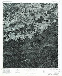 1975 Oxford1977 Print · USGSCalhoun County's transition from city to forest is captured in the mid-seventies just as the corridor between Anniston and Trinity was expanding. Genealogists and historians can trace the precise 1975 land use and the path of Choccolocco Creek.
 - 1981 Map of Anniston, 1982 Print
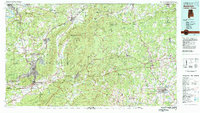 1981 Anniston1982 Print · USGSNortheast Alabama and the Georgia borderlands come alive in the early eighties, showing a landscape of heavy industry, military outposts, and mountain forests. Genealogists and historians can trace the development of towns like Anniston and Carrollton, or locate landmarks such as Whitesides Mill and Webster Chapel.2 unique versions available
 - 2001 Map of Munford, 2004 Print
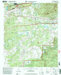 2001 Munford2004 Print · USGSThe borderlands of Calhoun and Talladega counties are shown here at the turn of the millennium, where the Talladega National Forest meets industrial centers. Local researchers can trace family sites like Sweet Home Sch, Halls Grove Ch, and the community of Jenifer.
 - 2001 Map of Oxford, 2004 Print
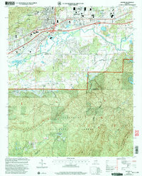 2001 Oxford2004 Print · USGSThe northern industrial corridor of Oxford and Anniston meets the deep woods of the National Forest at the turn of the millennium. Genealogists can trace local landmarks like Hobson City, the County Training Sch, and Antioch Ch.
 - 2011 Map of Anniston, 2011 Print
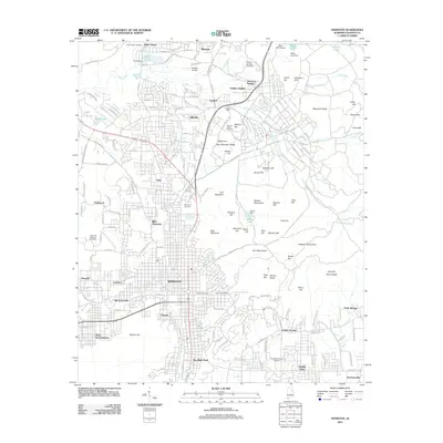 2011 Anniston2011 Print · USGSAnniston and its surrounding hills are captured in the early 2010s, showing a transition from industrial roots to modern residential growth. Genealogists and historians can trace numerous burial sites including Prisoner of War Cemetery and Highland Cemetery.
 - 2011 Map of Oxford, 2011 Print
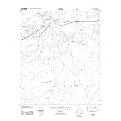 2011 Oxford2011 Print · USGSOxford and Hobson City sit at the edge of the Alabama mountains during this modern period of expansion. Genealogists and historians can locate family burial sites at Oxford Memorial Gardens Cemetery or trace the early aviation history of the Anniston-Calhoun County Airport.
 - 2011 Map of Munford, 2011 Print
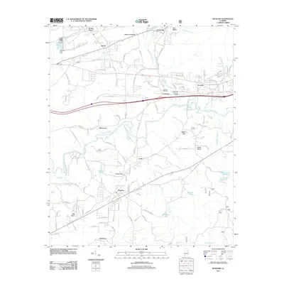 2011 Munford2011 Print · USGSTalladega County at the start of the twenty-first century reveals a landscape of enduring rural communities and historic creek-side settlements. Researchers can trace local heritage through sites like the Coldwater Covered Bridge, Antioch Cemetery, and the community of Munford.
 - 2014 Map of Anniston, 2014 Print
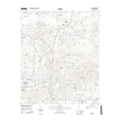 2014 Anniston2014 Print · USGSAnniston and its surrounding ridges are documented in detail during the early 21st century. Researchers can trace local history through named cemeteries and neighborhoods like Hobson City, the Prisoner of War Cem, and Blue Mountain.
 - 2014 Map of Munford, 2014 Print
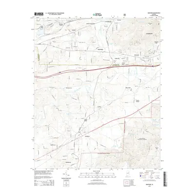 2014 Munford2014 Print · USGSOxford and its surrounding Talladega County settlements appear here during a period of modern growth and forest conservation. Researchers can locate local landmarks like the Coldwater Covered Bridge or trace family roots at Antioch Cem and the village of Munford.
 - 2014 Map of Oxford, 2014 Print
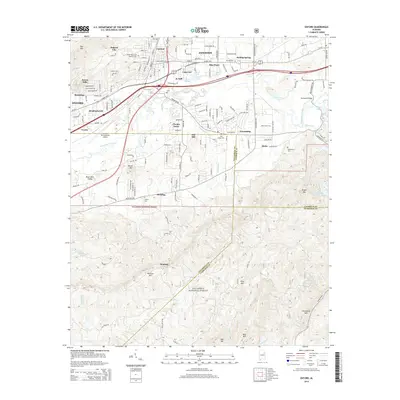 2014 Oxford2014 Print · USGSOxford and Anniston are captured at a point of modern growth where they meet the deep woods of the South. Genealogists and hikers can trace old landmarks like Bethlehem Cem and Antioch Cem or explore the rugged reaches of Horseblock Mtn and Blue Mtn.
 - 2018 Map of Oxford, 2018 Print
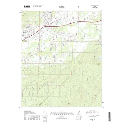 2018 Oxford2018 Print · USGSOxford and Hobson City appear at a modern intersection of industry and forest in this 2018 survey. Researchers can locate community landmarks like Anniston Regional Airport, historic cemeteries such as Antioch Cem, and the winding Pinhoti NRT trail through the mountains.
 - 2018 Map of Anniston, 2018 Print
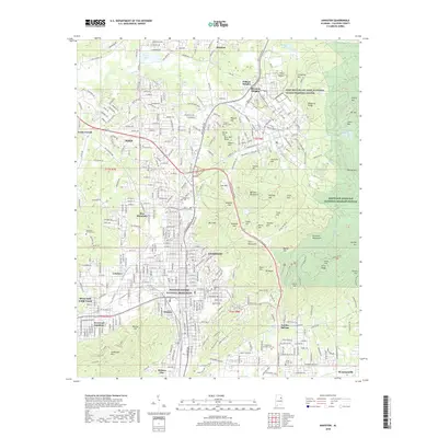 2018 Anniston2018 Print · USGSAnniston and its surrounding hill country are captured here at a time of modern growth and historical preservation. Genealogists and historians can trace the bounds of Hobson City, locate the Prisoner of War Cem, and see the footprint of the Freedom Riders National Monument.
 - 2018 Map of Munford, 2018 Print
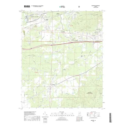 2018 Munford2018 Print · USGSOxford and Munford sit at the edge of the Talladega National Forest in the late 2010s. Trace the local geography around the Anniston Army Depot and find historic sites like the Coldwater Covered Bridge and Shiloh Cem.
 - 2020 Map of Anniston, 2020 Print
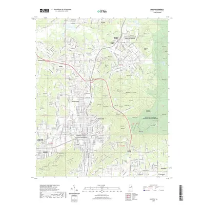 2020 Anniston2020 Print · USGSAnniston and its surrounding communities are captured here during a period of modern growth and historical preservation. Genealogists and local historians can trace the development of Saks and Oxford while locating significant sites like the Prisoner of War Cem and Freedom Riders National Monument.
Showing maps 1-25 of 30
Top cities near Hobson City
- Oxford historical maps
- Anniston historical maps
- Talladega historical maps
- Jacksonville historical maps
- Saks historical maps
- Lincoln historical maps
See more
Frequently asked questions
- What are the different types of historical maps available for Hobson City?
- What is the oldest map of Hobson City?
- Where can I purchase historical maps of Hobson City for my home or office?
- Where can I download high-res historical maps of Hobson City?
- Are there historical topographic maps available for Hobson City?
- Is there historical aerial imagery available for Hobson City?
- Where are historical maps of Hobson City sourced from?