2000s (21st Century) Maps of Chambers County, Alabama
Explore 85 historic maps of Chambers County from the 2000s (21st Century). These maps offer a rare glimpse into what life looked like during the 2000s — showing old roads, neighborhoods, homes, and landmarks that have changed or disappeared over time.
Whether you're researching your family's past, planning a metal detecting trip, or studying how Chambers County's landscape evolved across the 2000s, these high-resolution maps are a powerful tool for exploring the history of this region.
- Focus on a specific era: All maps on this page are from the 2000s, giving you a focused view of this time period.
- See what’s changed: Compare century-old streets, trails, and buildings to today's modern landscape using overlays and satellite layers.
- Research with precision: Use these maps for genealogy, historical research, land use analysis, or educational projects.
- View, download, or print: Maps are fully viewable online in high resolution, and can be downloaded or printed for your own records.
Start exploring Chambers County's history through authentic maps from the 2000s. This is your window into the past.
Chambers County, AL maps
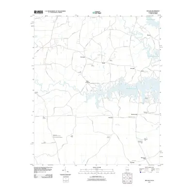
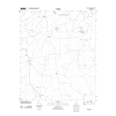
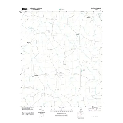
(85)- 2011 Map of Whitesville, 2011 Print
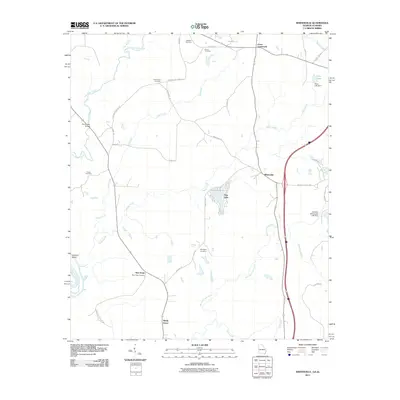 2011 Whitesville2011 Print · USGSCovers Chambers County, including Pine Lake, Shady Grove, and other nearby areas
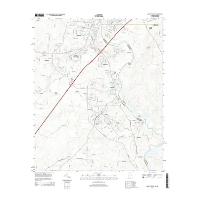
 - 2011 Map of Lanett North, 2011 Print
 2011 Lanett North2011 Print · USGSCovers Chambers County, including Lanett, West Point, and other nearby areas2 unique versions available
 - 2011 Map of Lanett South, 2011 Print
 2011 Lanett South2011 Print · USGSCovers Chambers County, including Valley, Lanett, and other nearby areas2 unique versions available
 - 2011 Map of Abbottsford, 2011 Print
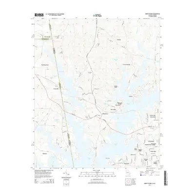
 2011 Abbottsford2011 Print · USGSCovers Chambers County, including Whitewater Woods, McCosh Mill, and other nearby areas
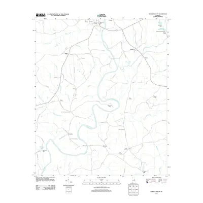
 - 2011 Map of Beulah, 2011 Print
 2011 Beulah2011 Print · USGSCovers Chambers County, including Valley, Blanton, and other nearby areas2 unique versions available
 - 2011 Map of Five Points, 2011 Print
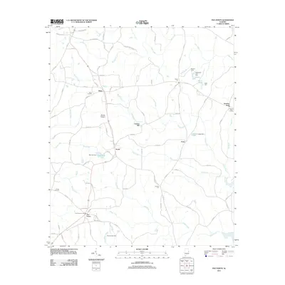 2011 Five Points2011 Print · USGSCovers Chambers County, including Roanoke, Five Points, and other nearby areas
 - 2011 Map of Camp Hill SE, 2011 Print
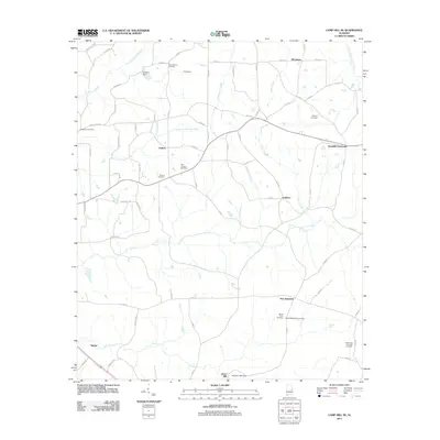 2011 Camp Hill SE2011 Print · USGSCovers Chambers County, including Spinks, New Harmony, and other nearby areas
 - 2011 Map of Waverly, 2011 Print
 2011 Waverly2011 Print · USGSCovers Chambers County, including Auburn, Waverly, and other nearby areas
 - 2011 Map of Milltown, 2011 Print
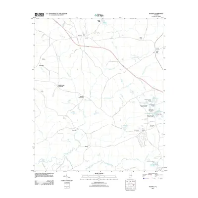
 2011 Milltown2011 Print · USGSCovers Chambers County, including Roanoke, Doublehead, and other nearby areas
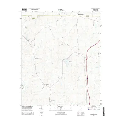
 - 2011 Map of Moorefield, 2011 Print
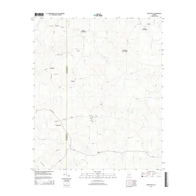
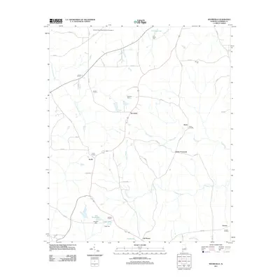 2011 Moorefield2011 Print · USGSCovers Chambers County, including Oak Bowery, Liberty Crossroads, and other nearby areas
 - 2011 Map of Fredonia, 2011 Print
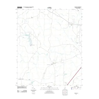
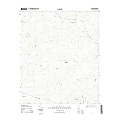
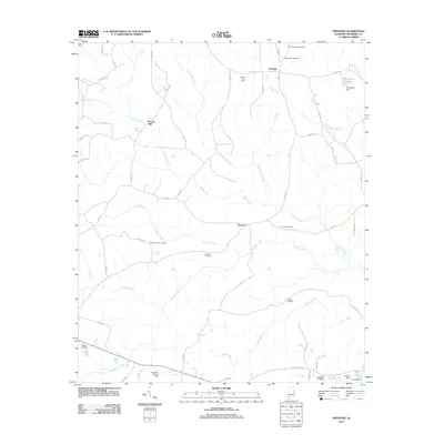 2011 Fredonia2011 Print · USGSCovers Chambers County, including LaFayette, Wards Mill, and other nearby areas
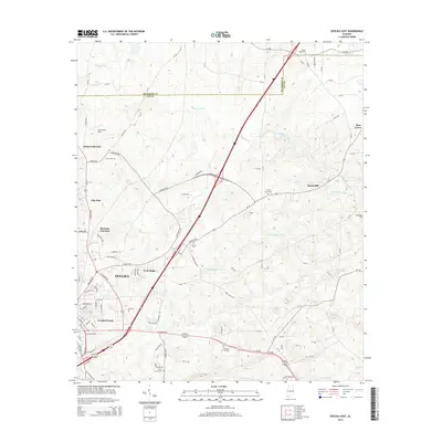
 - 2011 Map of Opelika East, 2011 Print
 2011 Opelika East2011 Print · USGSCovers Chambers County, including Opelika, Pine Grove, and other nearby areas
 - 2011 Map of Dudleyville, 2011 Print
 2011 Dudleyville2011 Print · USGSCovers Chambers County, including Tiller Crossroads, Foster Crossroads, and other nearby areas
 - 2011 Map of Lafayette, 2011 Print
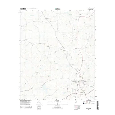
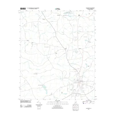 2011 Lafayette2011 Print · USGSCovers Chambers County, including LaFayette, Buffalo, and other nearby areas
 - 2011 Map of Wadley South, 2011 Print
 2011 Wadley South2011 Print · USGSCovers Chambers County, including Wadley, Daviston, and other nearby areas
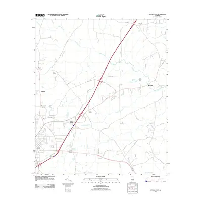
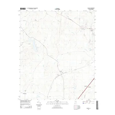
 - 2011 Map of Cusseta, 2011 Print
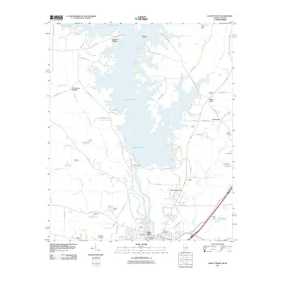
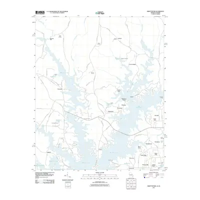
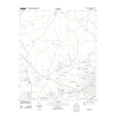
 2011 Cusseta2011 Print · USGSCovers Chambers County, including Valley, Lanett, and other nearby areas
 - 2011 Map of Opelika West, 2011 Print
 2011 Opelika West2011 Print · USGSCovers Chambers County, including Auburn, Opelika, and other nearby areas
 - 2014 Map of Abbottsford, 2014 Print
 2014 Abbottsford2014 Print · USGSCovers Chambers County, including Whitewater Woods, McCosh Mill, and other nearby areas
 - 2014 Map of Whitesville, 2014 Print
 2014 Whitesville2014 Print · USGSCovers Chambers County, including Pine Lake, Shady Grove, and other nearby areas
 - 2014 Map of Opelika East, 2014 Print
 2014 Opelika East2014 Print · USGSCovers Chambers County, including Opelika, Pine Grove, and other nearby areas
 - 2014 Map of Lanett South, 2014 Print
 2014 Lanett South2014 Print · USGSCovers Chambers County, including Valley, Lanett, and other nearby areas
 - 2014 Map of Dudleyville, 2014 Print
 2014 Dudleyville2014 Print · USGSCovers Chambers County, including Tiller Crossroads, Foster Crossroads, and other nearby areas
 - 2014 Map of Cusseta, 2014 Print
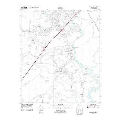
 2014 Cusseta2014 Print · USGSCovers Chambers County, including Valley, Lanett, and other nearby areas
 - 2014 Map of Fredonia, 2014 Print
 2014 Fredonia2014 Print · USGSCovers Chambers County, including LaFayette, Wards Mill, and other nearby areas
 - 2014 Map of Lafayette, 2014 Print
 2014 Lafayette2014 Print · USGSCovers Chambers County, including LaFayette, Buffalo, and other nearby areas
Showing maps 1-25 of 85
Top cities of Chambers County
- Valley historical maps
- Lanett historical maps
- LaFayette historical maps
- Huguley historical maps
- Cusseta historical maps
- Five Points historical maps
Frequently asked questions
- What are the different types of historical maps available for Chambers County?
- What is the oldest map of Chambers County?
- Where can I purchase historical maps of Chambers County for my home or office?
- Where can I download high-res historical maps of Chambers County?
- Are there historical topographic maps available for Chambers County?
- Is there historical aerial imagery available for Chambers County?
- Where are historical maps of Chambers County sourced from?