2020s Maps of Chambers County, Alabama
Explore 35 historic maps of Chambers County from the 2020s. These maps offer a rare glimpse into what life looked like during the 2020s — showing old roads, neighborhoods, homes, and landmarks that have changed or disappeared over time.
Whether you're researching your family's past, planning a metal detecting trip, or studying how Chambers County's landscape evolved across the 2020s, these high-resolution maps are a powerful tool for exploring the history of this region.
- Focus on a specific era: All maps on this page are from the 2020s, giving you a focused view of this time period.
- See what’s changed: Compare century-old streets, trails, and buildings to today's modern landscape using overlays and satellite layers.
- Research with precision: Use these maps for genealogy, historical research, land use analysis, or educational projects.
- View, download, or print: Maps are fully viewable online in high resolution, and can be downloaded or printed for your own records.
Start exploring Chambers County's history through authentic maps from the 2020s. This is your window into the past.
Chambers County, AL maps
(35)- 2020 Map of Abbottsford, 2020 Print
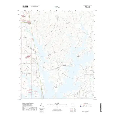 2020 Abbottsford2020 Print · USGSThe Georgia-Alabama state line and the expansive West Point Lake define this rural landscape. Genealogists and local historians can trace family roots at Garrett Family Cem, Whatley Cem, or the historical McCosh Mill site.
 - 2020 Map of Whitesville, 2020 Print
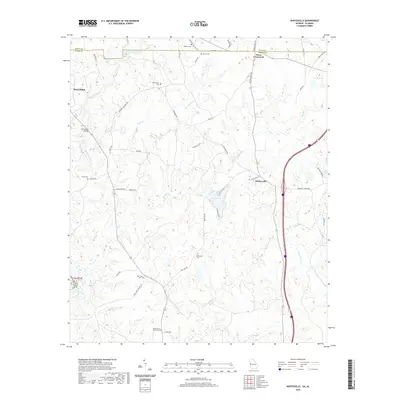 2020 Whitesville2020 Print · USGSHarris County at the start of the 2020s shows a landscape where quiet rural crossroads still define the community structure. Researchers can trace family history through numerous burial sites including Billingslea Cem, New Hope Cem, and the historic Whitesville settlement.
 - 2020 Map of Wadley South, 2020 Print
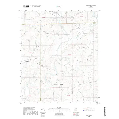 2020 Wadley South2020 Print · USGSEast Alabama's river-carved landscape comes into focus here, showing the rural communities of Randolph, Chambers, and Tallapoosa counties. Genealogists can trace family roots through numerous sites like Bibby Family Cem, Frog Eye, and Abanda.
 - 2020 Map of Milltown, 2020 Print
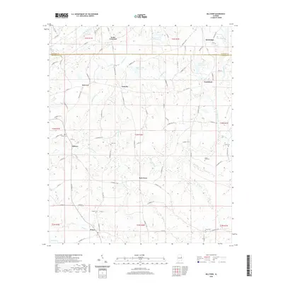 2020 Milltown2020 Print · USGSChambers and Randolph Counties are shown here at the start of the 2020s, featuring a landscape of rural crossroads and family settlements. Genealogists can locate numerous burial sites like Higgins Family Cem and Milltown Cem near the banks of Chikasanoxee Cr.
 - 2020 Map of Five Points, 2020 Print
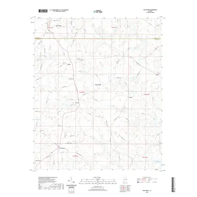 2020 Five Points2020 Print · USGSThe rural borderlands of Randolph and Chambers counties are documented here in the modern era, centering on the crossroads of Five Points and Stroud. Researchers can trace local heritage through sites like Cumbee Mill, Sky View Memorial Cem, and the community at Welch.
 - 2020 Map of Lafayette, 2020 Print
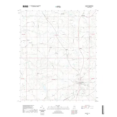 2020 Lafayette2020 Print · USGSLa Fayette and the surrounding Chambers County hill country are shown here in the early twenty-first century. Genealogists can locate numerous rural burial sites including Sandy Ridge Cem and Lebanon Cem, or trace the waters of Chatahospee Cr.
 - 2020 Map of Opelika West, 2020 Print
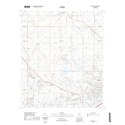 2020 Opelika West2020 Print · USGSAuburn and Opelika are shown here during a period of modern expansion in eastern Alabama. Genealogists and local historians can trace legacy sites like Oak Bowery Cem, Pepperell, and the distinctive location known as The Bottle.
 - 2020 Map of Camp Hill SE, 2020 Print
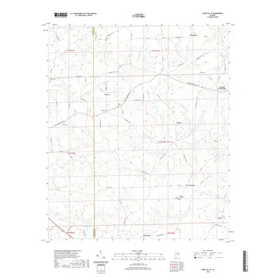 2020 Camp Hill SE2020 Print · USGSThe rural borderlands of Tallapoosa and Chambers counties are shown here in the contemporary era. Researchers can locate numerous family burial sites and small settlements like New Harmony, Judson, and the McCord Cem.
 - 2020 Map of Beulah, 2020 Print
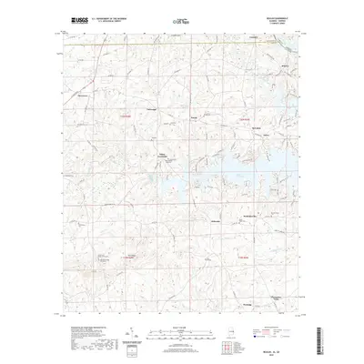 2020 Beulah2020 Print · USGSEast Alabama and the Georgia border are mapped here during the modern era, centered on the expansive waters of Bartletts Ferry Lake. Researchers can trace rural lineages through numerous local sites like Beulah Cem, Mechanicsville, and Pitts Chapel Cem.
 - 2020 Map of Lanett North, 2020 Print
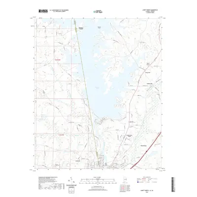 2020 Lanett North2020 Print · USGSThe Alabama-Georgia borderlands near Lanett and West Point are shown here in the 2020s, dominated by the massive reach of West Point Lake. Genealogists and local historians can locate many family landmarks and burial sites, including Lovelace Cem, Pinewood Cem, and the church at Long Cane.
 - 2020 Map of Fredonia, 2020 Print
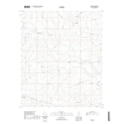 2020 Fredonia2020 Print · USGSChambers County in the early twenty-first century reveals a landscape still defined by its traditional rural settlements and family landmarks. Researchers can locate several historic burial sites like Emory Chapel Cem and trace the paths of Oseligee Cr or the old Wards Mill.
 - 2020 Map of Moorefield, 2020 Print
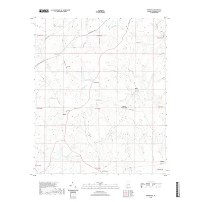 2020 Moorefield2020 Print · USGSChambers County continues to be defined by its historic crossroads and rural family settlements in the early twenty-first century. Genealogists and local historians can trace legacy sites like Sturkie Cem, Oak Bowery, and Liberty Crossroads.
 - 2020 Map of Waverly, 2020 Print
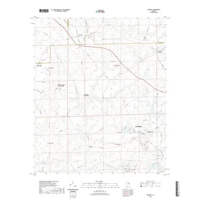 2020 Waverly2020 Print · USGSThe rural stretches of Lee and Chambers counties are captured here in the early twenty-first century as modern Auburn begins to meet traditional crossroads. Researchers can trace family history through several local landmarks including Waverly Cem, Gold Hill Cem, and the Maddox Family Cem.
 - 2020 Map of Cusseta, 2020 Print
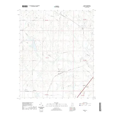 2020 Cusseta2020 Print · USGSChambers County in the early twenty-first century shows a landscape where historic rural settlements meet growing municipalities. Genealogists and historians can trace family locations through sites like Cusseta Cem, Robertson Cem, and the community of Tuckersburg.
 - 2020 Map of Dudleyville, 2020 Print
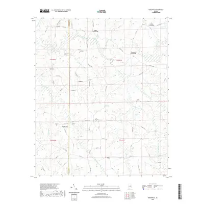 2020 Dudleyville2020 Print · USGSThe crossroads and rural communities along the Chambers and Tallapoosa county line are shown here in modern detail. Genealogists can locate several family burial grounds, including Sanders Cem, Waites Cem, and County Line Cem.
 - 2020 Map of Opelika East, 2020 Print
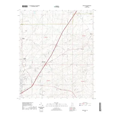 2020 Opelika East2020 Print · USGSOpelika and the rural reaches of Lee County are shown here in recent years as the area continues to grow along its historic corridors. Researchers can trace the heritage of local families and communities through Beans Mill, Roanoke Junction, and Sweet Hope Cemetery.
 - 2020 Map of Lanett South, 2020 Print
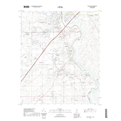 2020 Lanett South2020 Print · USGSThe industrial corridor along the Alabama-Georgia border comes alive in this contemporary record of the Chattahoochee River valley. Researchers can trace the development of mill villages like Langdale, Fairfax, and River View, while locating family markers at Shawmut Cem or Glass Cem.
 - 2024 Map of Fredonia, 2024 Print
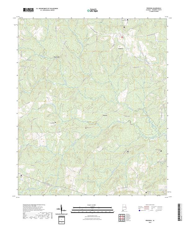 2024 Fredonia2024 Print · USGSChambers County continues its transition from a landscape of family mills to a modern rural network. Researchers can trace ancestral sites like the Wright Family Cem and Holstun Cem or locate the historic site of Wards Mill.
 - 2024 Map of Opelika West, 2024 Print
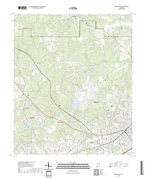 2024 Opelika West2024 Print · USGSLee and Chambers Counties in 2024 see the modern outskirts of Auburn and Opelika surrounding established rural communities. Researchers can trace historical sites like The Bottle and numerous cemeteries including Oak Bowery Cem and Union Hill Cem.
 - 2024 Map of Moorefield, 2024 Print
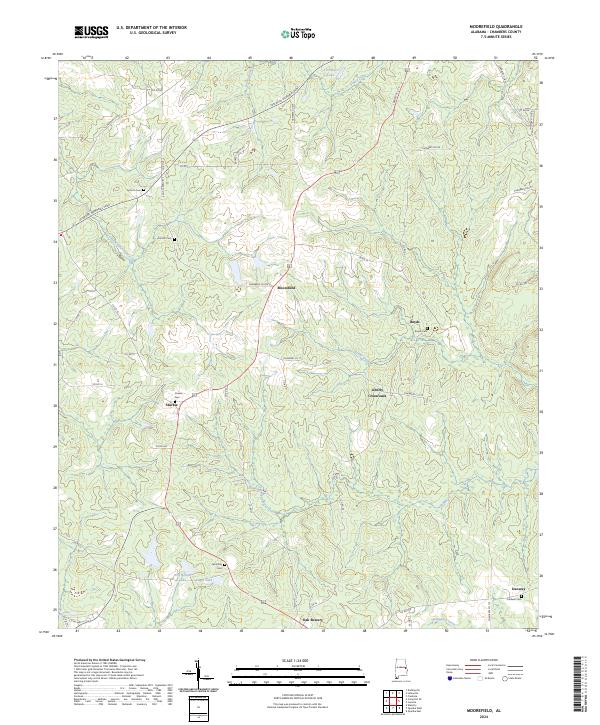 2024 Moorefield2024 Print · USGSChambers County settlements and rural crossroads are captured here in the early 2020s. Researchers can trace family roots through sites like Antioch Cem, Oak Bowery, and the historic junction at Liberty Crossroads.
 - 2024 Map of Camp Hill SE, 2024 Print
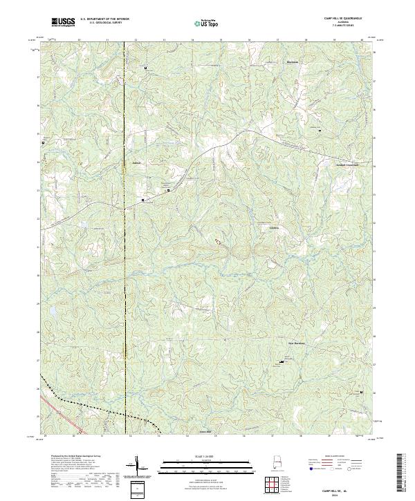 2024 Camp Hill SE2024 Print · USGSChambers and Tallapoosa counties in the current era maintain a quiet, rural character defined by old family crossroads and creek-side settlements. Genealogists can trace decades of local history through sites like New Canaan Baptist Chruch Cem, Kendall Crossroads, and Smith - Willoughby Cem.
 - 2024 Map of Waverly, 2024 Print
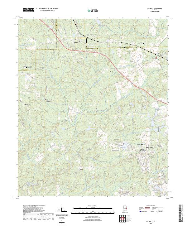 2024 Waverly2024 Print · USGSIn the rural borderlands of Chambers and Lee counties, this modern survey shows the enduring settlement patterns of central Alabama. Genealogists and historians can trace family ties through Waverly Cem, Gold Hill, and Middle Brooks Crossroads.
 - 2024 Map of Milltown, 2024 Print
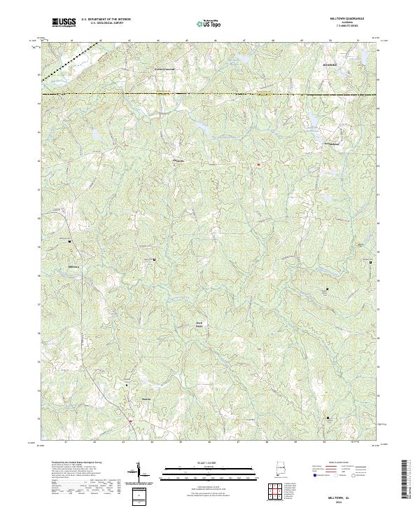 2024 Milltown2024 Print · USGSChambers County maintains its traditional rural layout in this recent survey of the Alabama-Georgia borderlands. Researchers can trace family sites at Milltown Cem and Chappell Cem or explore small historic hubs like Doublehead and Penton.
 - 2024 Map of Dudleyville, 2024 Print
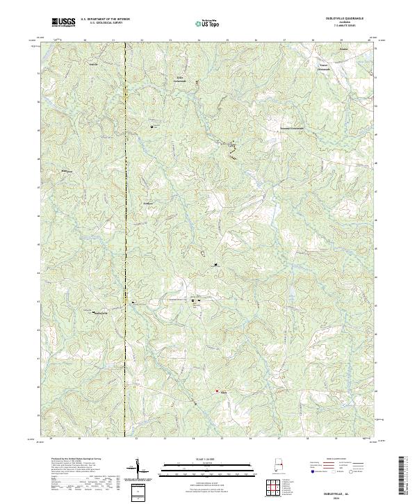 2024 Dudleyville2024 Print · USGSChambers and Tallapoosa Counties are seen here in the 2020s, preserving a rural landscape of crossroads and creek-side settlements. Genealogists can trace family landmarks like Waites Cem, New Harmony Cem, and the community at Dudleyville.
 - 2024 Map of Wadley South, 2024 Print
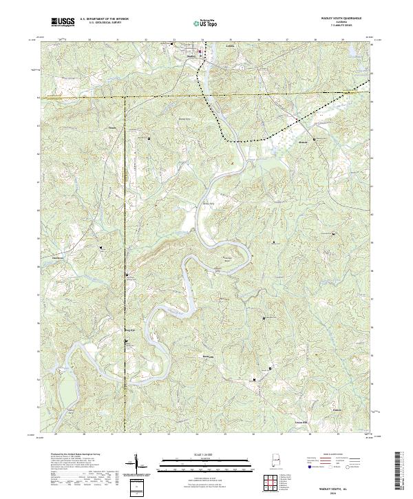 2024 Wadley South2024 Print · USGSEastern Alabama's river-driven geography is preserved here, showing the communities of Wadley and Frog Eye along the Tallapoosa River. Local historians can trace old river crossings at Bishop Ferry and Wait Ferry alongside several family-named cemeteries.
Showing maps 1-25 of 35
Top cities of Chambers County
- Valley historical maps
- Lanett historical maps
- LaFayette historical maps
- Huguley historical maps
- Cusseta historical maps
- Five Points historical maps
Frequently asked questions
- What are the different types of historical maps available for Chambers County?
- What is the oldest map of Chambers County?
- Where can I purchase historical maps of Chambers County for my home or office?
- Where can I download high-res historical maps of Chambers County?
- Are there historical topographic maps available for Chambers County?
- Is there historical aerial imagery available for Chambers County?
- Where are historical maps of Chambers County sourced from?