1900s (20th Century) Maps of Chambers County, Alabama
Explore 30 historic maps of Chambers County from the 1900s (20th Century). These maps offer a rare glimpse into what life looked like during the 1900s — showing old roads, neighborhoods, homes, and landmarks that have changed or disappeared over time.
Whether you're researching your family's past, planning a metal detecting trip, or studying how Chambers County's landscape evolved across the 1900s, these high-resolution maps are a powerful tool for exploring the history of this region.
- Focus on a specific era: All maps on this page are from the 1900s, giving you a focused view of this time period.
- See what’s changed: Compare century-old streets, trails, and buildings to today's modern landscape using overlays and satellite layers.
- Research with precision: Use these maps for genealogy, historical research, land use analysis, or educational projects.
- View, download, or print: Maps are fully viewable online in high resolution, and can be downloaded or printed for your own records.
Start exploring Chambers County's history through authentic maps from the 1900s. This is your window into the past.
Chambers County, AL maps
(30)- 1902 Map of Wedowee
 1902 Wedowee1902 Print · USGSThe Alabama and Georgia state line bisects this turn-of-the-century landscape of river crossings and hill-country settlements. Genealogists can trace early homesteads and commerce at Philpots Ferry, the Copper Mine, or the town of Wedowee.3 unique versions available
 - 1906 Map of Dadeville
 1906 Dadeville1906 Print · USGSThe Tallapoosa River valley is shown at the turn of the century, defined by its numerous river ferries and a burgeoning rail network. Genealogists can trace family roots through rural landmarks like Rocky Ridge Church, Mc Ritchie Mill, and the many river crossings including McCarty Ferry.3 unique versions available
 - 1907 Map of Opelika, 1963 Print
 1907 Opelika1963 Print · USGSEastern Alabama and western Georgia come alive in this early 1900s survey of the rail-and-river economy. Genealogists can trace family names at Mitchell Crossroads, find rural landmarks like the Poor Farm, and locate historic river crossings like Dixon Ferry.
 - 1909 Map of Opelika
 1909 Opelika1909 Print · USGSEastern Alabama and western Georgia are seen here in the first decade of the twentieth century as the river-and-rail economy reached its peak. Genealogists and historians can trace old river crossings like Blanton Ferry, rural post offices such as Antioch Church Huckabee P O, and the path of the Chattahoochee Valley railroad.4 unique versions available
 - 1953 Map of Atlanta, 1965 Print
 1953 Atlanta1965 Print · USGSThe growing Atlanta metro and the industrial corridors of Eastern Alabama are captured here during the mid-century transition. Researchers can trace the rail-to-road shift through hubs like Anniston and La Grange or locate sites within Fort McClellan.2 unique versions available
 - 1955 Map of Phenix City, 1964 Print
 1955 Phenix City1964 Print · USGSPost-war Alabama and Georgia meet along the Chattahoochee River as industry and military installations expand. Trace the rail lines of the Central of Georgia through towns like Opelika, Tuskegee, and Alexander City.3 unique versions available
 - 1957 Map of Phenix City
 1957 Phenix City1957 Print · USGSThe Alabama-Georgia borderlands are captured here in the mid-fifties, centered on the bustling river crossing at Phenix City and Columbus. Researchers can trace the mid-century footprint of the Fort Benning Military Reservation or locate smaller textile and railroad towns like Langdale and Camp Hill.
 - 1957 Map of Atlanta
 1957 Atlanta1957 Print · USGSAtlanta and the Alabama borderlands appear here in the mid-fifties, capturing the region's post-war suburban and industrial transition. Trace the development of early transport hubs and military sites like Fort McPherson, Anniston, and the Kennesaw Mountain National Battlefield Park.
 - 1958 Map of Phenix City
 1958 Phenix City1958 Print · USGSThe Alabama-Georgia borderlands thrive during the late fifties, anchored by the river-driven industry of Columbus and Phenix City. Researchers can trace the mid-century footprints of Fort Benning, Auburn, and the textile towns of Fairfax and Lanett.
 - 1958 Map of Atlanta
 1958 Atlanta1958 Print · USGSMid-century Georgia and Alabama are shown in this regional study of the corridor between the Chattahoochee River and the Appalachian foothills. Local historians can trace the development of suburban Atlanta alongside vital landmarks like Stone Mountain, Dobbins AFB, and the Seaboard Air Line rail routes.
 - 1964 Map of Whitesville, 1965 Print
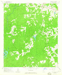 1964 Whitesville1965 Print · USGSThe Georgia-Alabama border along the Chattahoochee River comes to life in the mid-1960s. Researchers can trace rural lineages through family landmarks like Billingslea Cem, Jones Crossroads, and Flat Shoal Ch.3 unique versions available
 - 1964 Map of Lanett North, 1965 Print
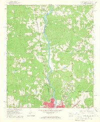 1964 Lanett North1965 Print · USGSThe industrial and civic heart of the Alabama-Georgia border comes into focus in this mid-sixties survey. Local historians can trace the development of Lanett and West Point through sites like Fort Tyler Cem, Harrison High Sch, and the Atlanta and West Point Railroad.4 unique versions available
 - 1964 Map of Abbottsford, 1966 Print
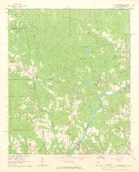 1964 Abbottsford1966 Print · USGSThe Alabama-Georgia state line in the mid-1960s was a landscape of river-valley communities and rural rail stops. You can trace family-named roads and historic crossings like the Covered Bridge, Glass Bridge, and the Atlantic Coast Line railroad.5 unique versions available
 - 1964 Map of Lanett South, 1966 Print
 1964 Lanett South1966 Print · USGSThe industrial corridor of the Chattahoochee Valley comes alive here in the mid-1960s, showing the tight-knit mill towns and rail networks of eastern Alabama. Researchers can trace the legacy of local families through Oak Wood Cem, Huguley Cem, and numerous country churches like Greenwood Ch.4 unique versions available
 - 1965 Map of Beulah, 1967 Print
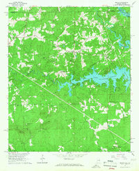 1965 Beulah1967 Print · USGSLee and Chambers counties meet along the Chattahoochee in the mid-1960s, showing a landscape shaped by the waters of Lake Harding. Researchers can locate a historic Covered Bridge, early rural churches like Liberty Ch, and the small community of Mechanicsville.2 unique versions available
 - 1968 Map of Five Points, 1973 Print
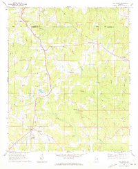 1968 Five Points1973 Print · USGSChambers County and Randolph County meet in the late sixties as the rail lines of the Central of Georgia and Seaboard Coast Line still define the local landscape. Researchers can locate vanished landmarks and rural crossroads like Standing Rock, Cumbee Mill, and Stroud.2 unique versions available
 - 1969 Map of Wadley South, 1973 Print
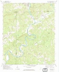 1969 Wadley South1973 Print · USGSThe Tallapoosa River valley in eastern Alabama was a region of remote crossroads and river bends in the late sixties. Genealogists and local historians can trace the foundations of communities like Frog Eye, Abanda, and the family-named Sims Cem or Bibbys Ferry.
 - 1969 Map of Milltown, 1973 Print
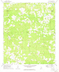 1969 Milltown1973 Print · USGSChambers County in the late sixties remains a landscape of quiet crossroads and rural parishes. Researchers can trace the exact locations of family homesteads near Milltown or explore the many country churches like New Harmony Ch and Antioch Ch.2 unique versions available
 - 1970 Map of Opelika East, 1973 Print
 1970 Opelika East1973 Print · USGSOpelika experienced significant industrial and educational growth in the early seventies, centered around its vital rail junctions. Researchers can trace the development of local schools like Darden High Sch and find family-named sites such as Scott Cem and Beans Mill.4 unique versions available
 - 1971 Map of Waverly
 1971 Waverly1971 Print · USGSThe intersection of Lee, Chambers, and Tallapoosa counties in the early 1970s shows a landscape of rail-linked communities and rural crossroads. Genealogists can trace family footprints near Waverly, Gold Hill, and historic churches like Mt Traveler Ch or Macon Spring Ch.2 unique versions available
 - 1971 Map of Cusseta, 1973 Print
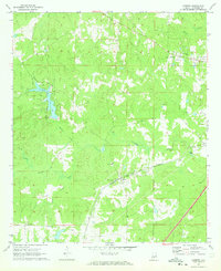 1971 Cusseta1973 Print · USGSCusseta and the hill country of Chambers County appear here in the early 1970s, as the landscape transitioned between traditional agriculture and modern recreation. Researchers can trace the Western Railway of Alabama corridor and locate local landmarks like the Cusseta Sch and Galilee Ch.3 unique versions available
 - 1971 Map of Moorefield, 1973 Print
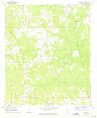 1971 Moorefield1973 Print · USGSChambers County in the early seventies remains a landscape of small crossroads settlements and rural congregations. Genealogists and historians can trace family locations near Sturkie, Oak Bowery, or churches like New Mt Sellers Ch and Antioch Ch.
 - 1971 Map of Lafayette, 1973 Print
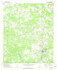 1971 Lafayette1973 Print · USGSThe county seat of Lafayette thrives in the early seventies, anchored by the Central of Georgia rail line and local industry. Researchers can trace rural community centers at Rock Springs Church, Marcoot, and the Batson Memorial Sanitarium.2 unique versions available
 - 1971 Map of Opelika West, 1973 Print
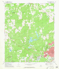 1971 Opelika West1973 Print · USGSThe growing communities of Opelika and Auburn meet in this 1970s portrait of Lee County's rail and water infrastructure. Researchers can trace historic family landmarks and local institutions like Oak Bowery Ch, The Bottle, and the Central of Georgia Railway.3 unique versions available
 - 1971 Map of Fredonia, 1973 Print
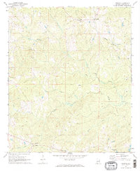 1971 Fredonia1973 Print · USGSChambers County in the early seventies shows a landscape of quiet crossroads and historic congregation sites. Researchers can trace family roots through Fredonia and Wards Mill or locate landmarks like Mt Zion Ch and the Lookout Tower.2 unique versions available
Showing maps 1-25 of 30
Top cities of Chambers County
- Valley historical maps
- Lanett historical maps
- LaFayette historical maps
- Huguley historical maps
- Cusseta historical maps
- Five Points historical maps
Frequently asked questions
- What are the different types of historical maps available for Chambers County?
- What is the oldest map of Chambers County?
- Where can I purchase historical maps of Chambers County for my home or office?
- Where can I download high-res historical maps of Chambers County?
- Are there historical topographic maps available for Chambers County?
- Is there historical aerial imagery available for Chambers County?
- Where are historical maps of Chambers County sourced from?