2000s (21st Century) Maps of Centre, Alabama
Explore 10 historic maps of Centre from the 2000s (21st Century). These maps offer a rare glimpse into what life looked like during the 2000s — showing old roads, neighborhoods, homes, and landmarks that have changed or disappeared over time.
Whether you're researching your family's past, planning a metal detecting trip, or studying how Centre's landscape evolved across the 2000s, these high-resolution maps are a powerful tool for exploring the history of this region.
- Focus on a specific era: All maps on this page are from the 2000s, giving you a focused view of this time period.
- See what’s changed: Compare century-old streets, trails, and buildings to today's modern landscape using overlays and satellite layers.
- Research with precision: Use these maps for genealogy, historical research, land use analysis, or educational projects.
- View, download, or print: Maps are fully viewable online in high resolution, and can be downloaded or printed for your own records.
Start exploring Centre's history through authentic maps from the 2000s. This is your window into the past.
Centre, AL maps
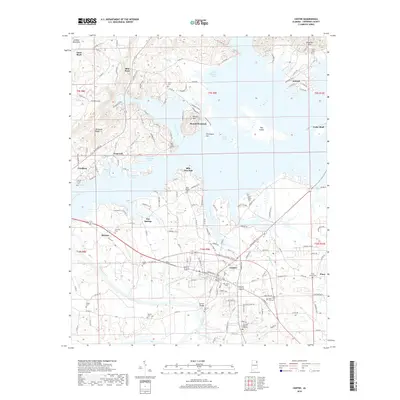
(10)- 2011 Map of Centre, 2011 Print
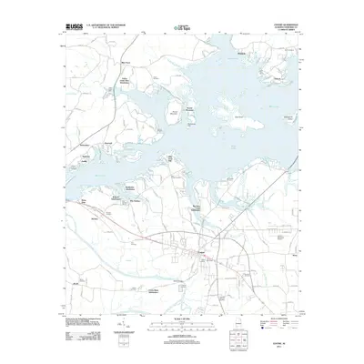 2011 Centre2011 Print · USGSCovers Centre, including Cedar Bluff, Leesburg, and other nearby areas
 - 2011 Map of Weisner Mountain, 2011 Print
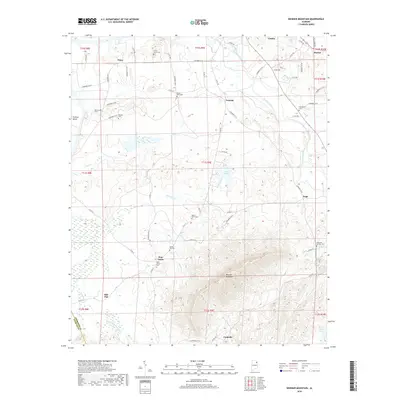
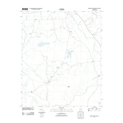 2011 Weisner Mountain2011 Print · USGSCovers Centre, including Ball Flat, Pine Grove, and other nearby areas
 - 2014 Map of Centre, 2014 Print
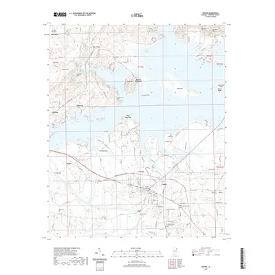
 2014 Centre2014 Print · USGSCovers Centre, including Cedar Bluff, Leesburg, and other nearby areas
 - 2014 Map of Weisner Mountain, 2014 Print
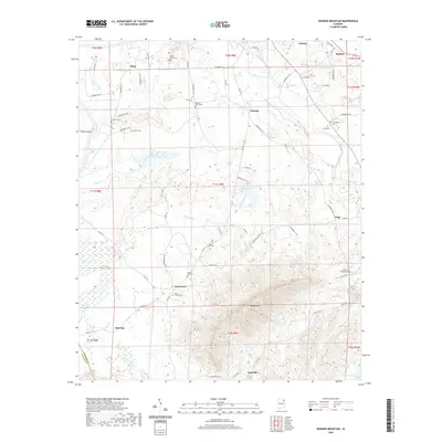
 2014 Weisner Mountain2014 Print · USGSCovers Centre, including Ball Flat, Pine Grove, and other nearby areas
 - 2018 Map of Centre, 2018 Print
 2018 Centre2018 Print · USGSCovers Centre, including Cedar Bluff, Leesburg, and other nearby areas
 - 2018 Map of Weisner Mountain, 2018 Print
 2018 Weisner Mountain2018 Print · USGSCovers Centre, including Ball Flat, Pine Grove, and other nearby areas
 - 2020 Map of Weisner Mountain, 2020 Print
 2020 Weisner Mountain2020 Print · USGSCovers Centre, including Ball Flat, Pine Grove, and other nearby areas
 - 2020 Map of Centre, 2020 Print
 2020 Centre2020 Print · USGSCovers Centre, including Cedar Bluff, Leesburg, and other nearby areas
 - 2024 Map of Weisner Mountain, 2024 Print
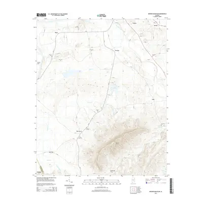
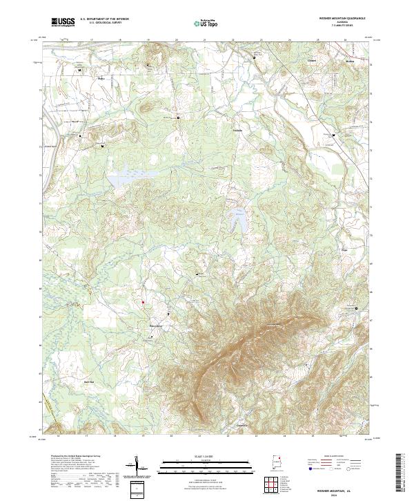 2024 Weisner Mountain2024 Print · USGSCherokee County, Alabama, is shown here in the 2020s, documenting a landscape of rural crossroads and family-named landmarks. Genealogists and local historians can trace community roots through numerous sites like Solomon Griffin Stinson Cem and Davis Chapel Cem.
 - 2024 Map of Centre, 2024 Print
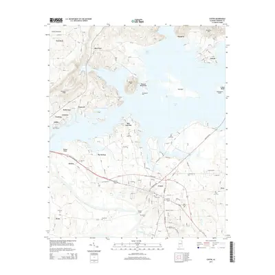
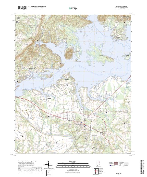 2024 Centre2024 Print · USGSCherokee County at the river's edge shows a landscape transformed by the waters of Weiss Lake and the enduring ridge lines of the Appalachians. Genealogists and local historians can locate numerous family burial grounds like Pratts Cem and trace old river crossings at Ewing Ferry or Edwards Ferry.
End of results
Showing maps 1-10 of 10
Top cities near Centre
- Fort Payne historical maps
- Glencoe historical maps
- Piedmont historical maps
- Hokes Bluff historical maps
- Collinsville historical maps
- Cedar Bluff historical maps
See more
Top neighborhoods of Centre
Frequently asked questions
- What are the different types of historical maps available for Centre?
- What is the oldest map of Centre?
- Where can I purchase historical maps of Centre for my home or office?
- Where can I download high-res historical maps of Centre?
- Are there historical topographic maps available for Centre?
- Is there historical aerial imagery available for Centre?
- Where are historical maps of Centre sourced from?