2000s (21st Century) Maps of Chilton County, Alabama
Explore 115 historic maps of Chilton County from the 2000s (21st Century). These maps offer a rare glimpse into what life looked like during the 2000s — showing old roads, neighborhoods, homes, and landmarks that have changed or disappeared over time.
Whether you're researching your family's past, planning a metal detecting trip, or studying how Chilton County's landscape evolved across the 2000s, these high-resolution maps are a powerful tool for exploring the history of this region.
- Focus on a specific era: All maps on this page are from the 2000s, giving you a focused view of this time period.
- See what’s changed: Compare century-old streets, trails, and buildings to today's modern landscape using overlays and satellite layers.
- Research with precision: Use these maps for genealogy, historical research, land use analysis, or educational projects.
- View, download, or print: Maps are fully viewable online in high resolution, and can be downloaded or printed for your own records.
Start exploring Chilton County's history through authentic maps from the 2000s. This is your window into the past.
Chilton County, AL maps
(115)- 2002 Map of Maplesville West, 2003 Print
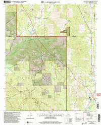 2002 Maplesville West2003 Print · USGSThe borderlands of Bibb and Chilton counties appear here at the start of the new millennium, dominated by the timber stands of the Talladega National Forest. Genealogists and local historians can locate rural landmarks like Rehobeth Ch, the Pleasant Hill Cem, and the timber-country outpost of Lawley.
 - 2002 Map of Oakmulgee, 2003 Print
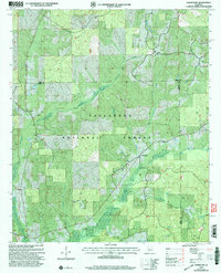 2002 Oakmulgee2003 Print · USGSThe Talladega National Forest and the community of Oakmulgee are shown at the turn of the millennium. Local researchers can trace family roots through several rural landmarks, including Harris Cem, Legal Cem, and Liberty Ch.
 - 2002 Map of Randolph, 2003 Print
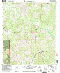 2002 Randolph2003 Print · USGSThe community of Randolph and its surrounding timberlands are documented here at the turn of the twenty-first century. Family history researchers can locate several rural landmarks including Houlston Sch, Bibb Mill, and the New Prospect Ch Cem.
 - 2002 Map of Plantersville, 2003 Print
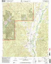 2002 Plantersville2003 Print · USGSThe borderlands of Chilton, Dallas, and Autauga counties come alive in this early 2000s survey of the Talladega National Forest area. Family historians can locate rural landmarks like Plantersville Grove Church and the Harris Cemetery near the banks of Mulberry Creek.
 - 2002 Map of Buck Creek, 2004 Print
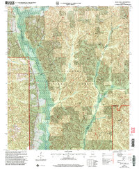 2002 Buck Creek2004 Print · USGSThe central Alabama woodlands near the intersection of Perry, Chilton, and Dallas Counties are shown here just after the millennium. Researchers can trace rural landmarks like Poplar Grove Church, Lovelady Cem, and Mt Zion Hunt Camp.
 - 2011 Map of Buck Creek, 2011 Print
 2011 Buck Creek2011 Print · USGSThe rural landscapes of Dallas County are seen here in the early twenty-first century, centered on the settlement of Panhandle. Genealogists will find a wealth of local history in the numerous burial sites like Pisgah Cemetery, Fellowship Cemetery, and Crossroad Cemetery.
 - 2011 Map of Oakmulgee, 2011 Print
 2011 Oakmulgee2011 Print · USGSOakmulgee and its surrounding Alabama hill country are captured here in the early twenty-first century. Genealogists can locate family burial sites at Barnett Cemetery or Mount Olive Cemetery and trace the rural roads around Bethlehem.
 - 2011 Map of Montevallo, 2011 Print
 2011 Montevallo2011 Print · USGSShelby County transitions from the campus of University of Montevallo to the valley settlements of Roberta and Ocampo during this early twenty-first century period. Researchers can trace numerous family burial grounds such as Session Cemetery and Providence Cemetery along the banks of the Little Cahaba River.
 - 2011 Map of Aldrich, 2011 Print
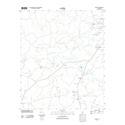 2011 Aldrich2011 Print · USGSShelby and Bibb County communities come into focus during the early twenty-first century, showcasing the rural landscape surrounding the University of Montevallo. Genealogists can locate several burial sites like Carlton Hill Cemetery and Moore Cemetery or trace the civic hearts of Wilton and Brierfield.
 - 2011 Map of Ozan, 2011 Print
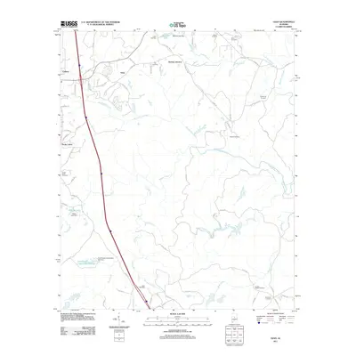 2011 Ozan2011 Print · USGSShelby County, Alabama, is shown here in the early twenty-first century, capturing a mix of growing municipal centers and deep-rooted rural cemeteries. Genealogists can trace family sites like Shiloh-Busby and Brasher Cemetery among the waters of Buxahatchee Creek.
 - 2011 Map of Shelby, 2011 Print
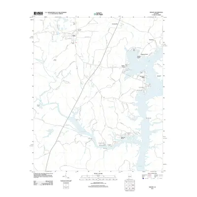 2011 Shelby2011 Print · USGSShelby and the banks of the Coosa River are captured here in the early twenty-first century, showing a landscape defined by waterfront growth. Researchers can trace family sites at Old Shelby Cemetery or explore the many landings like Bozos Camp and Wildwood Shores.
 - 2011 Map of Clanton West, 2011 Print
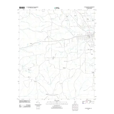 2011 Clanton West2011 Print · USGSThe western outskirts of Clanton are shown here as they appeared in 2011, detailing a landscape defined by its creek valleys and rural crossroads. Genealogists can locate many local burial sites, including Morning Star Cemetery, Liberty Hill Cemetery, and Samaria Cemetery.
 - 2011 Map of Maplesville West, 2011 Print
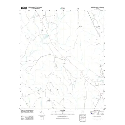 2011 Maplesville West2011 Print · USGSThe rural communities of Lawley and Active are captured in the early twenty-first century, showing a landscape of timbered ridges and family cemeteries. Genealogists can trace local roots at Rehobeth Cemetery or Cox Chapel Cemetery, while the Perry Mountain Fire Tower stands over a network of historic routes like Old Selma Rd.
 - 2011 Map of Lay Dam, 2011 Print
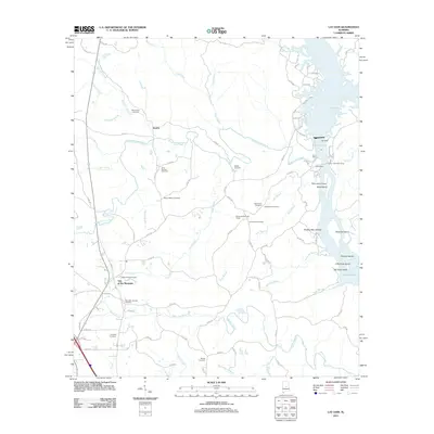 2011 Lay Dam2011 Print · USGSChilton County's riverfront was undergoing modern shifts along the Coosa River during this 2011 survey. Local researchers can locate numerous family burial grounds like Mount Bethel Cemetery and trace old river landmarks including Mims Ferry and Butting Ram Shoals.
 - 2011 Map of Clanton East, 2011 Print
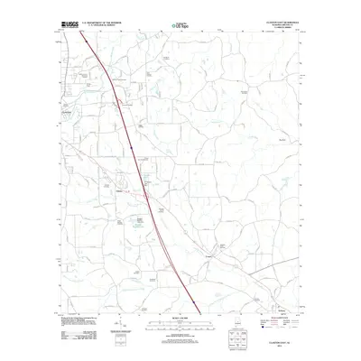 2011 Clanton East2011 Print · USGSChilton County at the start of the 2010s shows a landscape of established communities and extensive family histories. Genealogists can trace local lineages through sites like the Aldridge Family Cemetery, Sunshine Cemetery, and the older settlements of Verbena and Falakto.
 - 2011 Map of Marbury, 2011 Print
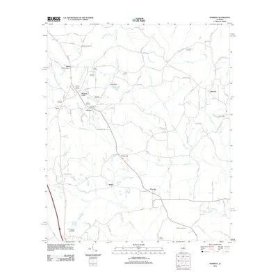 2011 Marbury2011 Print · USGSMarbury and the Autauga County countryside appear here in the early twenty-first century, showing a landscape shaped by creek basins and rural life. Researchers can trace family history through sites like Saint Paul Cemetery and the Marbury Post Office.
 - 2011 Map of Randolph, 2011 Print
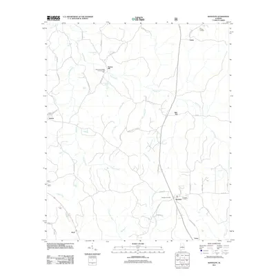 2011 Randolph2011 Print · USGSThe community of Randolph, Alabama, and its surrounding hamlets are captured here during the early twenty-first century. Genealogists and local historians can trace family roots through sites like New Prospect Cemetery, the Randolph Post Office, and the namesake Bibb Mill.
 - 2011 Map of Pletcher, 2011 Print
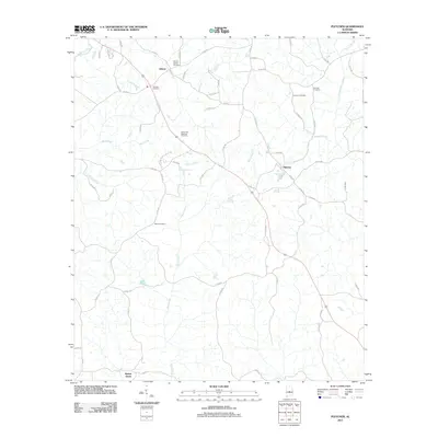 2011 Pletcher2011 Print · USGSChilton County settlement and rural life are documented here in the early twenty-first century. Genealogists can trace family roots through numerous sites like Vermont Cemetery, Alpine Cemetery, and the historic crossroads at Pletcher.
 - 2011 Map of White City, 2011 Print
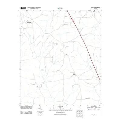 2011 White City2011 Print · USGSChilton County at the start of the 2010s remains a landscape of quiet rural settlements and ancestral burial grounds. Genealogists can trace family lines across dozens of sites like Bethany and Pleasant Valley or the communities of White City and New Prospect.
 - 2011 Map of Mitchell Dam, 2011 Print
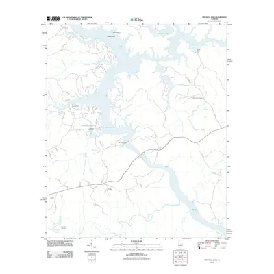 2011 Mitchell Dam2011 Print · USGSCentral Alabama at the start of the 2010s shows a landscape shaped by hydroelectric power and river management. Local historians can trace family roots at Old Salem Cemetery or explore the waterfront history near Mitchell Dam and Barretts Fish Camp.
 - 2011 Map of Richville, 2011 Print
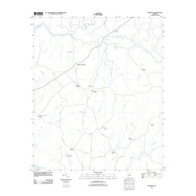 2011 Richville2011 Print · USGSCoosa County’s rural crossroads and creek-fed landscapes are captured here in the early twenty-first century. Genealogists can trace family names and locations at Sardis Cemetery, Kellys Crossroads, and Travelers Rest among the hills and branches.
 - 2011 Map of Jemison West, 2011 Print
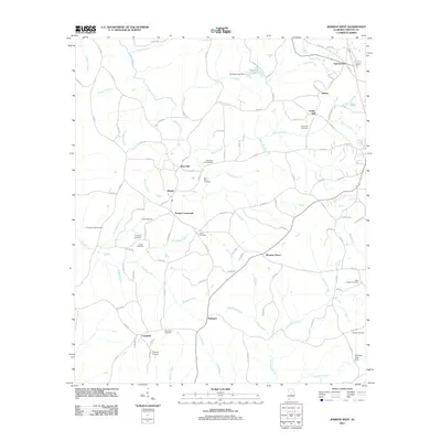 2011 Jemison West2011 Print · USGSChilton County at the start of the decade is a landscape of established family crossroads and deep-rooted rural communities. Local history researchers can trace old homestead sites near Poseys Crossroads, Bessie, and numerous historical burial grounds like Old Mars Cemetery.
 - 2011 Map of Mitchell Dam NW, 2011 Print
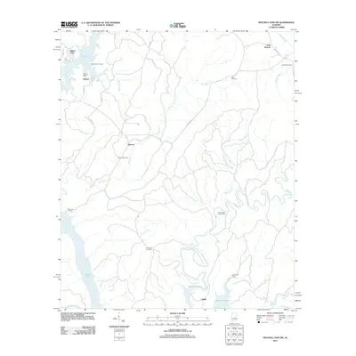 2011 Mitchell Dam NW2011 Print · USGSCoosa County’s riverfront and creek valleys are captured here in the early twenty-first century, showcasing a landscape shaped by reservoir waters and rural settlements. Genealogists and local historians can trace family locations through Quinsey Cemetery, Jennings Cemetery, and the community of Dollar.
 - 2011 Map of Jemison East, 2011 Print
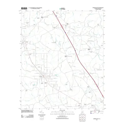 2011 Jemison East2011 Print · USGSCentral Alabama at the start of the 2010s shows a landscape deeply rooted in its community heritage and rural road networks. Genealogists and historians can trace family lines through numerous sites like Thorsby Scandinavian Cemetery, Collins Chapel, and the Union Grove Lookout Tower.
 - 2011 Map of Billingsley, 2011 Print
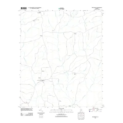 2011 Billingsley2011 Print · USGSBillingsley and its neighboring communities are captured in this modern survey of central Alabama's rolling terrain. Researchers can locate numerous local burial grounds such as Bethsalem Cemetery and New Cedron Cemetery or trace the winding course of Little Mulberry Creek.
Showing maps 1-25 of 115
Top cities of Chilton County
Frequently asked questions
- What are the different types of historical maps available for Chilton County?
- What is the oldest map of Chilton County?
- Where can I purchase historical maps of Chilton County for my home or office?
- Where can I download high-res historical maps of Chilton County?
- Are there historical topographic maps available for Chilton County?
- Is there historical aerial imagery available for Chilton County?
- Where are historical maps of Chilton County sourced from?