2000s (21st Century) Maps of Clanton, Alabama
Explore 20 historic maps of Clanton from the 2000s (21st Century). These maps offer a rare glimpse into what life looked like during the 2000s — showing old roads, neighborhoods, homes, and landmarks that have changed or disappeared over time.
Whether you're researching your family's past, planning a metal detecting trip, or studying how Clanton's landscape evolved across the 2000s, these high-resolution maps are a powerful tool for exploring the history of this region.
- Focus on a specific era: All maps on this page are from the 2000s, giving you a focused view of this time period.
- See what’s changed: Compare century-old streets, trails, and buildings to today's modern landscape using overlays and satellite layers.
- Research with precision: Use these maps for genealogy, historical research, land use analysis, or educational projects.
- View, download, or print: Maps are fully viewable online in high resolution, and can be downloaded or printed for your own records.
Start exploring Clanton's history through authentic maps from the 2000s. This is your window into the past.
Clanton, AL maps
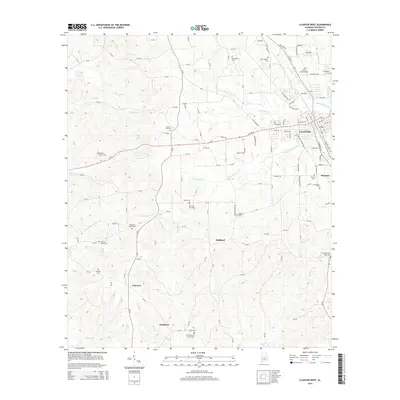
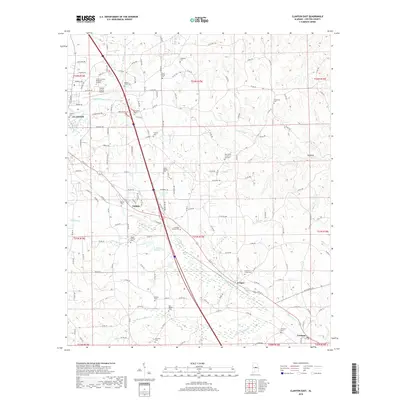
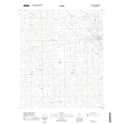
(20)- 2011 Map of Clanton West, 2011 Print
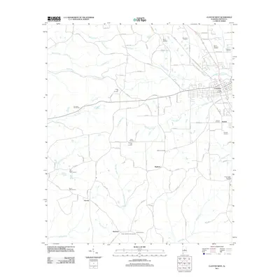 2011 Clanton West2011 Print · USGSCovers Clanton, including Kincheon, Fairview, and other nearby areas
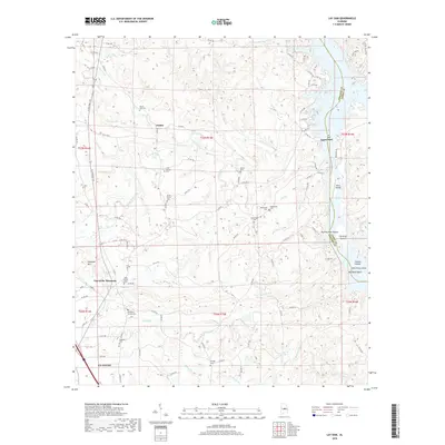
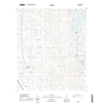
 - 2011 Map of Lay Dam, 2011 Print
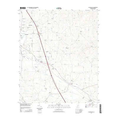
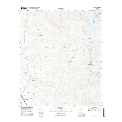
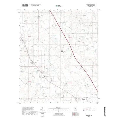
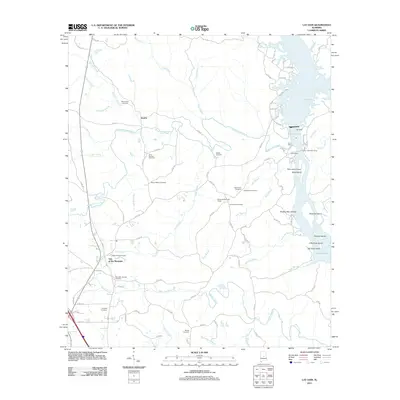 2011 Lay Dam2011 Print · USGSCovers Clanton, including Gap of the Mountain, Jumbo, and other nearby areas
 - 2011 Map of Clanton East, 2011 Print
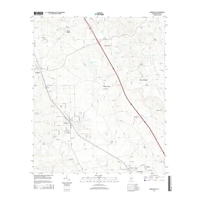
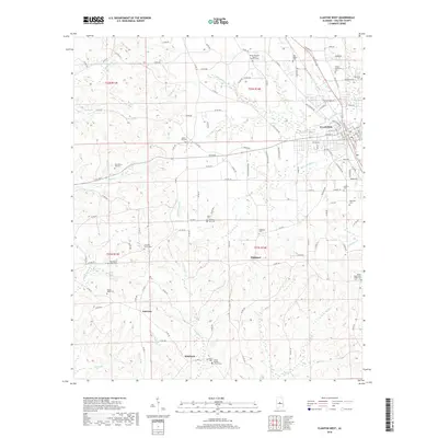
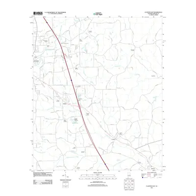 2011 Clanton East2011 Print · USGSCovers Clanton, including Cooper, Falakto, and other nearby areas
 - 2011 Map of Jemison East, 2011 Print
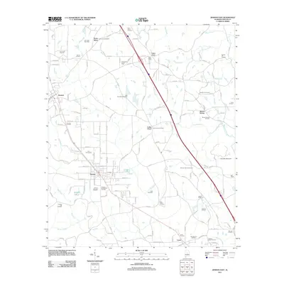 2011 Jemison East2011 Print · USGSCovers Clanton, including Jemison, Thorsby, and other nearby areas
 - 2014 Map of Clanton West, 2014 Print
 2014 Clanton West2014 Print · USGSCovers Clanton, including Kincheon, Fairview, and other nearby areas
 - 2014 Map of Clanton East, 2014 Print
 2014 Clanton East2014 Print · USGSCovers Clanton, including Cooper, Falakto, and other nearby areas
 - 2014 Map of Jemison East, 2014 Print
 2014 Jemison East2014 Print · USGSCovers Clanton, including Jemison, Thorsby, and other nearby areas
 - 2014 Map of Lay Dam, 2014 Print
 2014 Lay Dam2014 Print · USGSCovers Clanton, including Gap of the Mountain, Jumbo, and other nearby areas
 - 2018 Map of Clanton East, 2018 Print
 2018 Clanton East2018 Print · USGSCovers Clanton, including Cooper, Falakto, and other nearby areas
 - 2018 Map of Jemison East, 2018 Print
 2018 Jemison East2018 Print · USGSCovers Clanton, including Jemison, Thorsby, and other nearby areas
 - 2018 Map of Lay Dam, 2018 Print
 2018 Lay Dam2018 Print · USGSCovers Clanton, including Gap of the Mountain, Jumbo, and other nearby areas
 - 2018 Map of Clanton West, 2018 Print
 2018 Clanton West2018 Print · USGSCovers Clanton, including Kincheon, Fairview, and other nearby areas
 - 2020 Map of Clanton West, 2020 Print
 2020 Clanton West2020 Print · USGSCovers Clanton, including Kincheon, Fairview, and other nearby areas
 - 2020 Map of Lay Dam, 2020 Print
 2020 Lay Dam2020 Print · USGSCovers Clanton, including Gap of the Mountain, Jumbo, and other nearby areas
 - 2020 Map of Clanton East, 2020 Print
 2020 Clanton East2020 Print · USGSCovers Clanton, including Cooper, Falakto, and other nearby areas
 - 2020 Map of Jemison East, 2020 Print
 2020 Jemison East2020 Print · USGSCovers Clanton, including Jemison, Thorsby, and other nearby areas
 - 2024 Map of Jemison East, 2024 Print
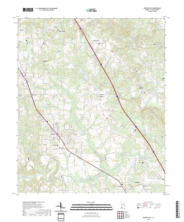 2024 Jemison East2024 Print · USGSCentral Alabama's agricultural and community roots are on display in this contemporary survey of Chilton County. Genealogists can locate family burial sites at Thorsby Scandinavian Cem, New Salem Cem, and Jacksons Chapel Cem.
 - 2024 Map of Clanton West, 2024 Print
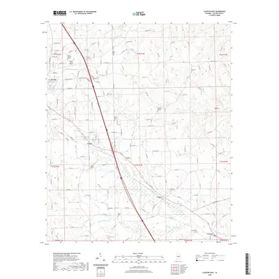
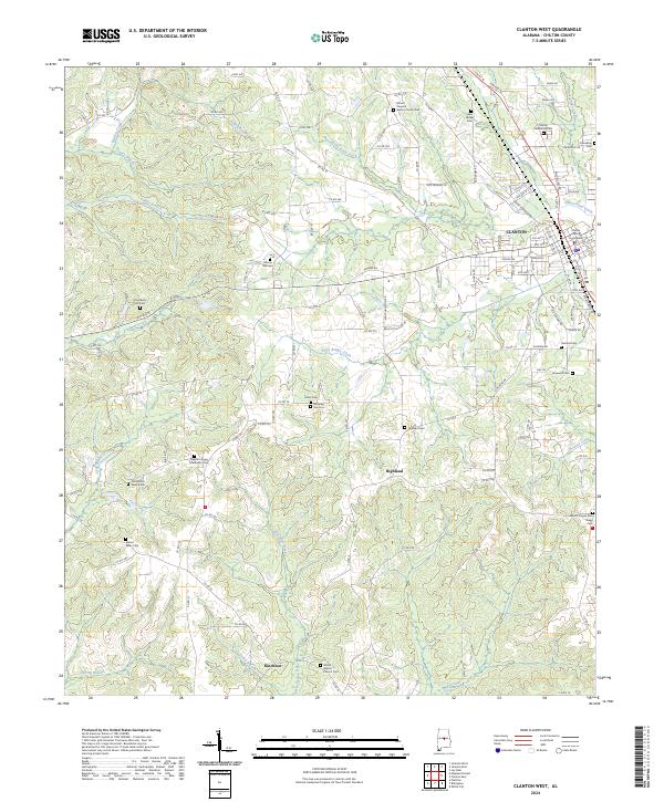 2024 Clanton West2024 Print · USGSChilton County's seat and the surrounding rural communities are captured here in recent detail, showing the town of Clanton and the small settlements of Highland and Kincheon. Genealogists can trace numerous local sites like Old Mount Nebo Cem, Peach Cem, and the Chilton County Courthouse.
 - 2024 Map of Clanton East, 2024 Print
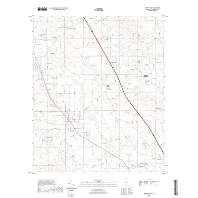
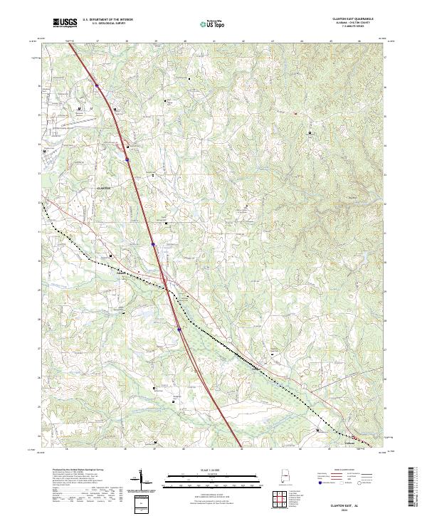 2024 Clanton East2024 Print · USGSChilton County at the present day shows a landscape where modern interstate travel meets deep-rooted local history. Genealogists and historians can trace family locations through numerous sites like Oak Grove Church of God Cem, Verbena, and Clanton Cem.
 - 2024 Map of Lay Dam, 2024 Print
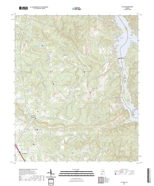 2024 Lay Dam2024 Print · USGSChilton County and the Coosa River border are captured here in the early twenty-first century as the landscape balances forest and reservoir. Genealogists can locate numerous rural burial sites including Mount Zion Cem and Mountain Springs Cem near the Gap of the Mountain.
End of results
Showing maps 1-20 of 20
Top cities near Clanton
- Calera historical maps
- Jemison historical maps
- Thorsby historical maps
- Marbury historical maps
- Billingsley historical maps
Top neighborhoods of Clanton
Frequently asked questions
- What are the different types of historical maps available for Clanton?
- What is the oldest map of Clanton?
- Where can I purchase historical maps of Clanton for my home or office?
- Where can I download high-res historical maps of Clanton?
- Are there historical topographic maps available for Clanton?
- Is there historical aerial imagery available for Clanton?
- Where are historical maps of Clanton sourced from?