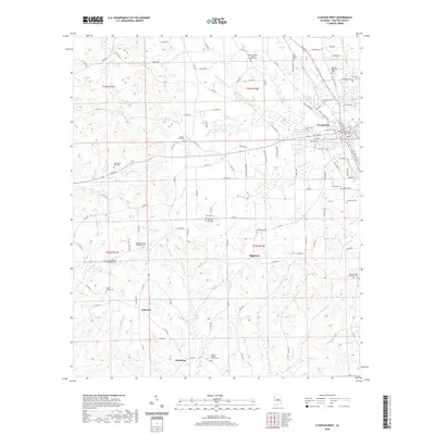
2020 Map of Clanton West
USGS Topo · Published 2020About this map
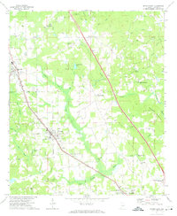
The Chilton County Courthouse serves as the focal point for Clanton, where the street grid of the county seat transitions into the rural landscapes of central Alabama. This 2020 survey documents a region defined by its religious and commemorative sites, from the Martin Memorial Cem in town to numerous country churches like Shiloh Baptist Church Cem and Mount Pisgah Zion Ridge Cem further afield. The terrain is intricately carved by a dense network of waterways, including Swift Cr and Poley Bridge Cr, which shaped the development of early settlements like Kincheon and Highland. For those tracking family history, the map provides precise locations for scattered burial grounds such as Peach Cem and the Old Mount Nebo Cem, preserving the spatial relationship between these historic congregations and the rural road network.
Find a feature on this map
142 named features on this map. Tap any name to fly to it.
Don’t see what you’re looking for? This feature index may not catch every label — zoom into the map to look around manually.
Map Details
Editions of this 2020 Clanton West Map
This is the sole edition of this map. No revisions or reprints were ever made.
Other maps of this area

1891 · Clanton
USGS Topo · 1:125,000

1953 · Montgomery
USGS Topo · 1:250,000

1956 · Montgomery
USGS Topo · 1:250,000

1957 · Montgomery
USGS Topo · 1:250,000

1959 · Plantersville
USGS Topo · 1:62,500

1959 · Billingsley
USGS Topo · 1:62,500
1971 · Lay Dam
USGS Topo · 1:24,000
1971 · Maplesville East
USGS Topo · 1:24,000
1971 · Jemison West
USGS Topo · 1:24,000
1971 · Jemison East
USGS Topo · 1:24,000