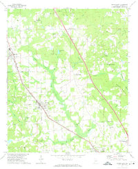
1971 Map of Jemison East
USGS Topo · Published 1974About this map
The Louisville and Nashville railroad corridor anchors the settlement pattern of this central Alabama landscape, running northwest to southeast through the communities of Jemison and Thorsby. This industrial spine is mirrored by the path of Alabama 31, illustrating the region's reliance on these primary transportation arteries for growth. The surrounding countryside is dotted with numerous small country churches and family burial grounds, such as Cedar Springs Ch and the Rocky Mount Cem, which serve as vital markers for genealogical research in Chilton County.
Find a feature on this map
60 named features on this map. Tap any name to fly to it.
Don’t see what you’re looking for? This feature index may not catch every label — zoom into the map to look around manually.
Map Details
Editions of this 1971 Jemison East Map
2 editions found
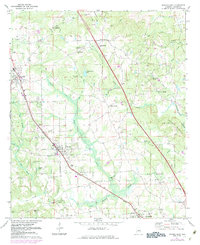
Other maps of this area

1890 · Bessemer
USGS Topo · 1:125,000

1891 · Clanton
USGS Topo · 1:125,000

1892 · Bessemer
USGS Topo · 1:125,000

1909 · Columbiana
USGS Topo · 1:62,500

1910 · Montevallo
USGS Topo · 1:62,500

1911 · Columbiana
USGS Topo · 1:62,500

1953 · Montgomery
USGS Topo · 1:250,000

1953 · Birmingham
USGS Topo · 1:250,000

1956 · Birmingham
USGS Topo · 1:250,000

1956 · Montgomery
USGS Topo · 1:250,000