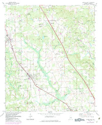
1971 Map of Jemison East
USGS Topo · Published 1984About this map
Thorsby and Jemison anchor the western corridor of this Chilton County landscape, where the Seaboard and Montgomery railroad lines dictate the alignment of local commerce and settlement. The map reveals a transition from these established rail towns into a more dispersed agricultural and wooded interior to the east. Local history is deeply etched into the terrain through a high density of country churches and family burial grounds, such as Thompson Chapel and the Rocky Mount Cem near the prominent high point of Rocky Mount.
Find a feature on this map
63 named features on this map. Tap any name to fly to it.
Don’t see what you’re looking for? This feature index may not catch every label — zoom into the map to look around manually.
Map Details
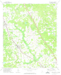
Editions of this 1971 Jemison East Map
2 editions found
Other maps of this area

1890 · Bessemer
USGS Topo · 1:125,000

1891 · Clanton
USGS Topo · 1:125,000

1892 · Bessemer
USGS Topo · 1:125,000

1909 · Columbiana
USGS Topo · 1:62,500

1910 · Montevallo
USGS Topo · 1:62,500

1911 · Columbiana
USGS Topo · 1:62,500

1953 · Montgomery
USGS Topo · 1:250,000

1953 · Birmingham
USGS Topo · 1:250,000

1956 · Birmingham
USGS Topo · 1:250,000

1956 · Montgomery
USGS Topo · 1:250,000