Old Maps of Rocky Mount, Alabama for Metal Detecting
Plan your next treasure hunt with 12 historic maps of Rocky Mount. Find old homesites, ghost towns, trails, and gathering spots that may be lost to time — perfect for identifying promising metal detecting locations.
- Locate forgotten sites: Uncover places like long-lost settlements, abandoned rail lines, or gathering spots.
- Plan better hunts: Use map overlays combined with LiDAR or satellite views to narrow in on historically rich areas.
- Made for detectorists: Thousands of hobbyists use these maps to discover relics, coins, and hidden history.
Use these historic maps to boost your research and find new opportunities beneath the surface of Rocky Mount.
Rocky Mount, AL maps
(12)- 1891 Map of Clanton
 1891 Clanton1891 Print · USGSChilton and Autauga counties are shown here in the 1890s, when the river-and-rail economy defined Central Alabama. Genealogists and historians can trace the foundations of Clanton and rural landmarks like Big Spring Church, Adam's Ferry, and Ousley Store.5 unique versions available
 - 1953 Map of Montgomery, 1964 Print
 1953 Montgomery1964 Print · USGSCentral Alabama's river-and-rail corridor is mapped here in the mid-fifties, showing the vital connections between the capital and the Black Belt. Genealogists and historians can trace rail depots and crossroads from Marion Junction to Wetumpka, alongside landmarks like Craig AFB.4 unique versions available
 - 1956 Map of Montgomery
 1956 Montgomery1956 Print · USGSCentral Alabama in the mid-1950s shows a landscape defined by its great river systems and a booming military aviation presence. Genealogists and historians can trace the rail corridors of the Southern Railway and locate tactical bases like Maxwell AFB and Craig AFB.
 - 1957 Map of Montgomery
 1957 Montgomery1957 Print · USGSCentral Alabama in the mid-fifties is defined by the winding Alabama River and a strategic network of military bases and rail lines. Trace family roots in Montgomery and Selma, or locate landmarks like Craig AFB and the State Capitol before the interstate era.
 - 1971 Map of Jemison East, 1974 Print
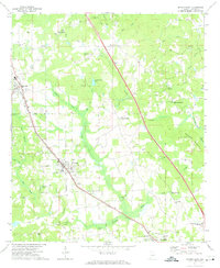 1971 Jemison East1974 Print · USGSChilton County in the early seventies is defined by the busy Louisville and Nashville rail corridor and rural crossroads. Local historians can trace family locations through numerous landmarks like Collins Chapel, Thorsby, and the Cedar Grove Ch Cem.2 unique versions available
 - 1986 Map of Clanton
 1986 Clanton1986 Print · USGSCentral Alabama’s river-driven landscape is captured here in the mid-eighties, centered on the growth of Clanton and the hydroelectric lakes of the Coosa River. Genealogists and historians can trace the Old Indian Treaty Boundary or locate landmarks like Sykes Mill and Collins Chapel.
 - 1987 Map of Clanton, 1990 Print
 1987 Clanton1990 Print · USGSCentral Alabama in the late eighties reveals a landscape of massive river reservoirs and forest reserves. Trace the rail-and-road corridors through Clanton and Wetumpka to find historic sites like Fort Toulouse and Collins Chapel.
 - 2011 Map of Jemison East, 2011 Print
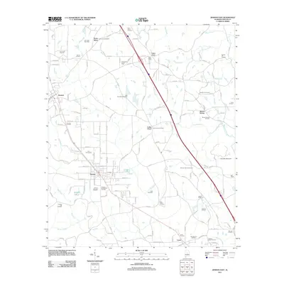 2011 Jemison East2011 Print · USGSCentral Alabama at the start of the 2010s shows a landscape deeply rooted in its community heritage and rural road networks. Genealogists and historians can trace family lines through numerous sites like Thorsby Scandinavian Cemetery, Collins Chapel, and the Union Grove Lookout Tower.
 - 2014 Map of Jemison East, 2014 Print
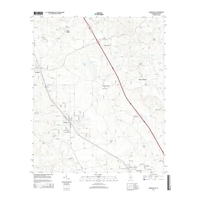 2014 Jemison East2014 Print · USGSChilton County's central corridor is captured here in the mid-2010s, showing the established layouts of Thorsby, Jemison, and Clanton. Genealogists can trace family sites at the Thorsby Scandinavian Cem, Mineral Springs Cem, and Collins Chapel Cem.
 - 2018 Map of Jemison East, 2018 Print
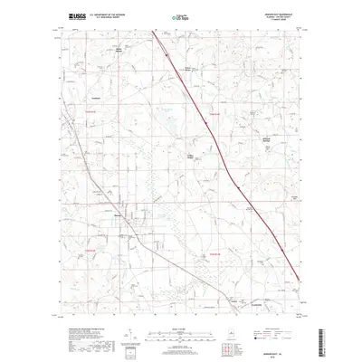 2018 Jemison East2018 Print · USGSThorsby and the surrounding Chilton County countryside are documented here in the late twenty-teens, showing the area's transition from traditional agricultural roots. Genealogists can trace family locations through numerous sites like Thorsby Scandinavian Cem, Collins Chapel, and Mineral Springs.
 - 2020 Map of Jemison East, 2020 Print
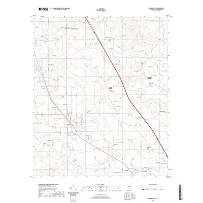 2020 Jemison East2020 Print · USGSChilton County's central corridor is shown in detail during the early 21st century, centered on the historic rail-and-road towns between Clanton and Jemison. Genealogists can locate numerous rural family burial grounds such as Thorsby Scandinavian Cem, Robinson Springs Cem, and Hardiman Cem.
 - 2024 Map of Jemison East, 2024 Print
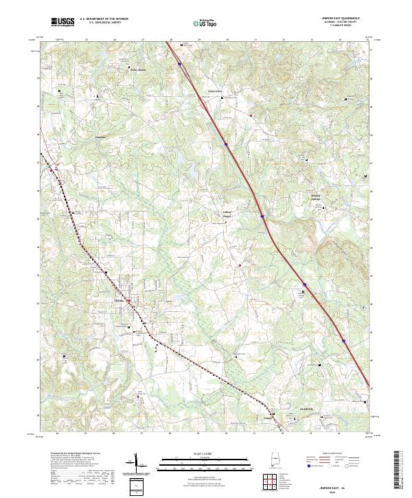 2024 Jemison East2024 Print · USGSCentral Alabama's agricultural and community roots are on display in this contemporary survey of Chilton County. Genealogists can locate family burial sites at Thorsby Scandinavian Cem, New Salem Cem, and Jacksons Chapel Cem.
End of results
Showing maps 1-12 of 12
Top cities near Rocky Mount
- Alabaster historical maps
- Calera historical maps
- Clanton historical maps
- Montevallo historical maps
- Columbiana historical maps
- Jemison historical maps
See more
Frequently asked questions
- What are the different types of historical maps available for Rocky Mount?
- What is the oldest map of Rocky Mount?
- Where can I purchase historical maps of Rocky Mount for my home or office?
- Where can I download high-res historical maps of Rocky Mount?
- Are there historical topographic maps available for Rocky Mount?
- Is there historical aerial imagery available for Rocky Mount?
- Where are historical maps of Rocky Mount sourced from?