2020s Maps of Choctaw County, Alabama
Explore 50 historic maps of Choctaw County from the 2020s. These maps offer a rare glimpse into what life looked like during the 2020s — showing old roads, neighborhoods, homes, and landmarks that have changed or disappeared over time.
Whether you're researching your family's past, planning a metal detecting trip, or studying how Choctaw County's landscape evolved across the 2020s, these high-resolution maps are a powerful tool for exploring the history of this region.
- Focus on a specific era: All maps on this page are from the 2020s, giving you a focused view of this time period.
- See what’s changed: Compare century-old streets, trails, and buildings to today's modern landscape using overlays and satellite layers.
- Research with precision: Use these maps for genealogy, historical research, land use analysis, or educational projects.
- View, download, or print: Maps are fully viewable online in high resolution, and can be downloaded or printed for your own records.
Start exploring Choctaw County's history through authentic maps from the 2020s. This is your window into the past.
Choctaw County, AL maps
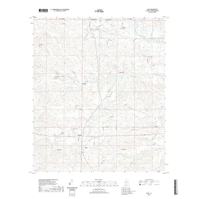
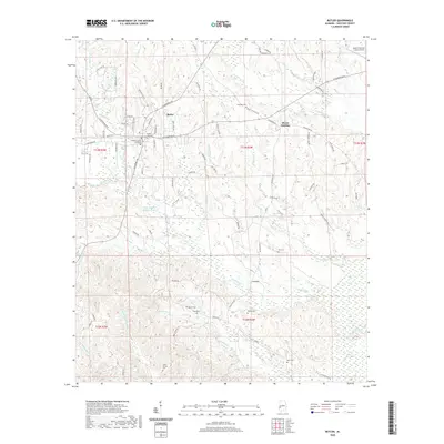
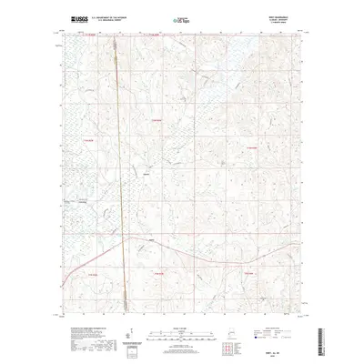
(50)- 2020 Map of Ward, 2020 Print
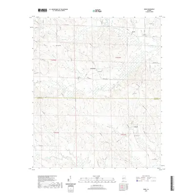 2020 Ward2020 Print · USGSCovers Choctaw County, including Charles, Halsell, and other nearby areas
 - 2020 Map of Melvin, 2020 Print
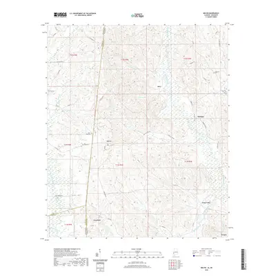 2020 Melvin2020 Print · USGSCovers Choctaw County, including Evansboro, Okatuppa, and other nearby areas
 - 2020 Map of Putnam, 2020 Print
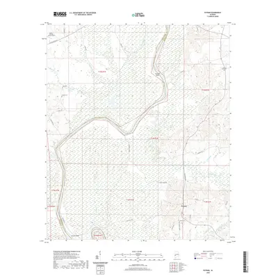 2020 Putnam2020 Print · USGSCovers Choctaw County, including Putnam, Marengo County, and other nearby areas
 - 2020 Map of Millry North, 2020 Print
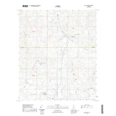 2020 Millry North2020 Print · USGSCovers Choctaw County, including Millry, Silas, and other nearby areas
 - 2020 Map of Bladon Springs, 2020 Print
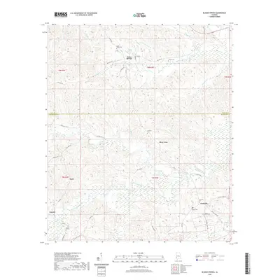 2020 Bladon Springs2020 Print · USGSCovers Choctaw County, including Silver Cross, Bladon Springs, and other nearby areas
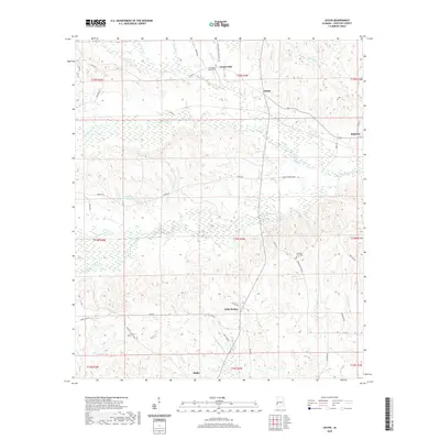
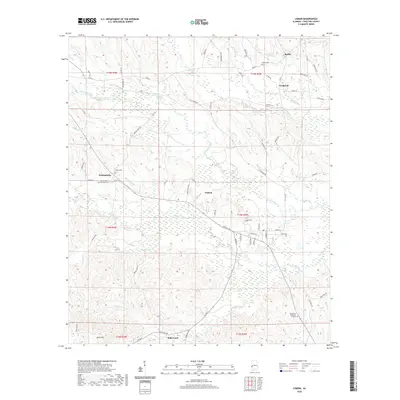
 - 2020 Map of Aquilla, 2020 Print
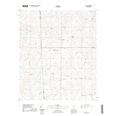 2020 Aquilla2020 Print · USGSCovers Choctaw County, including Aquilla, Contwell, and other nearby areas
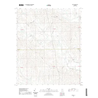
 - 2020 Map of Yantley, 2020 Print
 2020 Yantley2020 Print · USGSCovers Choctaw County, including Yantley, Cyril, and other nearby areas
 - 2020 Map of Whitfield, 2020 Print
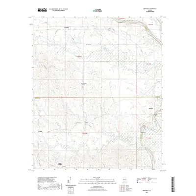 2020 Whitfield2020 Print · USGSCovers Choctaw County, including Pelham, Edna, and other nearby areas
 - 2020 Map of Silas, 2020 Print
 2020 Silas2020 Print · USGSCovers Choctaw County, including Gilbertown, Silas, and other nearby areas
 - 2020 Map of Jachin, 2020 Print
 2020 Jachin2020 Print · USGSCovers Choctaw County, including Butler, Chapel Hill, and other nearby areas
 - 2020 Map of Land, 2020 Print
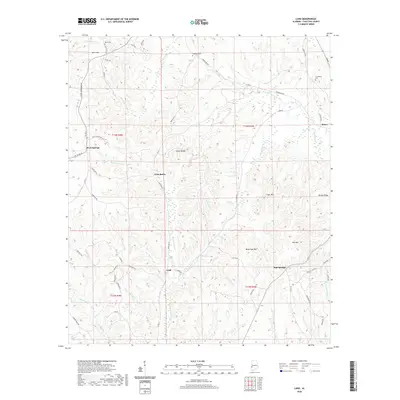 2020 Land2020 Print · USGSCovers Choctaw County, including Butler, West Butler, and other nearby areas
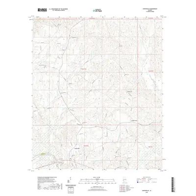
 - 2020 Map of Coffeeville Lock And Dam, 2020 Print
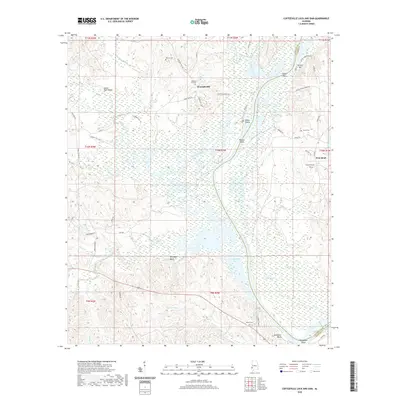 2020 Coffeeville Lock And Dam2020 Print · USGSCovers Choctaw County, including Flatwood, Womack Hill, and other nearby areas
 - 2020 Map of Pennington, 2020 Print
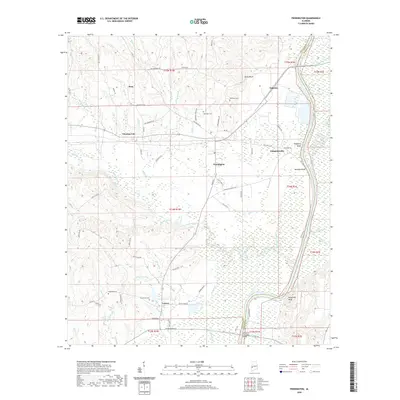 2020 Pennington2020 Print · USGSCovers Choctaw County, including Pennington, Deas, and other nearby areas
 - 2020 Map of Hinton, 2020 Print
 2020 Hinton2020 Print · USGSCovers Choctaw County, including Hinton, Pine Ridge, and other nearby areas
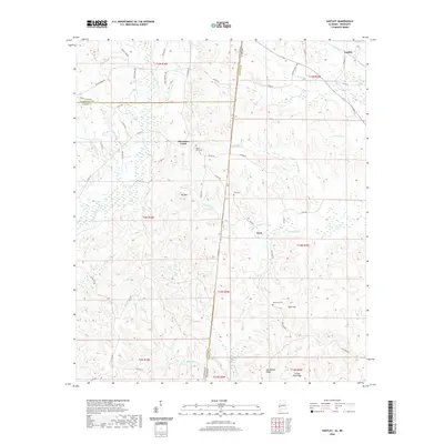
 - 2020 Map of Toxey, 2020 Print
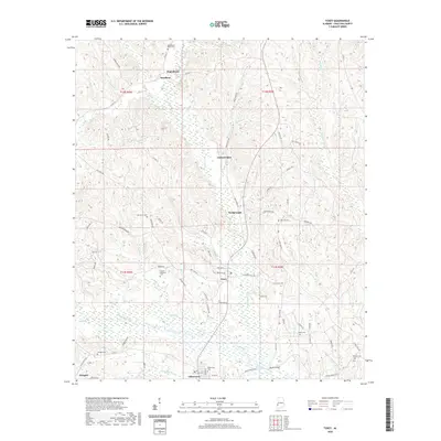 2020 Toxey2020 Print · USGSCovers Choctaw County, including Gilbertown, Toxey, and other nearby areas
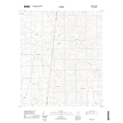
 - 2020 Map of Gaston, 2020 Print
 2020 Gaston2020 Print · USGSCovers Choctaw County, including Gaston, Derby, and other nearby areas
 - 2020 Map of Butler, 2020 Print
 2020 Butler2020 Print · USGSCovers Choctaw County, including Butler, Green Acres, and other nearby areas
 - 2020 Map of Lisman, 2020 Print
 2020 Lisman2020 Print · USGSCovers Choctaw County, including Lisman, Pushmataha, and other nearby areas
 - 2020 Map of Woods Bluff, 2020 Print
 2020 Woods Bluff2020 Print · USGSCovers Choctaw County, including Rock Springs, Smyer, and other nearby areas
 - 2020 Map of Coffeeville, 2020 Print
 2020 Coffeeville2020 Print · USGSCovers Choctaw County, including Coffeeville, Center Point, and other nearby areas
 - 2020 Map of Ararat, 2020 Print
 2020 Ararat2020 Print · USGSCovers Choctaw County, including Ararat, Pleasant Hill, and other nearby areas
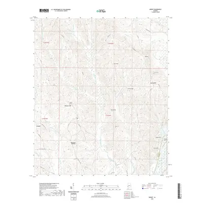
 - 2020 Map of Isney, 2020 Print
 2020 Isney2020 Print · USGSCovers Choctaw County, including Isney, Emory, and other nearby areas
 - 2020 Map of Tattlersville, 2020 Print
 2020 Tattlersville2020 Print · USGSCovers Choctaw County, including Coffeeville, Salitpa, and other nearby areas
 - 2020 Map of Myrtlewood North, 2020 Print
 2020 Myrtlewood North2020 Print · USGSCovers Choctaw County, including Myrtlewood, Hill Top, and other nearby areas
 - 2020 Map of Whynot, 2020 Print
 2020 Whynot2020 Print · USGSCovers Choctaw County, including Alamucha, Lauderdale County, and other nearby areas
Showing maps 1-25 of 50
Top cities of Choctaw County
- Butler historical maps
- Gilbertown historical maps
- Lisman historical maps
- Pennington historical maps
- Silas historical maps
- Toxey historical maps
See more
Frequently asked questions
- What are the different types of historical maps available for Choctaw County?
- What is the oldest map of Choctaw County?
- Where can I purchase historical maps of Choctaw County for my home or office?
- Where can I download high-res historical maps of Choctaw County?
- Are there historical topographic maps available for Choctaw County?
- Is there historical aerial imagery available for Choctaw County?
- Where are historical maps of Choctaw County sourced from?