Old Maps of Lowry Mill, Alabama for Metal Detecting
Plan your next treasure hunt with 13 historic maps of Lowry Mill. Find old homesites, ghost towns, trails, and gathering spots that may be lost to time — perfect for identifying promising metal detecting locations.
- Locate forgotten sites: Uncover places like long-lost settlements, abandoned rail lines, or gathering spots.
- Plan better hunts: Use map overlays combined with LiDAR or satellite views to narrow in on historically rich areas.
- Made for detectorists: Thousands of hobbyists use these maps to discover relics, coins, and hidden history.
Use these historic maps to boost your research and find new opportunities beneath the surface of Lowry Mill.
Lowry Mill, AL maps
(13)- 1948 Map of Brundidge, 1965 Print
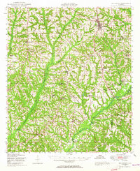 1948 Brundidge1965 Print · USGSSoutheast Alabama in the late 1940s is defined by a network of small farming communities and country churches connected by the Atlantic Coast Line. Genealogists and researchers can trace family-named landmarks such as Lowerys Mill, Coles Bridge, and Hamilton Crossroads School.
 - 1950 Map of Brundidge
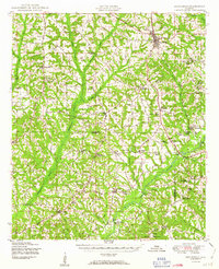 1950 Brundidge1950 Print · USGSBrundidge and the surrounding hills of Pike and Coffee Counties are captured here at mid-century as the local rail and river economy flourished. Genealogists can locate family landmarks like Arcus Cemetery or rural hubs such as Tarentum, Roeton, and Rocky Head.
 - 1953 Map of Dothan, 1966 Print
 1953 Dothan1966 Print · USGSSoutheast Alabama and Southwest Georgia are captured during a period of massive hydraulic and military expansion in the mid-fifties. Genealogists and historians can trace rural landmarks like Antioch Church and School, the Andrew Jackson Monument, and the early footprint of Fort Rucker Military Reservation.3 unique versions available
 - 1954 Map of Dothan
 1954 Dothan1954 Print · USGSSoutheast Alabama and Southwest Georgia are seen here in the mid-fifties, during a decade of military expansion and rural transition. Genealogists can trace the location of country schools like Little Zion School or the grounds of Kolomoki Mounds State Park.
 - 1955 Map of Dothan
 1955 Dothan1955 Print · USGSSoutheast Alabama and Southwest Georgia are captured here in the mid-fifties, showing a landscape of river-port history and growing military bases. Researchers can trace rural life via the Andrew Jackson Monument, Bauxite mines, and the Central of Georgia RR.
 - 1960 Map of Victoria, 1963 Print
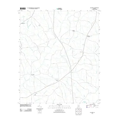
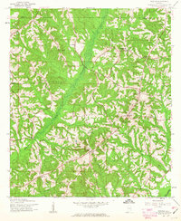 1960 Victoria1963 Print · USGSDeep in the Alabama wiregrass region during the early sixties, this area shows a landscape defined by the winding Whitewater Creek and the Pea River. Researchers can trace rural life through landmarks like Lowry Mill, Clowers Crossroads, and Bethlehem Ch.2 unique versions available
 - 1962 Map of Victoria
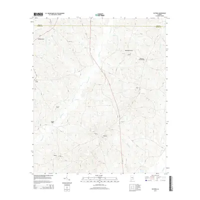
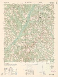 1962 Victoria1962 Print · USGSThe borderlands of Coffee and Pike County come alive in the early sixties, showing a landscape defined by small farms and country churches. Researchers can locate the Victoria School, the site of Lowry Mill, and local landmarks like Clowers Crossroads.
 - 1981 Map of Troy, 1982 Print
 1981 Troy1982 Print · USGSThe Chattahoochee River valley and the wiregrass region of Alabama come alive in the early eighties as the Walter F George Reservoir reshapes the eastern border. Genealogists can trace family roots through historic railroad towns like Brundidge and Louisville or explore the rural surroundings of Blue Springs State Park.
 - 2011 Map of Victoria, 2011 Print
 2011 Victoria2011 Print · USGSCovers Lowry Mill, including Clowers Crossroads, Victoria, and other nearby areas
 - 2014 Map of Victoria, 2014 Print
 2014 Victoria2014 Print · USGSCovers Lowry Mill, including Clowers Crossroads, Victoria, and other nearby areas
 - 2018 Map of Victoria, 2018 Print
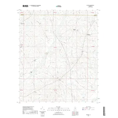 2018 Victoria2018 Print · USGSCovers Lowry Mill, including Clowers Crossroads, Victoria, and other nearby areas
 - 2020 Map of Victoria, 2020 Print
 2020 Victoria2020 Print · USGSCovers Lowry Mill, including Clowers Crossroads, Victoria, and other nearby areas
 - 2024 Map of Victoria, 2024 Print
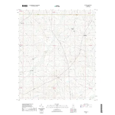
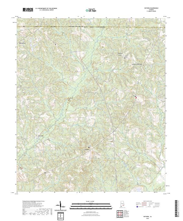 2024 Victoria2024 Print · USGSCoffee and Pike counties meet in this rural Alabama landscape, where 21st-century surveys continue to track the enduring settlement patterns of the Deep South. Researchers can trace family history through local landmarks like Lowry Mill, Wilkinstown, and the Rosin Ridge Cem.
End of results
Showing maps 1-13 of 13
Top cities near Lowry Mill
- Enterprise historical maps
- Troy historical maps
- Elba historical maps
- Brundidge historical maps
- Level Plains historical maps
- New Brockton historical maps
See more
Frequently asked questions
- What are the different types of historical maps available for Lowry Mill?
- What is the oldest map of Lowry Mill?
- Where can I purchase historical maps of Lowry Mill for my home or office?
- Where can I download high-res historical maps of Lowry Mill?
- Are there historical topographic maps available for Lowry Mill?
- Is there historical aerial imagery available for Lowry Mill?
- Where are historical maps of Lowry Mill sourced from?