Old Maps of Evergreen, Alabama for Academic Research
Study the evolution of Evergreen with 16 high-resolution historic maps. Whether you're teaching, researching, or modeling changes in land use, these maps provide essential visual documentation of urban, environmental, and geographic change.
- Analyze long-term change: Track patterns in development, transportation, and natural features.
- Ideal for environmental or urban studies: Support academic projects with primary historical map data.
- Use in the classroom or lab: Educators and researchers rely on these maps to bring historical context to life.
These maps are a powerful tool for teaching, research, and visualizing how Evergreen has changed over the decades.
Evergreen, AL maps
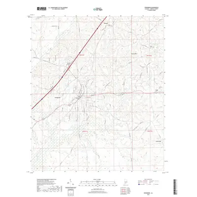
(16)- 1953 Map of Andalusia, 1965 Print
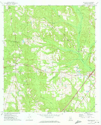
 1953 Andalusia1965 Print · USGSSouth Alabama in the mid-twentieth century remains a land of pine forests and river-fed settlements. You can trace the vital rail corridors of the Louisville & Nashville and locate regional centers such as Andalusia, Brewton, and Monroeville.3 unique versions available
 - 1957 Map of Andalusia
 1957 Andalusia1957 Print · USGSSouthern Alabama in the mid-1950s was a landscape defined by timbered stretches and the rhythmic flow of the Alabama River. Researchers can trace the legacy of the rail era through the Central of Georgia tracks and the storied river bluffs at Choctaw Bluff.
 - 1971 Map of Belleville, 1974 Print
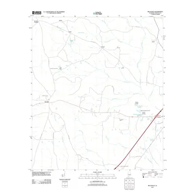
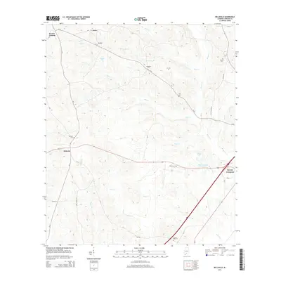
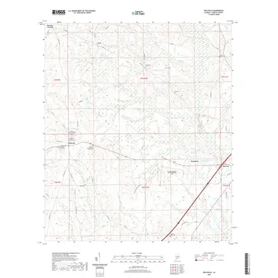
 1971 Belleville1974 Print · USGSConecuh County in the early seventies remains a landscape of quiet rural settlements and small country churches. Genealogists and local historians can trace family locations near Arkadelphia Ch, Loree, and the aviation grounds at Middleton Field.
 - 1982 Map of Evergreen
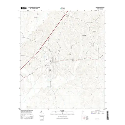
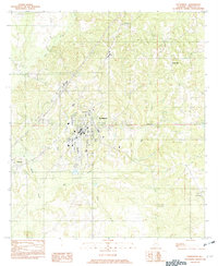 1982 Evergreen1982 Print · USGSConecuh County centers on the growing hub of Evergreen during the early 1980s. Researchers can trace rural settlement patterns through communities like Owassa, Fairview, and Brownville situated along the winding banks of Murder Creek.
 - 1986 Map of Andalusia
 1986 Andalusia1986 Print · USGSCovington County and the Wiregrass region are shown here in the mid-1980s, centered on the growing hubs of Andalusia and Opp. Genealogists and local historians can trace legacy sites like the Old Pioneer Cem, Straughn Sch, and the rail lines of the Louisville and Nashville RR.2 unique versions available
 - 1986 Map of Atmore
 1986 Atmore1986 Print · USGSSouth Alabama’s river country and timberlands are captured here in the mid-eighties, showing the deep-water bends of the Alabama River and the expanding road networks. Genealogists and historians can trace family locations through small-town post offices and rural churches like Chrysler Ch and the settlement of Barlow Bend.2 unique versions available
 - 2011 Map of Belleville, 2011 Print
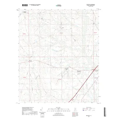
 2011 Belleville2011 Print · USGSCovers Evergreen, including Stokes, Brantley Crossing, and other nearby areas
 - 2011 Map of Evergreen, 2011 Print
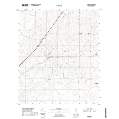
 2011 Evergreen2011 Print · USGSCovers Evergreen, including Centerville, Brownville, and other nearby areas
 - 2014 Map of Evergreen, 2014 Print
 2014 Evergreen2014 Print · USGSCovers Evergreen, including Centerville, Brownville, and other nearby areas
 - 2014 Map of Belleville, 2014 Print
 2014 Belleville2014 Print · USGSCovers Evergreen, including Stokes, Brantley Crossing, and other nearby areas
 - 2018 Map of Evergreen, 2018 Print
 2018 Evergreen2018 Print · USGSCovers Evergreen, including Centerville, Brownville, and other nearby areas
 - 2018 Map of Belleville, 2018 Print
 2018 Belleville2018 Print · USGSCovers Evergreen, including Stokes, Brantley Crossing, and other nearby areas
 - 2020 Map of Evergreen, 2020 Print
 2020 Evergreen2020 Print · USGSCovers Evergreen, including Centerville, Brownville, and other nearby areas
 - 2020 Map of Belleville, 2020 Print
 2020 Belleville2020 Print · USGSCovers Evergreen, including Stokes, Brantley Crossing, and other nearby areas
 - 2024 Map of Evergreen, 2024 Print
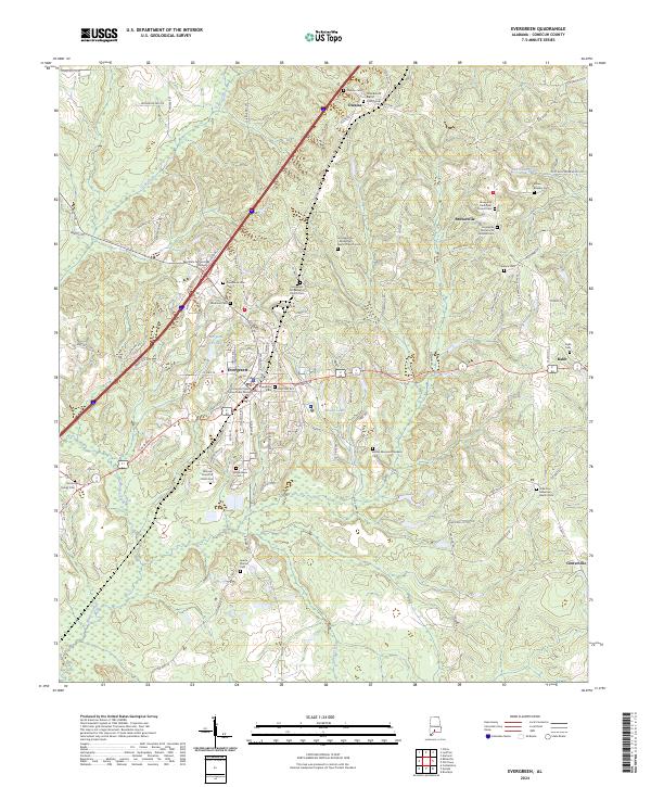 2024 Evergreen2024 Print · USGSConecuh County is documented in the mid-2020s, showing the modern layout of the regional seat and surrounding rural hamlets. Family historians can trace local roots through dozens of sites like Sparta Station Cem, Magnolia Cem, and the Brownville Pentecostal Holiness Cem.
 - 2024 Map of Belleville, 2024 Print
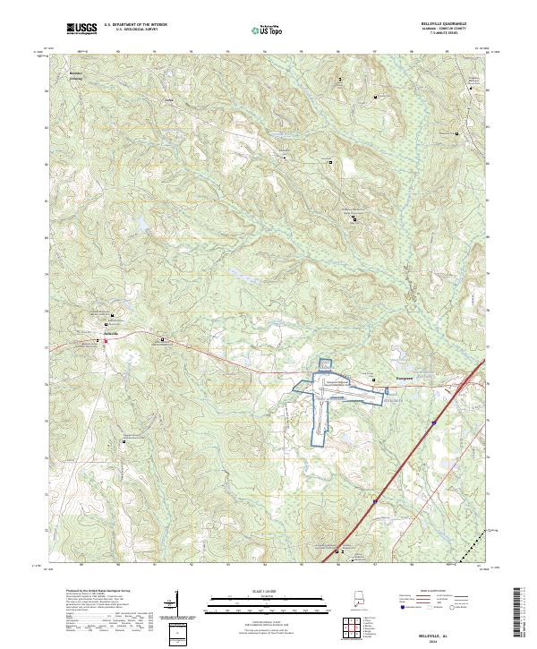 2024 Belleville2024 Print · USGSModern-day Conecuh County reveals a landscape shaped by rural aviation and deep-rooted church communities. Family researchers can locate many small burial sites including the Ashley Anderson Family Cem, Eli Salter Cem, and Belleville Missionary Baptist Church Cem.
End of results
Showing maps 1-16 of 16
Top cities near Evergreen
Top neighborhoods of Evergreen
Frequently asked questions
- What are the different types of historical maps available for Evergreen?
- What is the oldest map of Evergreen?
- Where can I purchase historical maps of Evergreen for my home or office?
- Where can I download high-res historical maps of Evergreen?
- Are there historical topographic maps available for Evergreen?
- Is there historical aerial imagery available for Evergreen?
- Where are historical maps of Evergreen sourced from?