Old Maps of Evergreen, Alabama for Hiking & Exploration
Hike through history with 16 historic maps of Evergreen. Explore old trails, ghost towns, and forgotten backroads — perfect for outdoor adventurers and local explorers.
- Rediscover forgotten places: Map out old mining camps, roads, and footpaths that no longer exist on modern maps.
- Layer with modern tools: Combine with LiDAR or satellite views to plan hikes through historical terrain.
- Made for exploration: Popular among hikers, overlanders, and local history lovers.
Use these maps to find adventure and explore the hidden past of Evergreen.
Evergreen, AL maps
(16)- 1953 Map of Andalusia, 1965 Print
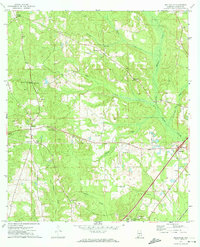
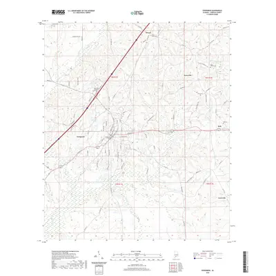
 1953 Andalusia1965 Print · USGSSouth Alabama in the mid-twentieth century remains a land of pine forests and river-fed settlements. You can trace the vital rail corridors of the Louisville & Nashville and locate regional centers such as Andalusia, Brewton, and Monroeville.3 unique versions available
 - 1957 Map of Andalusia
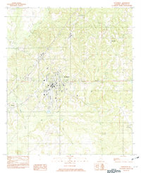
 1957 Andalusia1957 Print · USGSSouthern Alabama in the mid-1950s was a landscape defined by timbered stretches and the rhythmic flow of the Alabama River. Researchers can trace the legacy of the rail era through the Central of Georgia tracks and the storied river bluffs at Choctaw Bluff.
 - 1971 Map of Belleville, 1974 Print
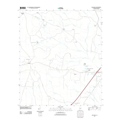
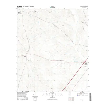
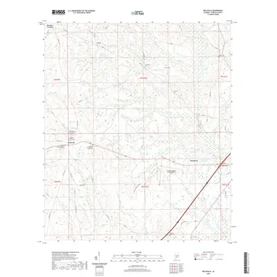
 1971 Belleville1974 Print · USGSConecuh County in the early seventies remains a landscape of quiet rural settlements and small country churches. Genealogists and local historians can trace family locations near Arkadelphia Ch, Loree, and the aviation grounds at Middleton Field.
 - 1982 Map of Evergreen
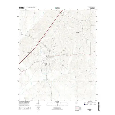
 1982 Evergreen1982 Print · USGSConecuh County centers on the growing hub of Evergreen during the early 1980s. Researchers can trace rural settlement patterns through communities like Owassa, Fairview, and Brownville situated along the winding banks of Murder Creek.
 - 1986 Map of Andalusia
 1986 Andalusia1986 Print · USGSCovington County and the Wiregrass region are shown here in the mid-1980s, centered on the growing hubs of Andalusia and Opp. Genealogists and local historians can trace legacy sites like the Old Pioneer Cem, Straughn Sch, and the rail lines of the Louisville and Nashville RR.2 unique versions available
 - 1986 Map of Atmore
 1986 Atmore1986 Print · USGSSouth Alabama’s river country and timberlands are captured here in the mid-eighties, showing the deep-water bends of the Alabama River and the expanding road networks. Genealogists and historians can trace family locations through small-town post offices and rural churches like Chrysler Ch and the settlement of Barlow Bend.2 unique versions available
 - 2011 Map of Belleville, 2011 Print
 2011 Belleville2011 Print · USGSCovers Evergreen, including Stokes, Brantley Crossing, and other nearby areas
 - 2011 Map of Evergreen, 2011 Print
 2011 Evergreen2011 Print · USGSCovers Evergreen, including Centerville, Brownville, and other nearby areas
 - 2014 Map of Evergreen, 2014 Print
 2014 Evergreen2014 Print · USGSCovers Evergreen, including Centerville, Brownville, and other nearby areas
 - 2014 Map of Belleville, 2014 Print
 2014 Belleville2014 Print · USGSCovers Evergreen, including Stokes, Brantley Crossing, and other nearby areas
 - 2018 Map of Evergreen, 2018 Print
 2018 Evergreen2018 Print · USGSCovers Evergreen, including Centerville, Brownville, and other nearby areas
 - 2018 Map of Belleville, 2018 Print
 2018 Belleville2018 Print · USGSCovers Evergreen, including Stokes, Brantley Crossing, and other nearby areas
 - 2020 Map of Evergreen, 2020 Print
 2020 Evergreen2020 Print · USGSCovers Evergreen, including Centerville, Brownville, and other nearby areas
 - 2020 Map of Belleville, 2020 Print
 2020 Belleville2020 Print · USGSCovers Evergreen, including Stokes, Brantley Crossing, and other nearby areas
 - 2024 Map of Evergreen, 2024 Print
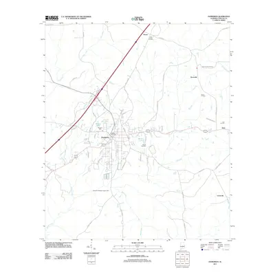
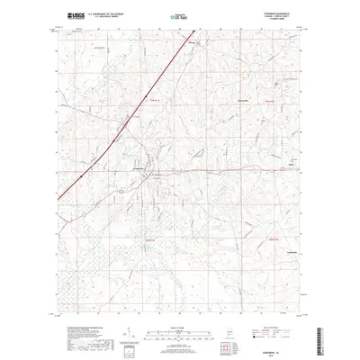
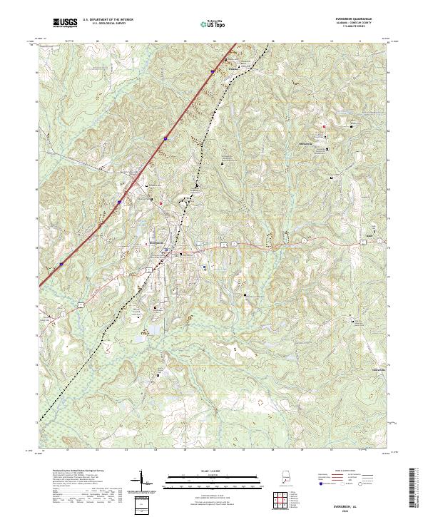 2024 Evergreen2024 Print · USGSConecuh County is documented in the mid-2020s, showing the modern layout of the regional seat and surrounding rural hamlets. Family historians can trace local roots through dozens of sites like Sparta Station Cem, Magnolia Cem, and the Brownville Pentecostal Holiness Cem.
 - 2024 Map of Belleville, 2024 Print
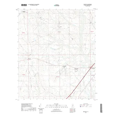
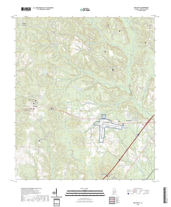 2024 Belleville2024 Print · USGSModern-day Conecuh County reveals a landscape shaped by rural aviation and deep-rooted church communities. Family researchers can locate many small burial sites including the Ashley Anderson Family Cem, Eli Salter Cem, and Belleville Missionary Baptist Church Cem.
End of results
Showing maps 1-16 of 16
Top cities near Evergreen
Top neighborhoods of Evergreen
Frequently asked questions
- What are the different types of historical maps available for Evergreen?
- What is the oldest map of Evergreen?
- Where can I purchase historical maps of Evergreen for my home or office?
- Where can I download high-res historical maps of Evergreen?
- Are there historical topographic maps available for Evergreen?
- Is there historical aerial imagery available for Evergreen?
- Where are historical maps of Evergreen sourced from?