Old Maps of Nymph, Alabama for Metal Detecting
Plan your next treasure hunt with 9 historic maps of Nymph. Find old homesites, ghost towns, trails, and gathering spots that may be lost to time — perfect for identifying promising metal detecting locations.
- Locate forgotten sites: Uncover places like long-lost settlements, abandoned rail lines, or gathering spots.
- Plan better hunts: Use map overlays combined with LiDAR or satellite views to narrow in on historically rich areas.
- Made for detectorists: Thousands of hobbyists use these maps to discover relics, coins, and hidden history.
Use these historic maps to boost your research and find new opportunities beneath the surface of Nymph.
Nymph, AL maps
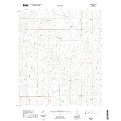
(9)- 1953 Map of Andalusia, 1965 Print
 1953 Andalusia1965 Print · USGSSouth Alabama in the mid-twentieth century remains a land of pine forests and river-fed settlements. You can trace the vital rail corridors of the Louisville & Nashville and locate regional centers such as Andalusia, Brewton, and Monroeville.3 unique versions available
 - 1957 Map of Andalusia
 1957 Andalusia1957 Print · USGSSouthern Alabama in the mid-1950s was a landscape defined by timbered stretches and the rhythmic flow of the Alabama River. Researchers can trace the legacy of the rail era through the Central of Georgia tracks and the storied river bluffs at Choctaw Bluff.
 - 1982 Map of Nymph
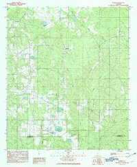 1982 Nymph1982 Print · USGSConecuh and Escambia counties are captured here in the late 1970s, showcasing a rural Alabama landscape shaped by many creeks and ponds. Genealogists and local historians can trace family-named sites like Jay Villa, McMillan Pond, and the old settlement of Old Sparta.
 - 1986 Map of Andalusia
 1986 Andalusia1986 Print · USGSCovington County and the Wiregrass region are shown here in the mid-1980s, centered on the growing hubs of Andalusia and Opp. Genealogists and local historians can trace legacy sites like the Old Pioneer Cem, Straughn Sch, and the rail lines of the Louisville and Nashville RR.2 unique versions available
 - 2011 Map of Nymph, 2011 Print
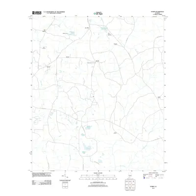 2011 Nymph2011 Print · USGSCovers Nymph, including Old Sparta, Jay Villa, and other nearby areas
 - 2014 Map of Nymph, 2014 Print
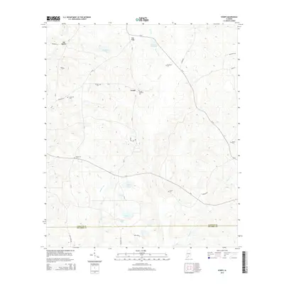 2014 Nymph2014 Print · USGSCovers Nymph, including Old Sparta, Jay Villa, and other nearby areas
 - 2018 Map of Nymph, 2018 Print
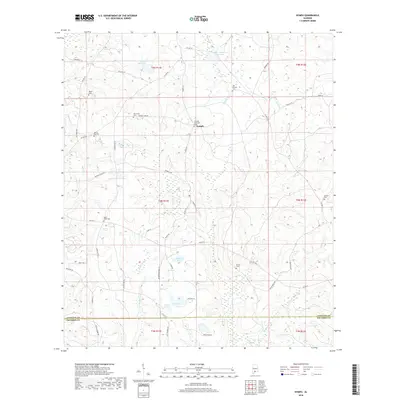 2018 Nymph2018 Print · USGSCovers Nymph, including Old Sparta, Jay Villa, and other nearby areas
 - 2020 Map of Nymph, 2020 Print
 2020 Nymph2020 Print · USGSCovers Nymph, including Old Sparta, Jay Villa, and other nearby areas
 - 2024 Map of Nymph, 2024 Print
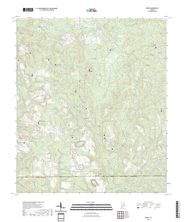 2024 Nymph2024 Print · USGSModern-day Conecuh County is mapped here, showing a rural landscape shaped by generational family lands and country churches. Genealogists can trace local roots through Nymph and numerous burial grounds like Sparta Cem and Old Beulah Cem.
End of results
Showing maps 1-9 of 9
Top cities near Nymph
Frequently asked questions
- What are the different types of historical maps available for Nymph?
- What is the oldest map of Nymph?
- Where can I purchase historical maps of Nymph for my home or office?
- Where can I download high-res historical maps of Nymph?
- Are there historical topographic maps available for Nymph?
- Is there historical aerial imagery available for Nymph?
- Where are historical maps of Nymph sourced from?