Old Maps of Brewton, Alabama
Explore 16 old maps of Brewton, spanning from 1953 to today. These high-resolution historic maps reveal how streets, neighborhoods, landmarks, and natural features evolved over time — perfect for genealogy, metal detecting, research, and local history exploration.
What you can do with these maps:
- See how Brewton changed over time: Compare historical maps to modern-day views to trace roads, homesites, rail lines & more.
- View detailed metadata: Each map includes creators, publishers, year, scale, and archive source.
- Overlay maps with satellite & LiDAR: Visualize the past alongside modern tools to explore terrain & human change.
- Trusted historical sources: Maps sourced from the USGS, Library of Congress, and other archives.
- Access maps your way: View online, download high-res files, or order prints for personal or research use.
Start exploring old maps of Brewton to uncover forgotten places, hidden landmarks, and the deep history beneath your feet.
Brewton, AL maps
(16)- 1953 Map of Andalusia, 1965 Print
 1953 Andalusia1965 Print · USGSSouth Alabama in the mid-twentieth century remains a land of pine forests and river-fed settlements. You can trace the vital rail corridors of the Louisville & Nashville and locate regional centers such as Andalusia, Brewton, and Monroeville.3 unique versions available
 - 1957 Map of Andalusia
 1957 Andalusia1957 Print · USGSSouthern Alabama in the mid-1950s was a landscape defined by timbered stretches and the rhythmic flow of the Alabama River. Researchers can trace the legacy of the rail era through the Central of Georgia tracks and the storied river bluffs at Choctaw Bluff.
 - 1959 Map of Brewton South, 1991 Print
 1959 Brewton South1991 Print · USGSThe Birmingham suburbs and the ridgeline of Shades Mountain are captured here during a period of rapid mid-century growth. Researchers can trace the development of Mountain Brook and Homewood, locating local landmarks like Howard College and Elmwood Cemetery.
 - 1960 Map of Brewton South, 1961 Print
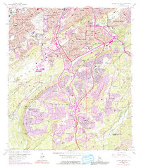
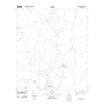
 1960 Brewton South1961 Print · USGSBrewton and East Brewton thrive at the meeting of the Conecuh River and Murder Creek during this mid-century period. Genealogists and historians can trace family ties at Fort Crawford Cem, visit Neal Sch, or locate old industries like the Sand and Gravel Pits.2 unique versions available
 - 1960 Map of Brewton North, 1961 Print
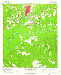
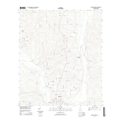
 1960 Brewton North1961 Print · USGSThe area around Brewton in the early sixties was a landscape of creek-side settlements and growing educational institutions along the rail line. Researchers can trace the footprints of the Southern Normal Sch, Appleton, and rural landmarks like Zion Hill Cem.3 unique versions available
 - 1986 Map of Atmore
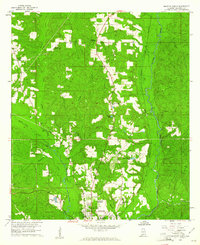
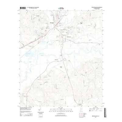
 1986 Atmore1986 Print · USGSSouth Alabama’s river country and timberlands are captured here in the mid-eighties, showing the deep-water bends of the Alabama River and the expanding road networks. Genealogists and historians can trace family locations through small-town post offices and rural churches like Chrysler Ch and the settlement of Barlow Bend.2 unique versions available
 - 2011 Map of Brewton South, 2011 Print
 2011 Brewton South2011 Print · USGSCovers Brewton, including East Brewton, Riverview, and other nearby areas
 - 2011 Map of Brewton North, 2011 Print
 2011 Brewton North2011 Print · USGSCovers Brewton, including Appleton, Kirkland, and other nearby areas
 - 2014 Map of Brewton North, 2014 Print
 2014 Brewton North2014 Print · USGSCovers Brewton, including Appleton, Kirkland, and other nearby areas
 - 2014 Map of Brewton South, 2014 Print
 2014 Brewton South2014 Print · USGSCovers Brewton, including East Brewton, Riverview, and other nearby areas
 - 2018 Map of Brewton North, 2018 Print
 2018 Brewton North2018 Print · USGSCovers Brewton, including Appleton, Kirkland, and other nearby areas
 - 2018 Map of Brewton South, 2018 Print
 2018 Brewton South2018 Print · USGSCovers Brewton, including East Brewton, Riverview, and other nearby areas
 - 2020 Map of Brewton North, 2020 Print
 2020 Brewton North2020 Print · USGSCovers Brewton, including Appleton, Kirkland, and other nearby areas
 - 2020 Map of Brewton South, 2020 Print
 2020 Brewton South2020 Print · USGSCovers Brewton, including East Brewton, Riverview, and other nearby areas
 - 2024 Map of Brewton North, 2024 Print
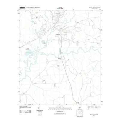
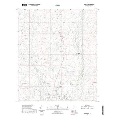
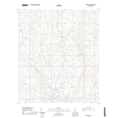
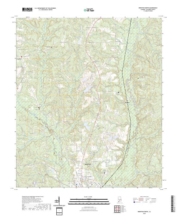 2024 Brewton North2024 Print · USGSEscambia County at the modern day shows a landscape shaped by creek systems and deeply rooted rural communities. Genealogists can trace family landmarks at Kirkland Cem, the Benjamin W Jernigan Cem, and the historic Appleton area.
 - 2024 Map of Brewton South, 2024 Print
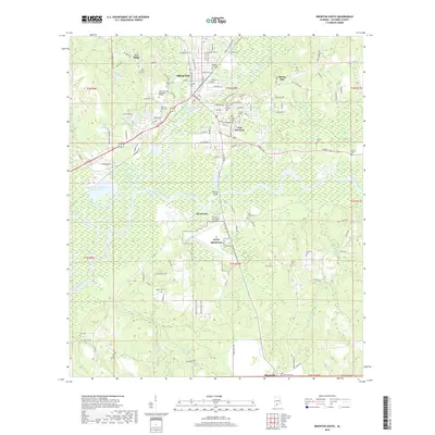
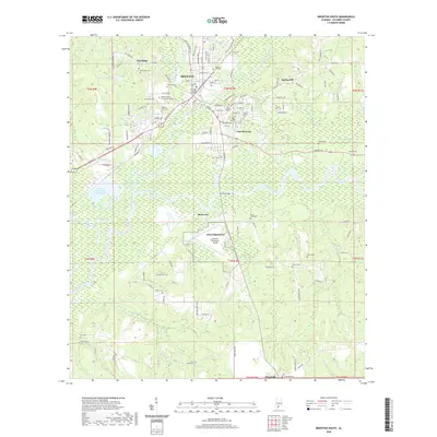
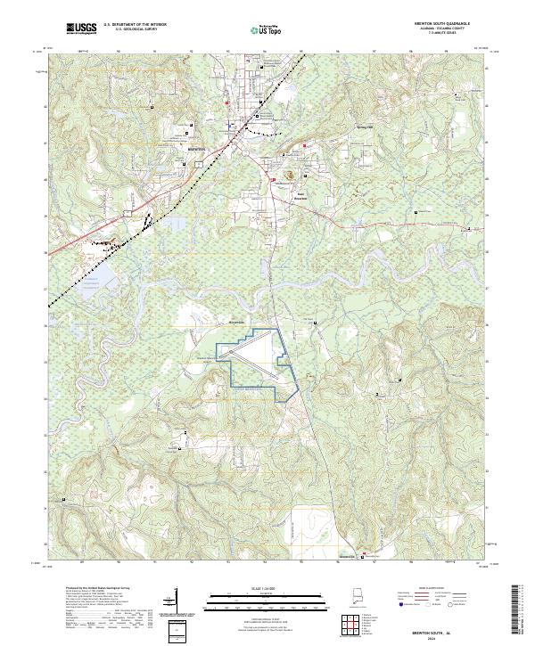 2024 Brewton South2024 Print · USGSThe confluence of the Conecuh River and Murder Creek defines the southern Escambia County landscape in the 2020s. Researchers can trace local lineage through Old Travis Cem, Baptist Hill Cem, and the numerous rural churches near Brewton.
End of results
Showing maps 1-16 of 16
Top cities near Brewton
- East Brewton historical maps
- Century historical maps
- Flomaton historical maps
- Jay historical maps
- Castleberry historical maps
- Riverview historical maps
See more
Frequently asked questions
- What are the different types of historical maps available for Brewton?
- What is the oldest map of Brewton?
- Where can I purchase historical maps of Brewton for my home or office?
- Where can I download high-res historical maps of Brewton?
- Are there historical topographic maps available for Brewton?
- Is there historical aerial imagery available for Brewton?
- Where are historical maps of Brewton sourced from?