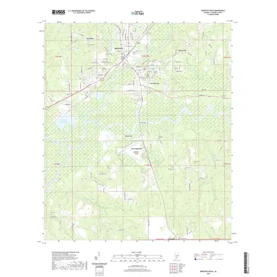
2020 Map of Brewton South
USGS Topo · Published 2020About this map
The Conecuh River and Murder Creek converge south of Brewton, defining the geography of this south-central Alabama landscape. As the county seat, Brewton serves as the primary hub, anchored by the Escambia County Courthouse and Jefferson Davis Community College. The map reveals a transition from the urban grid of the city and East Brewton to the outlying rural settlements of Pea Ridge, Spring Hill, and Riverview. The presence of NOLF Brewton and the Brewton Municipal Airport underscores the strategic aviation infrastructure established in the area.
Find a feature on this map
137 named features on this map. Tap any name to fly to it.
Don’t see what you’re looking for? This feature index may not catch every label — zoom into the map to look around manually.
Map Details
Editions of this 2020 Brewton South Map
This is the sole edition of this map. No revisions or reprints were ever made.
Other maps of this area

1943 · Jay
USGS Topo · 1:62,500

1948 · Munson
USGS Topo · 1:62,500

1950 · Munson
USGS Topo · 1:62,500

1953 · Andalusia
USGS Topo · 1:250,000

1957 · Andalusia
USGS Topo · 1:250,000

1957 · Pensacola
USGS Topo · 1:250,000

1959 · Pensacola
USGS Topo · 1:250,000

1959 · Brewton South
USGS Topo · 1:24,000

1960 · Pensacola
USGS Topo · 1:250,000

1960 · Brewton South
USGS Topo · 1:24,000