
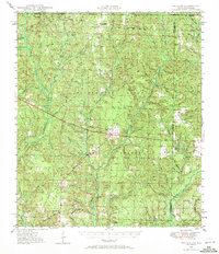
1948 Map of Munson
USGS Topo · Published 1958About this map
The Blackwater State Forest dominates this post-war survey of Santa Rosa County, revealing a landscape defined by its timber and water resources. The settlement of Munson serves as a central hub, complete with the Munson High School and a nearby Munson Lookout Tower for forest surveillance. The map traces the intricate drainage of Big Coldwater Creek and Sweetwater Creek, which carve through the dense pine lands. Genealogists will find significant value in the scattered rural cemeteries such as Black Cem, Hobbs Cem, and Sullivan Cem. The presence of small community centers like Sellersville and McClellan near the Alabama-Florida state line illustrates the late-1940s distribution of rural Florida homesteads before more modern development altered these forest-dependent communities.
Find a feature on this map
82 named features on this map. Tap any name to fly to it.
Don’t see what you’re looking for? This feature index may not catch every label — zoom into the map to look around manually.
Map Details
Editions of this 1948 Munson Map
2 editions found
Other maps of this area

1920 · Milton
USGS Topo · 1:62,500

1934 · Holt
USGS Topo · 1:48,000

1934 · Harold
USGS Topo · 1:62,500

1937 · Holt
USGS Topo · 1:62,500

1937 · Harold
USGS Topo · 1:62,500

1938 · Harold
USGS Topo · 1:62,500

1941 · Milton
USGS Topo · 1:62,500

1943 · Milton
USGS Topo · 1:62,500

1943 · Jay
USGS Topo · 1:62,500

1949 · Crestview
USGS Topo · 1:62,500