2000s (21st Century) Maps of Brewton, Alabama
Explore 10 historic maps of Brewton from the 2000s (21st Century). These maps offer a rare glimpse into what life looked like during the 2000s — showing old roads, neighborhoods, homes, and landmarks that have changed or disappeared over time.
Whether you're researching your family's past, planning a metal detecting trip, or studying how Brewton's landscape evolved across the 2000s, these high-resolution maps are a powerful tool for exploring the history of this region.
- Focus on a specific era: All maps on this page are from the 2000s, giving you a focused view of this time period.
- See what’s changed: Compare century-old streets, trails, and buildings to today's modern landscape using overlays and satellite layers.
- Research with precision: Use these maps for genealogy, historical research, land use analysis, or educational projects.
- View, download, or print: Maps are fully viewable online in high resolution, and can be downloaded or printed for your own records.
Start exploring Brewton's history through authentic maps from the 2000s. This is your window into the past.
Brewton, AL maps
(10)- 2011 Map of Brewton South, 2011 Print
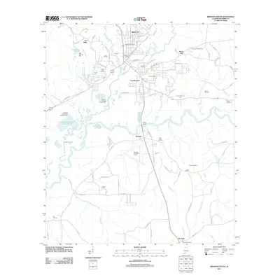 2011 Brewton South2011 Print · USGSCovers Brewton, including East Brewton, Riverview, and other nearby areas
 - 2011 Map of Brewton North, 2011 Print
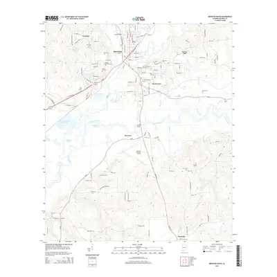
 2011 Brewton North2011 Print · USGSCovers Brewton, including Appleton, Kirkland, and other nearby areas
 - 2014 Map of Brewton North, 2014 Print
 2014 Brewton North2014 Print · USGSCovers Brewton, including Appleton, Kirkland, and other nearby areas
 - 2014 Map of Brewton South, 2014 Print
 2014 Brewton South2014 Print · USGSCovers Brewton, including East Brewton, Riverview, and other nearby areas
 - 2018 Map of Brewton North, 2018 Print
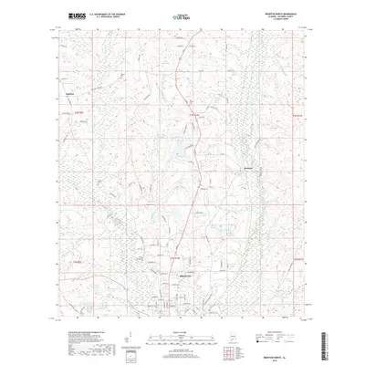 2018 Brewton North2018 Print · USGSCovers Brewton, including Appleton, Kirkland, and other nearby areas
 - 2018 Map of Brewton South, 2018 Print
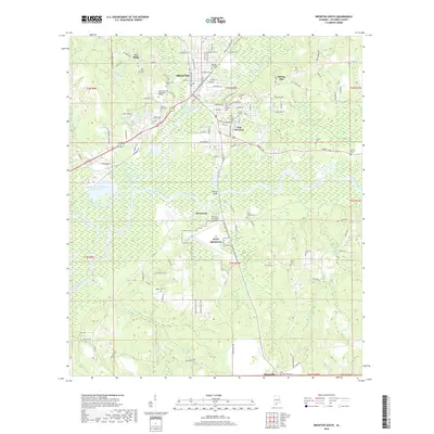 2018 Brewton South2018 Print · USGSCovers Brewton, including East Brewton, Riverview, and other nearby areas
 - 2020 Map of Brewton North, 2020 Print
 2020 Brewton North2020 Print · USGSCovers Brewton, including Appleton, Kirkland, and other nearby areas
 - 2020 Map of Brewton South, 2020 Print
 2020 Brewton South2020 Print · USGSCovers Brewton, including East Brewton, Riverview, and other nearby areas
 - 2024 Map of Brewton North, 2024 Print
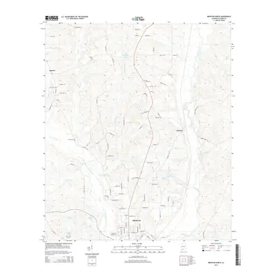
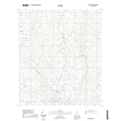
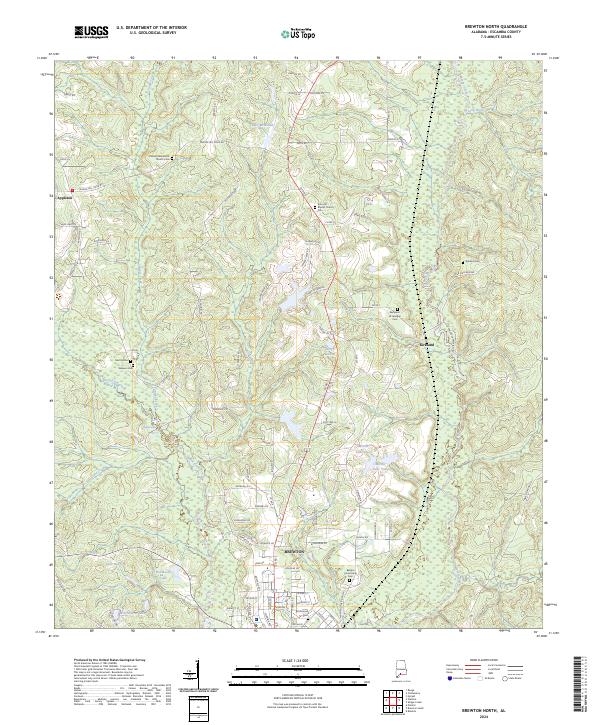 2024 Brewton North2024 Print · USGSEscambia County at the modern day shows a landscape shaped by creek systems and deeply rooted rural communities. Genealogists can trace family landmarks at Kirkland Cem, the Benjamin W Jernigan Cem, and the historic Appleton area.
 - 2024 Map of Brewton South, 2024 Print
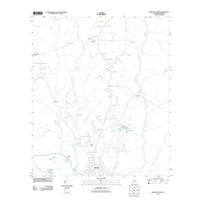
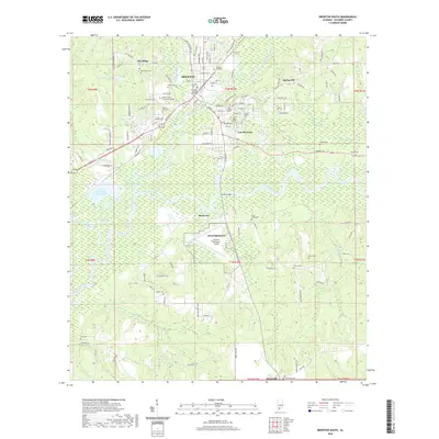
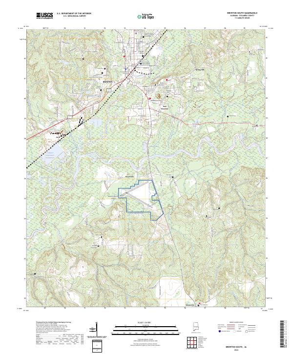 2024 Brewton South2024 Print · USGSThe confluence of the Conecuh River and Murder Creek defines the southern Escambia County landscape in the 2020s. Researchers can trace local lineage through Old Travis Cem, Baptist Hill Cem, and the numerous rural churches near Brewton.
End of results
Showing maps 1-10 of 10
Top cities near Brewton
- East Brewton historical maps
- Century historical maps
- Flomaton historical maps
- Jay historical maps
- Castleberry historical maps
- Riverview historical maps
See more
Frequently asked questions
- What are the different types of historical maps available for Brewton?
- What is the oldest map of Brewton?
- Where can I purchase historical maps of Brewton for my home or office?
- Where can I download high-res historical maps of Brewton?
- Are there historical topographic maps available for Brewton?
- Is there historical aerial imagery available for Brewton?
- Where are historical maps of Brewton sourced from?