2020s Maps of Coosa County, Alabama
Explore 30 historic maps of Coosa County from the 2020s. These maps offer a rare glimpse into what life looked like during the 2020s — showing old roads, neighborhoods, homes, and landmarks that have changed or disappeared over time.
Whether you're researching your family's past, planning a metal detecting trip, or studying how Coosa County's landscape evolved across the 2020s, these high-resolution maps are a powerful tool for exploring the history of this region.
- Focus on a specific era: All maps on this page are from the 2020s, giving you a focused view of this time period.
- See what’s changed: Compare century-old streets, trails, and buildings to today's modern landscape using overlays and satellite layers.
- Research with precision: Use these maps for genealogy, historical research, land use analysis, or educational projects.
- View, download, or print: Maps are fully viewable online in high resolution, and can be downloaded or printed for your own records.
Start exploring Coosa County's history through authentic maps from the 2020s. This is your window into the past.
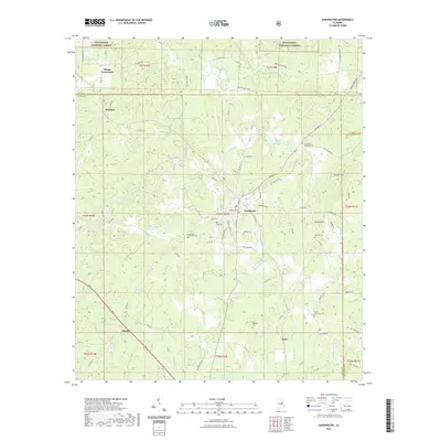
Coosa County, AL maps
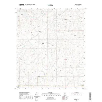
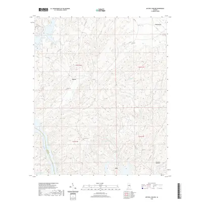
(30)- 2020 Map of Our Town, 2020 Print
 2020 Our Town2020 Print · USGSCovers Coosa County, including Alexander City, Our Town, and other nearby areas
 - 2020 Map of Richville, 2020 Print
 2020 Richville2020 Print · USGSCovers Coosa County, including Schley, Kellys Crossroads, and other nearby areas
 - 2020 Map of Kellyton, 2020 Print
 2020 Kellyton2020 Print · USGSCovers Coosa County, including Alexander City, Nixburg, and other nearby areas
 - 2020 Map of Rockford SW, 2020 Print
 2020 Rockford SW2020 Print · USGSCovers Coosa County, including Rockford, Pentonville, and other nearby areas
 - 2020 Map of Lay Dam, 2020 Print
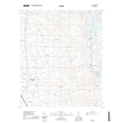 2020 Lay Dam2020 Print · USGSCovers Coosa County, including Clanton, Gap of the Mountain, and other nearby areas
 - 2020 Map of Rockford, 2020 Print
 2020 Rockford2020 Print · USGSCovers Coosa County, including Rockford, Hissop, and other nearby areas
 - 2020 Map of Equality, 2020 Print
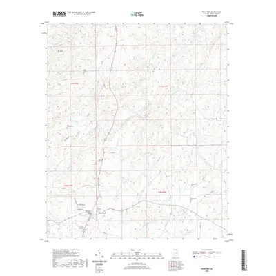
 2020 Equality2020 Print · USGSCovers Coosa County, including Nixburg, Cottage Grove, and other nearby areas
 - 2020 Map of Flag Mountain, 2020 Print
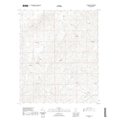 2020 Flag Mountain2020 Print · USGSCovers Coosa County, including Bentleyville, Hillwood, and other nearby areas
 - 2020 Map of Mitchell Dam NW, 2020 Print
 2020 Mitchell Dam NW2020 Print · USGSCovers Coosa County, including Sehoya, Dollar, and other nearby areas
 - 2020 Map of Mitchell Dam, 2020 Print
 2020 Mitchell Dam2020 Print · USGSCovers Coosa County, including Elmore County, Chilton County, and other nearby areas
 - 2020 Map of Weogufka, 2020 Print
 2020 Weogufka2020 Print · USGSCovers Coosa County, including Sylacauga, Weogufka, and other nearby areas
 - 2020 Map of Shelby, 2020 Print
 2020 Shelby2020 Print · USGSCovers Coosa County, including Shelby, Dogwood Point, and other nearby areas
 - 2020 Map of Talladega Springs, 2020 Print
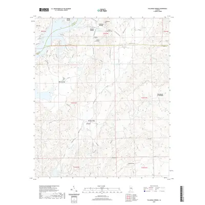 2020 Talladega Springs2020 Print · USGSCovers Coosa County, including Talladega Springs, Blue Springs, and other nearby areas
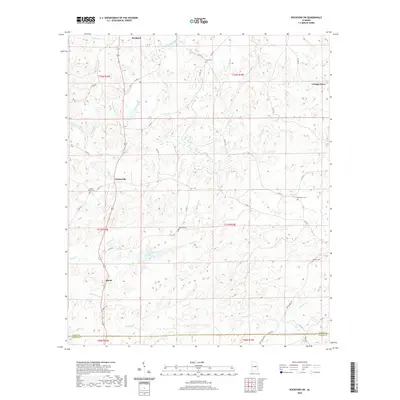
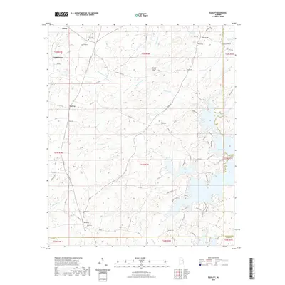
 - 2021 Map of Goodwater, 2021 Print
 2021 Goodwater2021 Print · USGSCovers Coosa County, including Goodwater, Hatchet, and other nearby areas
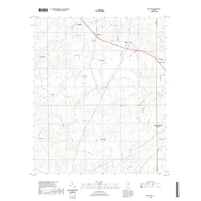
 - 2021 Map of Hollins, 2021 Print
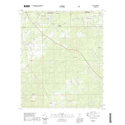 2021 Hollins2021 Print · USGSCovers Coosa County, including Sylacauga, Stewartville, and other nearby areas
 - 2024 Map of Weogufka, 2024 Print
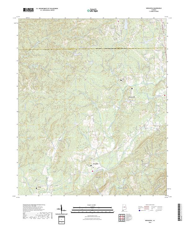 2024 Weogufka2024 Print · USGSCoosa County’s rolling southern Appalachian foothills are documented here in the early twenty-first century as they appear near the Talladega County line. Researchers can locate family landmarks like Stewarts Cem and Grimes Chapel Cem, or trace the path of the Pinhoti Trl through the Weogufka Mountains.
 - 2024 Map of Flag Mountain, 2024 Print
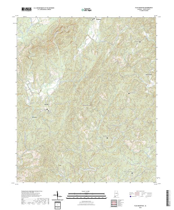 2024 Flag Mountain2024 Print · USGSCoosa County’s rolling hills and mountains appear in sharp detail during the early 2020s. Researchers can trace family lines through numerous sites like Old Mount Moriah Cem, Salem Baptist Church Cem, and the community of Weogufka.
 - 2024 Map of Our Town, 2024 Print
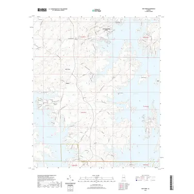
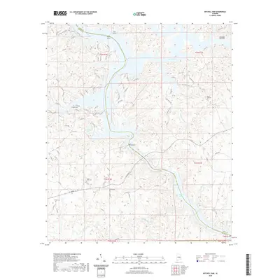
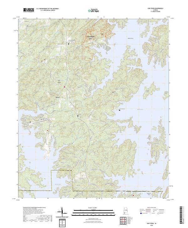 2024 Our Town2024 Print · USGSThe Tallapoosa County lakefront is shown in modern detail, where the rising waters of Martin Lake have shaped a landscape of peninsulas and islands. Researchers can trace local heritage through numerous burial sites like Friendship Cem and Mask Cem near the settlement of Our Town.
 - 2024 Map of Shelby, 2024 Print
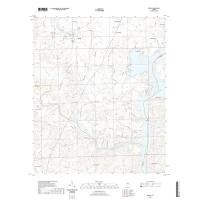
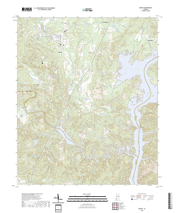 2024 Shelby2024 Print · USGSShelby County and the Coosa River come alive in this contemporary record of the area near Shelby. Genealogists and local historians can locate several family landmarks and burial sites, including the Old Shelby Cem, Brasher Cem, and Mostellers.
 - 2024 Map of Hollins, 2024 Print
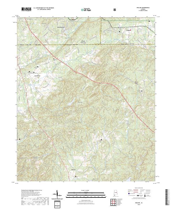 2024 Hollins2024 Print · USGSThe foothills of the southern Appalachians come alive in this contemporary record of Clay and Coosa counties. Genealogists and local historians can trace the rural landscape through a dense concentration of legacy sites like Macedonia Cem and Hollins Springs Cem.
 - 2024 Map of Goodwater, 2024 Print
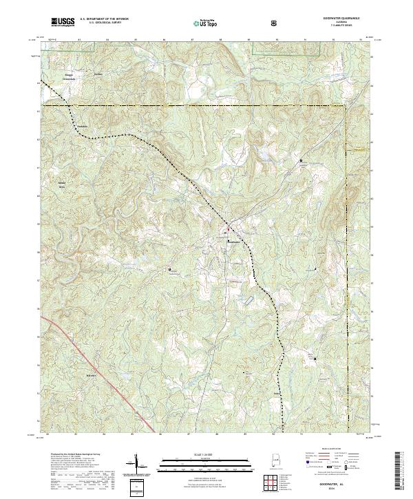 2024 Goodwater2024 Print · USGSCoosa County at the start of the 2020s shows a landscape of forest reserves and established rural townships. Genealogists can trace several local burial grounds including Smyrna Cem and Old Marietta Cem near the town of Goodwater.
 - 2024 Map of Talladega Springs, 2024 Print
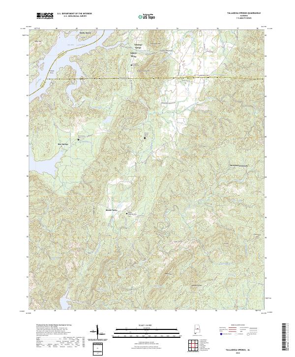 2024 Talladega Springs2024 Print · USGSThe Talladega and Coosa county borderlands are shown here in the contemporary era, centered on the river-fed communities and mineral springs. Researchers can locate family sites and river crossings such as Talladega Springs Cem, Marble Valley, and the historic McGees Ferry.
 - 2024 Map of Rockford SW, 2024 Print
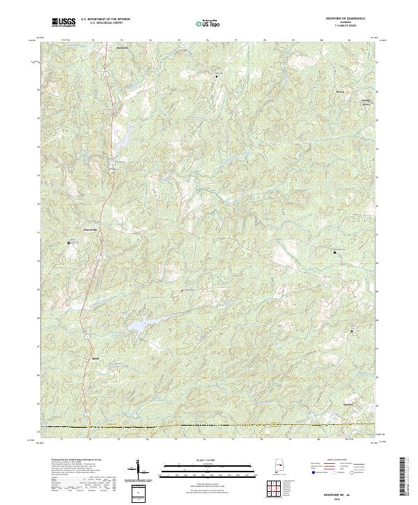 2024 Rockford SW2024 Print · USGSCoosa County’s rolling landscape is shown here in the 2020s, centered on rural communities like Pentonville and Rockford. Researchers can locate several historic burial sites, including Shady Grove Cem and Concord Cem, alongside the winding course of Weoka Creek.
 - 2024 Map of Rockford, 2024 Print
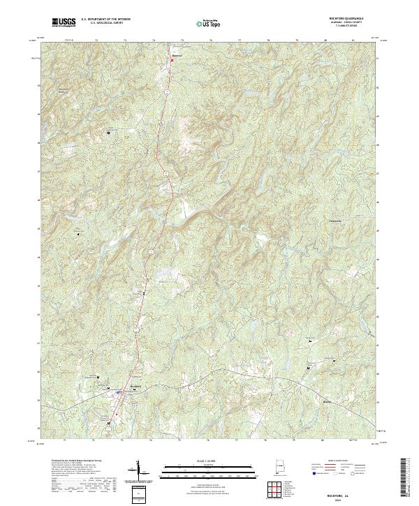 2024 Rockford2024 Print · USGSRockford and the surrounding Coosa County hills are documented here in recent detail, showing the rural character of central Alabama. Genealogists can trace family roots through numerous sites like Miller Patterson Cem, Sears Chapel Cem, and the Coosa County Courthouse.
 - 2024 Map of Equality, 2024 Print
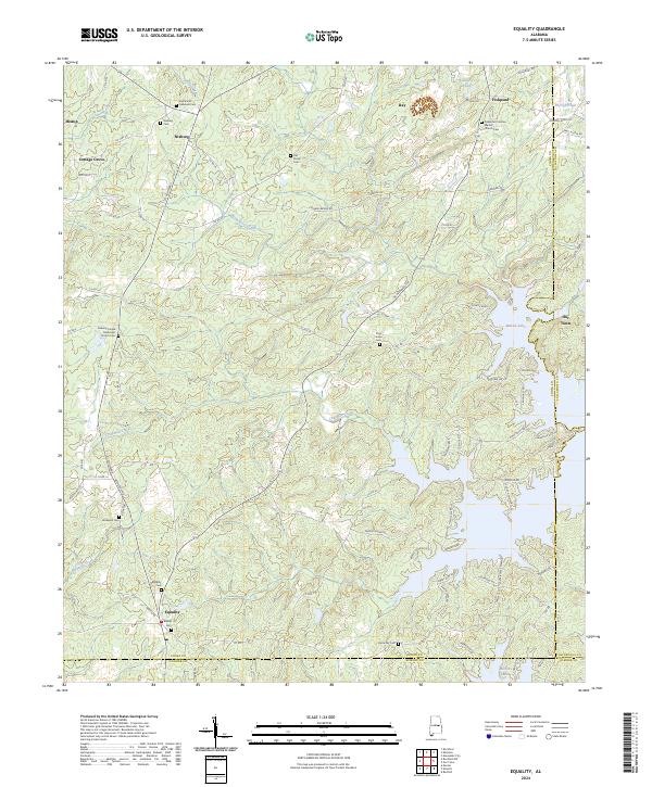 2024 Equality2024 Print · USGSThe rural crossroads of Coosa County are documented here in the early twenty-first century, centered on the tri-county junction at Equality. Researchers can trace numerous family burial grounds and congregations, from Old Shiloh Cem to the Bethesda Cem and Harmony Cem.
Showing maps 1-25 of 30
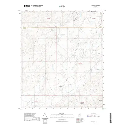
Top cities of Coosa County
- Stewartville historical maps
- Goodwater historical maps
- Rockford historical maps
- Nixburg historical maps
- Ray historical maps
- Mount Olive historical maps
See more
Frequently asked questions
- What are the different types of historical maps available for Coosa County?
- What is the oldest map of Coosa County?
- Where can I purchase historical maps of Coosa County for my home or office?
- Where can I download high-res historical maps of Coosa County?
- Are there historical topographic maps available for Coosa County?
- Is there historical aerial imagery available for Coosa County?
- Where are historical maps of Coosa County sourced from?