Old Maps of Bentleyville, Alabama
Explore 13 old maps of Bentleyville, spanning from 1901 to today. These high-resolution historic maps reveal how streets, neighborhoods, landmarks, and natural features evolved over time — perfect for genealogy, metal detecting, research, and local history exploration.
What you can do with these maps:
- See how Bentleyville changed over time: Compare historical maps to modern-day views to trace roads, homesites, rail lines & more.
- View detailed metadata: Each map includes creators, publishers, year, scale, and archive source.
- Overlay maps with satellite & LiDAR: Visualize the past alongside modern tools to explore terrain & human change.
- Trusted historical sources: Maps sourced from the USGS, Library of Congress, and other archives.
- Access maps your way: View online, download high-res files, or order prints for personal or research use.
Start exploring old maps of Bentleyville to uncover forgotten places, hidden landmarks, and the deep history beneath your feet.
Bentleyville, AL maps
(13)- 1901 Map of Wetumpka
 1901 Wetumpka1901 Print · USGSCentral Alabama at the dawn of the twentieth century was a landscape of river ferries and emerging rail lines. Genealogists and local historians can trace family-named river crossings like Knights Ferry and Nobles Ferry or early community centers such as Nixburg and Eclectic.
 - 1903 Map of Wetumpka
 1903 Wetumpka1903 Print · USGSCentral Alabama at the turn of the century remains a landscape of river ferries and emerging rail lines along the Coosa River. Genealogists and researchers can trace the early locations of Sykes Mills, Liberty Church, and river crossings like Nobles Ferry.3 unique versions available
 - 1953 Map of Montgomery, 1964 Print
 1953 Montgomery1964 Print · USGSCentral Alabama's river-and-rail corridor is mapped here in the mid-fifties, showing the vital connections between the capital and the Black Belt. Genealogists and historians can trace rail depots and crossroads from Marion Junction to Wetumpka, alongside landmarks like Craig AFB.4 unique versions available
 - 1956 Map of Montgomery
 1956 Montgomery1956 Print · USGSCentral Alabama in the mid-1950s shows a landscape defined by its great river systems and a booming military aviation presence. Genealogists and historians can trace the rail corridors of the Southern Railway and locate tactical bases like Maxwell AFB and Craig AFB.
 - 1957 Map of Montgomery
 1957 Montgomery1957 Print · USGSCentral Alabama in the mid-fifties is defined by the winding Alabama River and a strategic network of military bases and rail lines. Trace family roots in Montgomery and Selma, or locate landmarks like Craig AFB and the State Capitol before the interstate era.
 - 1971 Map of Flag Mountain, 1973 Print
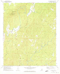 1971 Flag Mountain1973 Print · USGSCoosa County in the early seventies remains a landscape of high timbered ridges and winding creek bottoms. Genealogists can trace family footprints through rural centers like Moriah and Bentleyville or locate quiet landmarks like Old Union Cem and Tyler Ford.2 unique versions available
 - 1986 Map of Clanton
 1986 Clanton1986 Print · USGSCentral Alabama’s river-driven landscape is captured here in the mid-eighties, centered on the growth of Clanton and the hydroelectric lakes of the Coosa River. Genealogists and historians can trace the Old Indian Treaty Boundary or locate landmarks like Sykes Mill and Collins Chapel.
 - 1987 Map of Clanton, 1990 Print
 1987 Clanton1990 Print · USGSCentral Alabama in the late eighties reveals a landscape of massive river reservoirs and forest reserves. Trace the rail-and-road corridors through Clanton and Wetumpka to find historic sites like Fort Toulouse and Collins Chapel.
 - 2011 Map of Flag Mountain, 2011 Print
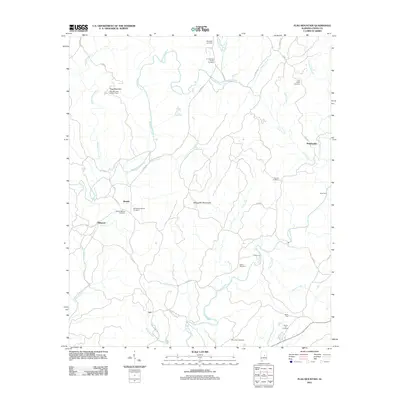 2011 Flag Mountain2011 Print · USGSCoosa County’s high ridges and creek valleys are documented here during the early twenty-first century, centered on the Flag Mountain area. Genealogists can trace family landmarks like the O J Mooney Family Cemetery or the historic Flag Mountain Lookout Tower.
 - 2014 Map of Flag Mountain, 2014 Print
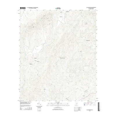 2014 Flag Mountain2014 Print · USGSCoosa County’s rolling timberlands and creek valleys are documented here during the early twenty-first century. Researchers can trace family history through numerous burial sites like O J Mooney Family Cem and explore small communities such as Moriah and Bentleyville.
 - 2018 Map of Flag Mountain, 2018 Print
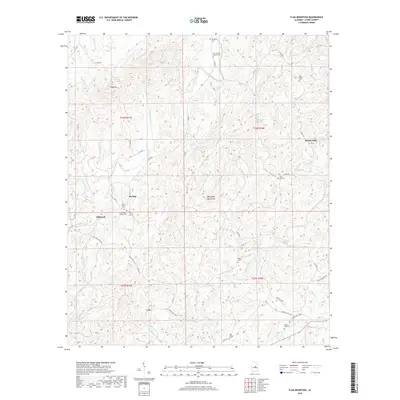 2018 Flag Mountain2018 Print · USGSCoosa County, Alabama, is documented here in the late twenty-teens, showcasing a landscape of high ridges and rural settlements. Genealogists and local historians can trace family locations near Bentleyville, Lyle, and the O J Mooney Family Cem.
 - 2020 Map of Flag Mountain, 2020 Print
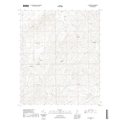 2020 Flag Mountain2020 Print · USGSCoosa County’s high ridges and quiet hollows are captured here during the 2020s, showing the intersection of outdoor recreation and deep-rooted family history. Local researchers can trace ancestral ties at the O J Mooney Family Cem or Bell Rattle Cem while following the path of the Pinhoti Trail.
 - 2024 Map of Flag Mountain, 2024 Print
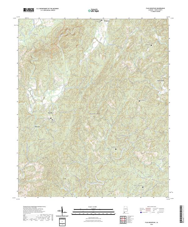 2024 Flag Mountain2024 Print · USGSCoosa County’s rolling hills and mountains appear in sharp detail during the early 2020s. Researchers can trace family lines through numerous sites like Old Mount Moriah Cem, Salem Baptist Church Cem, and the community of Weogufka.
End of results
Showing maps 1-13 of 13
Top cities near Bentleyville
- Sylacauga historical maps
- Stewartville historical maps
- Fayetteville historical maps
- Goodwater historical maps
- Oak Grove historical maps
- Hollins historical maps
See more
Frequently asked questions
- What are the different types of historical maps available for Bentleyville?
- What is the oldest map of Bentleyville?
- Where can I purchase historical maps of Bentleyville for my home or office?
- Where can I download high-res historical maps of Bentleyville?
- Are there historical topographic maps available for Bentleyville?
- Is there historical aerial imagery available for Bentleyville?
- Where are historical maps of Bentleyville sourced from?