Old Maps of Libertyville, Alabama for Academic Research
Study the evolution of Libertyville with 15 high-resolution historic maps. Whether you're teaching, researching, or modeling changes in land use, these maps provide essential visual documentation of urban, environmental, and geographic change.
- Analyze long-term change: Track patterns in development, transportation, and natural features.
- Ideal for environmental or urban studies: Support academic projects with primary historical map data.
- Use in the classroom or lab: Educators and researchers rely on these maps to bring historical context to life.
These maps are a powerful tool for teaching, research, and visualizing how Libertyville has changed over the decades.
Libertyville, AL maps
(15)- 1953 Map of Andalusia, 1965 Print
 1953 Andalusia1965 Print · USGSSouth Alabama in the mid-twentieth century remains a land of pine forests and river-fed settlements. You can trace the vital rail corridors of the Louisville & Nashville and locate regional centers such as Andalusia, Brewton, and Monroeville.3 unique versions available
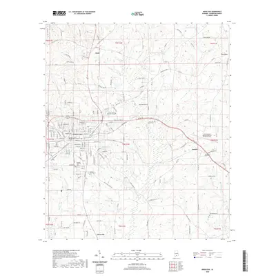
 - 1957 Map of Andalusia
 1957 Andalusia1957 Print · USGSSouthern Alabama in the mid-1950s was a landscape defined by timbered stretches and the rhythmic flow of the Alabama River. Researchers can trace the legacy of the rail era through the Central of Georgia tracks and the storied river bluffs at Choctaw Bluff.
 - 1971 Map of Libertyville, 1973 Print
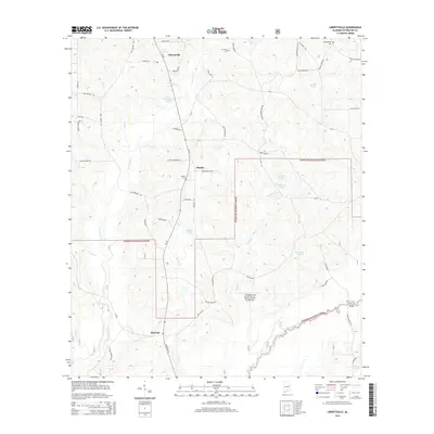
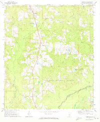 1971 Libertyville1973 Print · USGSCovington County is seen here in the early 1970s as a quiet expanse of timberland and small crossroads communities bordering the national forest. Researchers can locate family-named landmarks and rural congregations like Stanley, Judson Ch, and the Yellow River Lookout Tower.
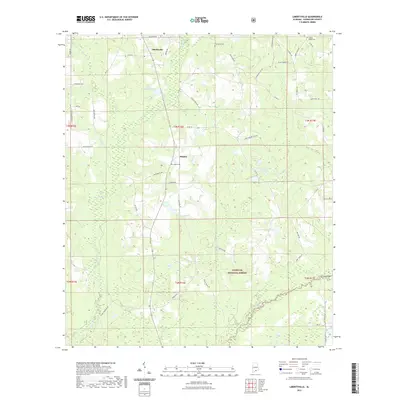
 - 1971 Map of Andalusia, 1973 Print
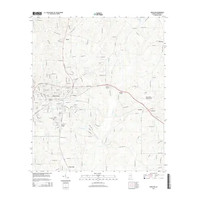
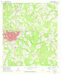 1971 Andalusia1973 Print · USGSCovington County in the early seventies centers on the bustling rail junction and academic institutions of Andalusia. Local historians can trace the paths of the Central of Georgia railroad or locate family sites at Bethany Ch, Magnolia Cem, and the Montezuma Academy.2 unique versions available
 - 1986 Map of Andalusia
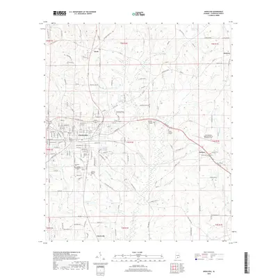
 1986 Andalusia1986 Print · USGSCovington County and the Wiregrass region are shown here in the mid-1980s, centered on the growing hubs of Andalusia and Opp. Genealogists and local historians can trace legacy sites like the Old Pioneer Cem, Straughn Sch, and the rail lines of the Louisville and Nashville RR.2 unique versions available
 - 2011 Map of Libertyville, 2011 Print
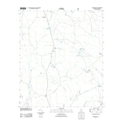 2011 Libertyville2011 Print · USGSCovers Libertyville, including Red Oak, Stanley, and other nearby areas
 - 2011 Map of Andalusia, 2011 Print
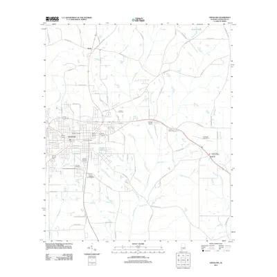 2011 Andalusia2011 Print · USGSCovers Libertyville, including Andalusia, Sanford, and other nearby areas
 - 2014 Map of Libertyville, 2014 Print
 2014 Libertyville2014 Print · USGSCovers Libertyville, including Red Oak, Stanley, and other nearby areas
 - 2014 Map of Andalusia, 2014 Print
 2014 Andalusia2014 Print · USGSCovers Libertyville, including Andalusia, Sanford, and other nearby areas
 - 2018 Map of Andalusia, 2018 Print
 2018 Andalusia2018 Print · USGSCovers Libertyville, including Andalusia, Sanford, and other nearby areas
 - 2018 Map of Libertyville, 2018 Print
 2018 Libertyville2018 Print · USGSCovers Libertyville, including Red Oak, Stanley, and other nearby areas
 - 2020 Map of Andalusia, 2020 Print
 2020 Andalusia2020 Print · USGSCovers Libertyville, including Andalusia, Sanford, and other nearby areas
 - 2021 Map of Libertyville, 2021 Print
 2021 Libertyville2021 Print · USGSCovers Libertyville, including Red Oak, Stanley, and other nearby areas
 - 2024 Map of Andalusia, 2024 Print
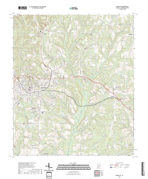 2024 Andalusia2024 Print · USGSAndalusia and its neighboring Covington County communities are captured here in the early twenty-first century as the region maintains its role as a local hub. Genealogists can trace family records across numerous sites like Magnolia Cem, Southside Cem, and Heath Church of Christ Cem.
 - 2024 Map of Libertyville, 2024 Print
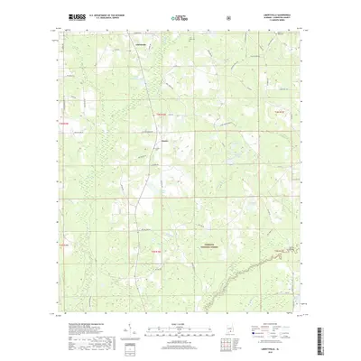
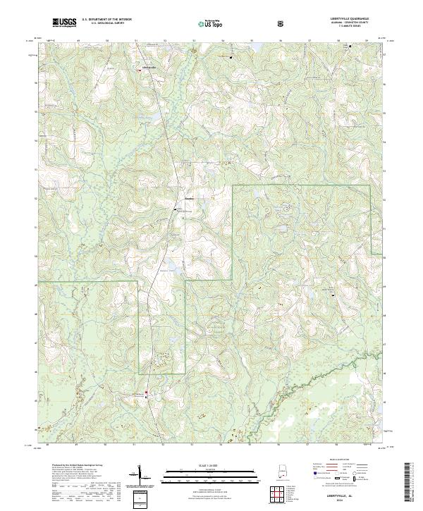 2024 Libertyville2024 Print · USGSCovington County's rural landscape is detailed here in the 2020s, showing the intersection of local farm life and the Conecuh National Forest. Researchers can trace family history through several sites including Judson Baptist Church Cem and the settlement of Stanley.
End of results
Showing maps 1-15 of 15
Top cities near Libertyville
- Andalusia historical maps
- Opp historical maps
- Florala historical maps
- Babbie historical maps
- River Falls historical maps
- Lockhart historical maps
See more
Frequently asked questions
- What are the different types of historical maps available for Libertyville?
- What is the oldest map of Libertyville?
- Where can I purchase historical maps of Libertyville for my home or office?
- Where can I download high-res historical maps of Libertyville?
- Are there historical topographic maps available for Libertyville?
- Is there historical aerial imagery available for Libertyville?
- Where are historical maps of Libertyville sourced from?