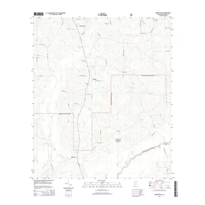
2014 Map of Libertyville
USGS Topo · Published 2014About this map
The Yellow River cuts through the southeastern corner of this terrain, anchoring a landscape defined by the expansive Conecuh National Forest. The 2014 survey reveals a transition from the agricultural holdings around Libertyville and Stanley in the north to the protected timberlands of the south. Water is a defining element throughout, from the named Five Runs Creek and Poplar Creek to small family-associated water bodies like Maddox Ponds and Little Okeechobee Pond.
Find a feature on this map
63 named features on this map. Tap any name to fly to it.
Don’t see what you’re looking for? This feature index may not catch every label — zoom into the map to look around manually.
Map Details
Editions of this 2014 Libertyville Map
This is the sole edition of this map. No revisions or reprints were ever made.
Other maps of this area

1953 · Andalusia
USGS Topo · 1:250,000

1957 · Andalusia
USGS Topo · 1:250,000

1971 · Carolina
USGS Topo · 1:24,000

1971 · Libertyville
USGS Topo · 1:24,000

1971 · Onycha
USGS Topo · 1:24,000

1971 · Wing
USGS Topo · 1:24,000

1971 · River Falls
USGS Topo · 1:24,000

1971 · Andalusia
USGS Topo · 1:24,000
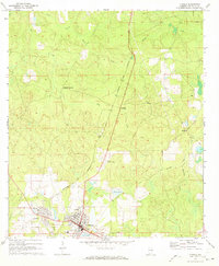
1971 · Florala
USGS Topo · 1:24,000
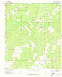
1971 · Watkins Bridge
USGS Topo · 1:24,000