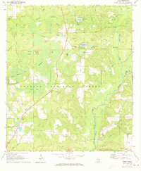
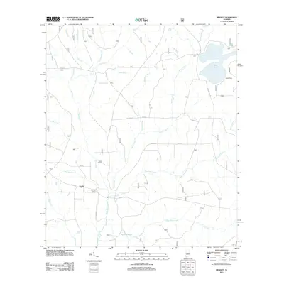
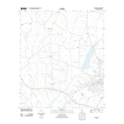
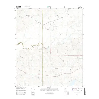
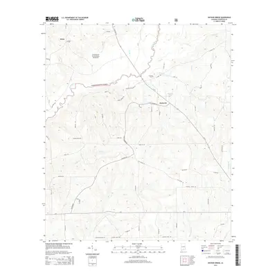
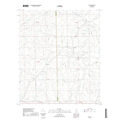
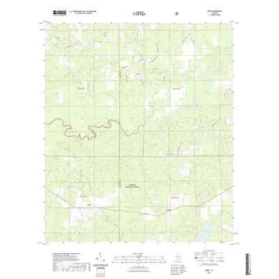
1971 Map of Wing
USGS Topo · Published 1973About this map
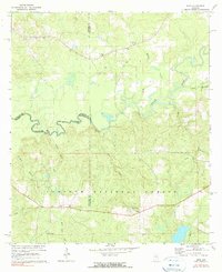
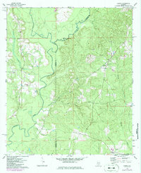
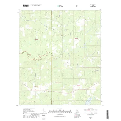
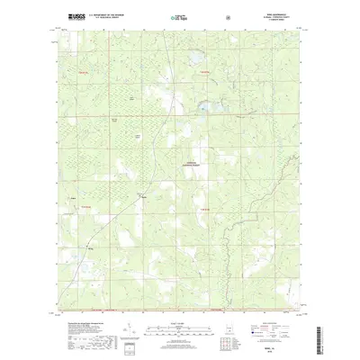
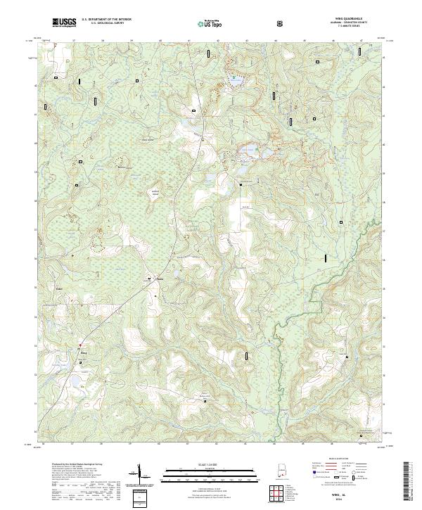
Conecuh National Forest dominates this section of southern Alabama, where a network of bays and ponds defines the low-lying landscape during the early 1970s. The settlement at Falco sits at the western edge of the forest, accompanied by Falco Ch, while the community of Wing occupies the southwestern corner near Big Horse Creek. The terrain is notably water-heavy, featuring numerous named depressions like Blue Pond, Alligator Pond, and Yellow Hill Pond. In the heart of the forest, the Open Pond Lookout Tower and nearby Campground indicate a landscape managed for both timber and recreation. This survey captures the transition between the pine flatwoods and the winding course of the Yellow River, which snakes through the eastern half of the map below Givens Bridge. Rural life is anchored by several country churches, including Zion Rock Ch and Mt Hermon Ch, providing clear points of reference for genealogists.
Find a feature on this map
44 named features on this map. Tap any name to fly to it.
Don’t see what you’re looking for? This feature index may not catch every label — zoom into the map to look around manually.
Map Details
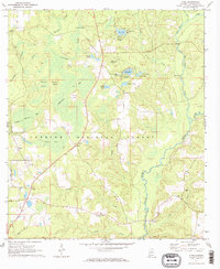
Editions of this 1971 Wing Map
2 editions found
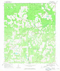
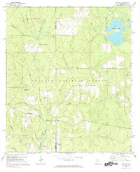
Historical Maps of Beda Through Time
42 maps found
1969 Hacoda
Covington County, AL
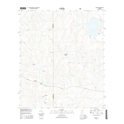
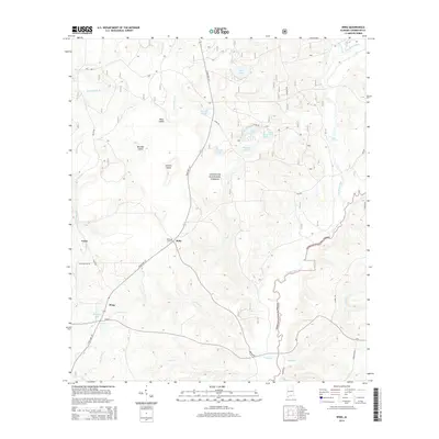
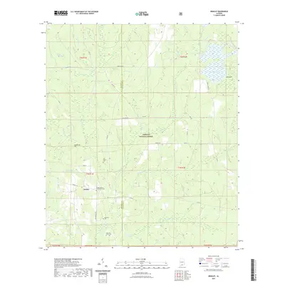
1971 Bradley
Covington County, AL
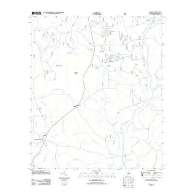
1971 Dixie
Covington County, AL
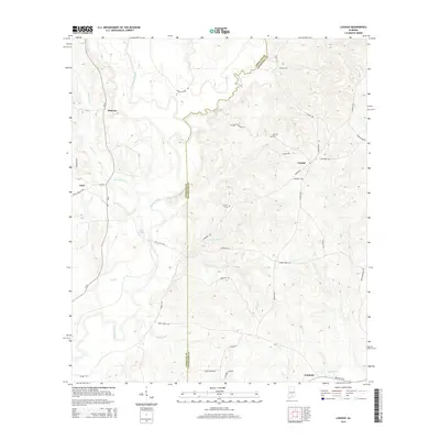
1971 Loango
Covington County, AL
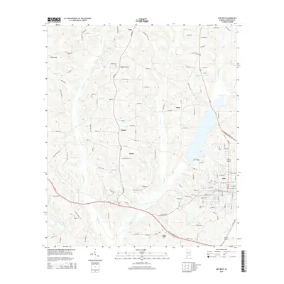
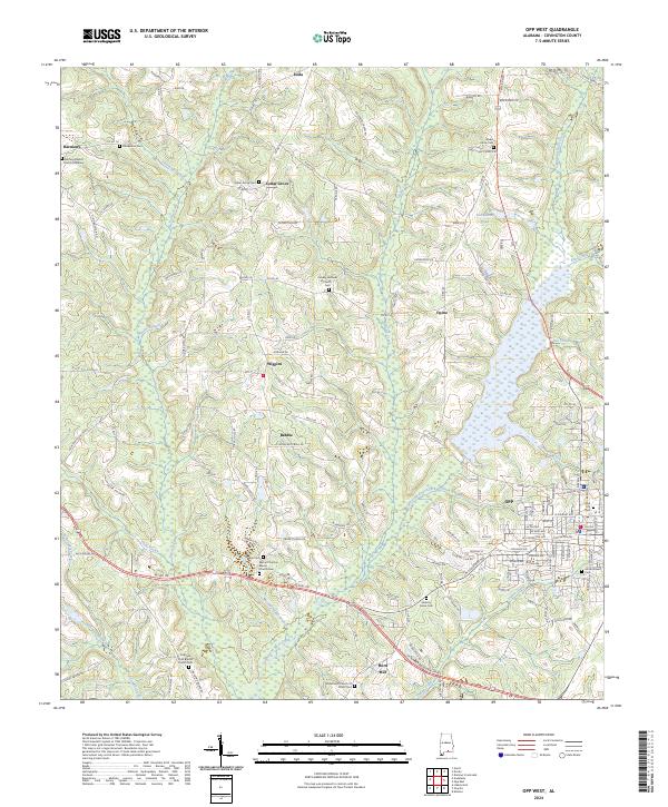
1971 Opp West
Covington County, AL
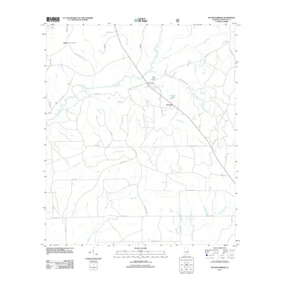
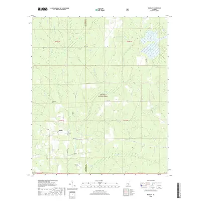
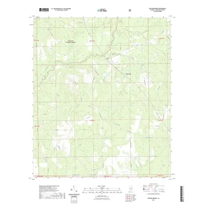
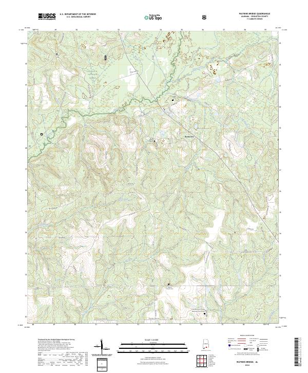
1971 Watkins Bridge
Covington County, AL
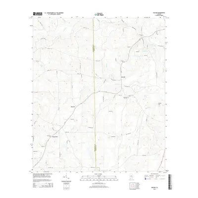
1971 Wing
Covington County, AL
2011 Bradley
Covington County, AL
2011 Dixie
Covington County, AL
2011 Hacoda
Covington County, AL
2011 Loango
Covington County, AL
2011 Opp West
Covington County, AL
2011 Watkins Bridge
Covington County, AL
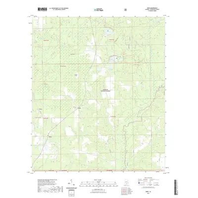
2011 Wing
Covington County, AL
2014 Bradley
Covington County, AL
2014 Dixie
Covington County, AL
2014 Hacoda
Covington County, AL
2014 Loango
Covington County, AL
2014 Opp West
Covington County, AL
2014 Watkins Bridge
Covington County, AL
2014 Wing
Covington County, AL
2018 Bradley
Covington County, AL
2018 Dixie
Covington County, AL
2018 Hacoda
Covington County, AL
2018 Loango
Covington County, AL
2018 Opp West
Covington County, AL
2018 Watkins Bridge
Covington County, AL
2018 Wing
Covington County, AL
2020 Hacoda
Covington County, AL
2020 Loango
Covington County, AL
2020 Opp West
Covington County, AL
2021 Bradley
Covington County, AL
2021 Dixie
Covington County, AL
2021 Watkins Bridge
Covington County, AL
2021 Wing
Covington County, AL
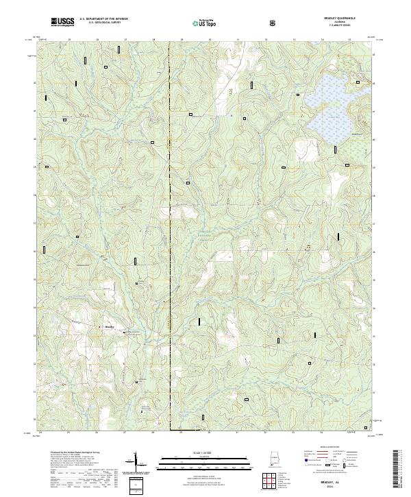
2024 Bradley
Covington County, AL
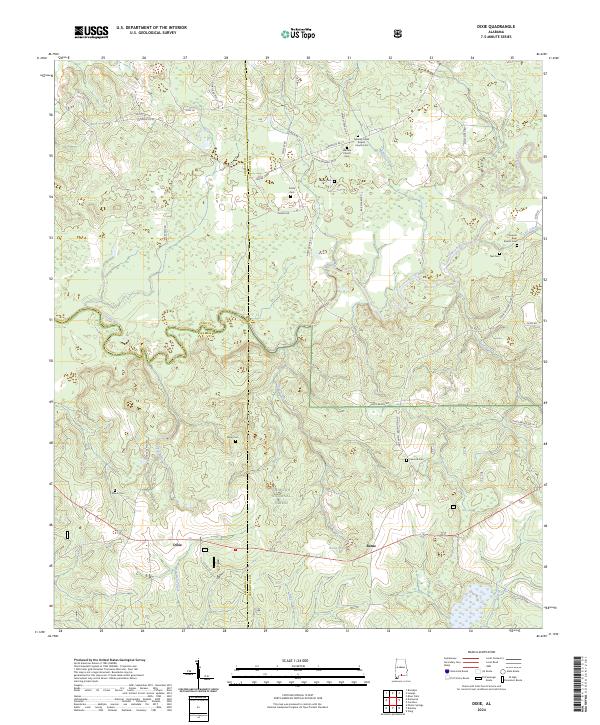
2024 Dixie
Covington County, AL
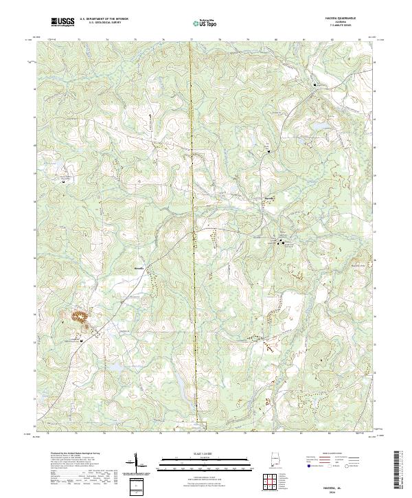
2024 Hacoda
Covington County, AL
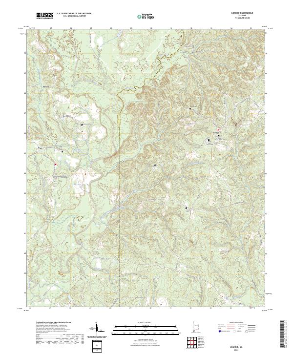
2024 Loango
Covington County, AL
2024 Opp West
Covington County, AL
2024 Watkins Bridge
Covington County, AL
2024 Wing
Covington County, AL