Old Maps of Weed Crossroad, Alabama for Academic Research
Study the evolution of Weed Crossroad with 9 high-resolution historic maps. Whether you're teaching, researching, or modeling changes in land use, these maps provide essential visual documentation of urban, environmental, and geographic change.
- Analyze long-term change: Track patterns in development, transportation, and natural features.
- Ideal for environmental or urban studies: Support academic projects with primary historical map data.
- Use in the classroom or lab: Educators and researchers rely on these maps to bring historical context to life.
These maps are a powerful tool for teaching, research, and visualizing how Weed Crossroad has changed over the decades.
Weed Crossroad, AL maps
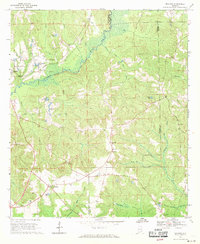
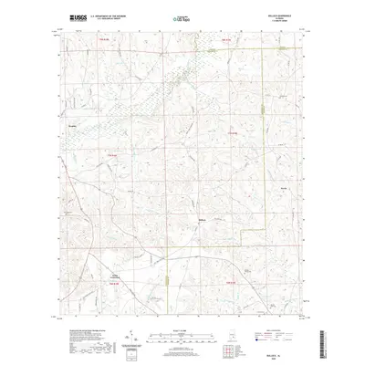
(9)- 1953 Map of Andalusia, 1965 Print
 1953 Andalusia1965 Print · USGSSouth Alabama in the mid-twentieth century remains a land of pine forests and river-fed settlements. You can trace the vital rail corridors of the Louisville & Nashville and locate regional centers such as Andalusia, Brewton, and Monroeville.3 unique versions available
 - 1957 Map of Andalusia
 1957 Andalusia1957 Print · USGSSouthern Alabama in the mid-1950s was a landscape defined by timbered stretches and the rhythmic flow of the Alabama River. Researchers can trace the legacy of the rail era through the Central of Georgia tracks and the storied river bluffs at Choctaw Bluff.
 - 1968 Map of Bullock, 1971 Print
 1968 Bullock1971 Print · USGSCrenshaw County is documented here in the late sixties as the timber and rail economy shaped the rural landscape. Genealogists and local historians can locate many rural landmarks including Mt Zion Ch, Oak Grove Cem, and the Central of Georgia line.
 - 1986 Map of Greenville
 1986 Greenville1986 Print · USGSMid-century South Central Alabama comes alive in this survey of the creek-laced timberlands and rail-dependent towns between the Gulf Coastal Plain and the Piedmont. Researchers can trace family roots through numerous country landmarks like Magnolia Cem, Spring Hill Ch, and the Butler County State Wildlife Management Area.2 unique versions available
 - 2011 Map of Bullock, 2011 Print
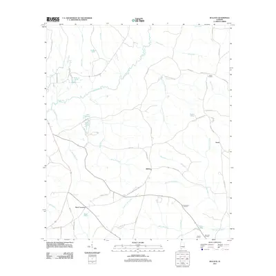 2011 Bullock2011 Print · USGSCovers Weed Crossroad, including Brantley, Bullock, and other nearby areas
 - 2014 Map of Bullock, 2014 Print
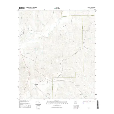 2014 Bullock2014 Print · USGSCovers Weed Crossroad, including Brantley, Bullock, and other nearby areas
 - 2018 Map of Bullock, 2018 Print
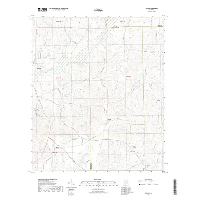 2018 Bullock2018 Print · USGSCovers Weed Crossroad, including Brantley, Bullock, and other nearby areas
 - 2020 Map of Bullock, 2020 Print
 2020 Bullock2020 Print · USGSCovers Weed Crossroad, including Brantley, Bullock, and other nearby areas
 - 2024 Map of Bullock, 2024 Print
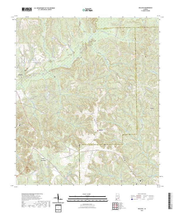 2024 Bullock2024 Print · USGSThe headwaters of the Pea River and Conecuh River systems meet here in the 2020s. Genealogists can trace legacy burial sites like Antioch Cem and Driskell Family Cem near the rural crossroads of Bullock and Newby.
End of results
Showing maps 1-9 of 9
Top cities near Weed Crossroad
- Troy historical maps
- Andalusia historical maps
- Opp historical maps
- Elba historical maps
- Luverne historical maps
- Brantley historical maps
See more
Frequently asked questions
- What are the different types of historical maps available for Weed Crossroad?
- What is the oldest map of Weed Crossroad?
- Where can I purchase historical maps of Weed Crossroad for my home or office?
- Where can I download high-res historical maps of Weed Crossroad?
- Are there historical topographic maps available for Weed Crossroad?
- Is there historical aerial imagery available for Weed Crossroad?
- Where are historical maps of Weed Crossroad sourced from?