2000s (21st Century) Maps of Nesmith, Alabama
Explore 7 historic maps of Nesmith from the 2000s (21st Century). These maps offer a rare glimpse into what life looked like during the 2000s — showing old roads, neighborhoods, homes, and landmarks that have changed or disappeared over time.
Whether you're researching your family's past, planning a metal detecting trip, or studying how Nesmith's landscape evolved across the 2000s, these high-resolution maps are a powerful tool for exploring the history of this region.
- Focus on a specific era: All maps on this page are from the 2000s, giving you a focused view of this time period.
- See what’s changed: Compare century-old streets, trails, and buildings to today's modern landscape using overlays and satellite layers.
- Research with precision: Use these maps for genealogy, historical research, land use analysis, or educational projects.
- View, download, or print: Maps are fully viewable online in high resolution, and can be downloaded or printed for your own records.
Start exploring Nesmith's history through authentic maps from the 2000s. This is your window into the past.
Nesmith, AL maps
(7)- 2000 Map of Jones Chapel, 2003 Print
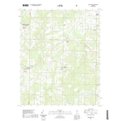
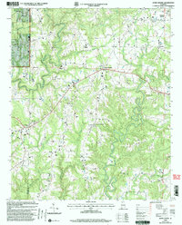 2000 Jones Chapel2003 Print · USGSThe Cullman County countryside at the turn of the millennium is revealed through its network of ridge-top settlements and creek valleys. Genealogists can locate family landmarks like Sardis Cemetery, New Hope Church, and the community of Jones Chapel.
 - 2011 Map of Jones Chapel, 2011 Print
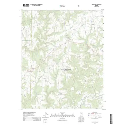
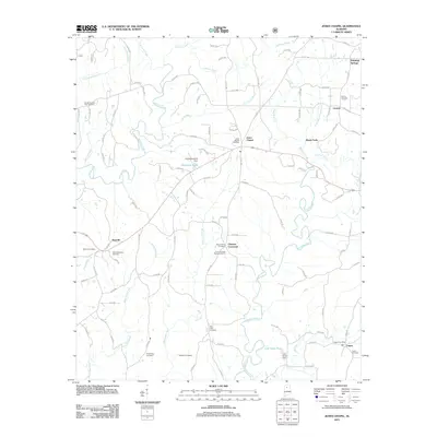 2011 Jones Chapel2011 Print · USGSCovers Nesmith, including Jones Chapel, Central, and other nearby areas
 - 2014 Map of Jones Chapel, 2014 Print
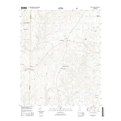 2014 Jones Chapel2014 Print · USGSCovers Nesmith, including Jones Chapel, Central, and other nearby areas
 - 2018 Map of Jones Chapel, 2018 Print
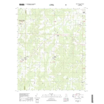 2018 Jones Chapel2018 Print · USGSCovers Nesmith, including Jones Chapel, Central, and other nearby areas
 - 2021 Map of Jones Chapel, 2021 Print
 2021 Jones Chapel2021 Print · USGSCovers Nesmith, including Jones Chapel, Central, and other nearby areas
 - 2024 Map of Jones Chapel, 2024 Print
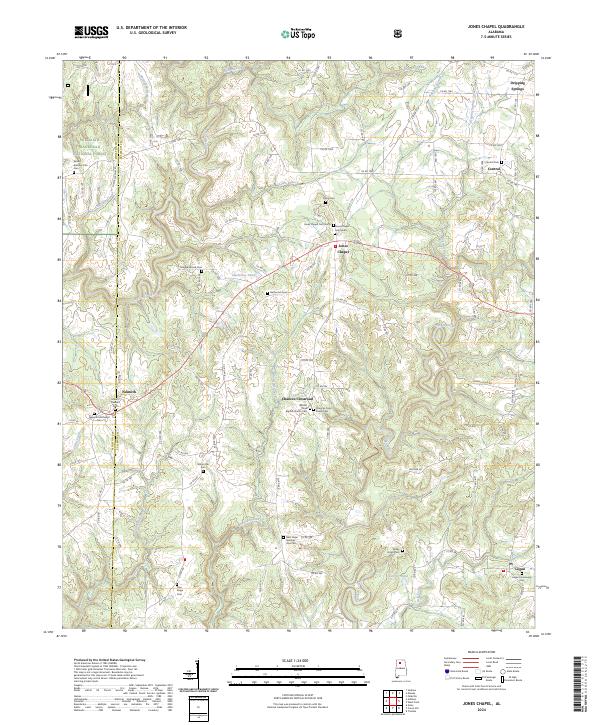 2024 Jones Chapel2024 Print · USGSThe Cullman County countryside at the edge of the national forest remains a landscape of quiet crossroads and historic family burial grounds. Researchers can trace local lineages through Logan Community Cem, the Nesmith Methodist Cem, and the waters of Sullivan Creek.
 - 2026 Map of Jones Chapel, 2026 Print
 2026 Jones Chapel2026 Print · USGSCovers Nesmith, including Jones Chapel, Central, and other nearby areas
End of results
Showing maps 1-7 of 7
Top cities near Nesmith
- Cullman historical maps
- Hartselle historical maps
- Good Hope historical maps
- Hayden historical maps
- Falkville historical maps
- Double Springs historical maps
See more
Frequently asked questions
- What are the different types of historical maps available for Nesmith?
- What is the oldest map of Nesmith?
- Where can I purchase historical maps of Nesmith for my home or office?
- Where can I download high-res historical maps of Nesmith?
- Are there historical topographic maps available for Nesmith?
- Is there historical aerial imagery available for Nesmith?
- Where are historical maps of Nesmith sourced from?