2020s Maps of South Vinemont, Alabama
Explore 12 historic maps of South Vinemont from the 2020s. These maps offer a rare glimpse into what life looked like during the 2020s — showing old roads, neighborhoods, homes, and landmarks that have changed or disappeared over time.
Whether you're researching your family's past, planning a metal detecting trip, or studying how South Vinemont's landscape evolved across the 2020s, these high-resolution maps are a powerful tool for exploring the history of this region.
- Focus on a specific era: All maps on this page are from the 2020s, giving you a focused view of this time period.
- See what’s changed: Compare century-old streets, trails, and buildings to today's modern landscape using overlays and satellite layers.
- Research with precision: Use these maps for genealogy, historical research, land use analysis, or educational projects.
- View, download, or print: Maps are fully viewable online in high resolution, and can be downloaded or printed for your own records.
Start exploring South Vinemont's history through authentic maps from the 2020s. This is your window into the past.
South Vinemont, AL maps
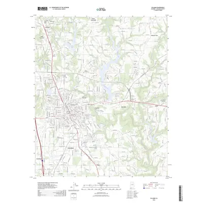
(12)- 2020 Map of Falkville, 2020 Print
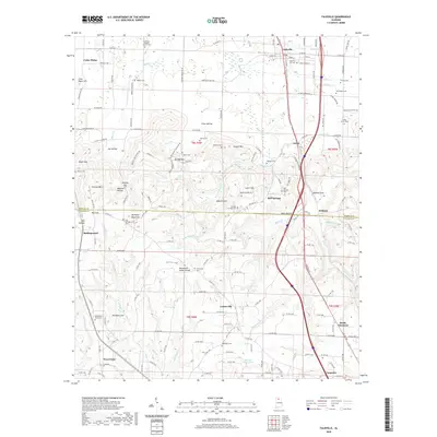 2020 Falkville2020 Print · USGSCovers South Vinemont, including Falkville, West Point, and other nearby areas
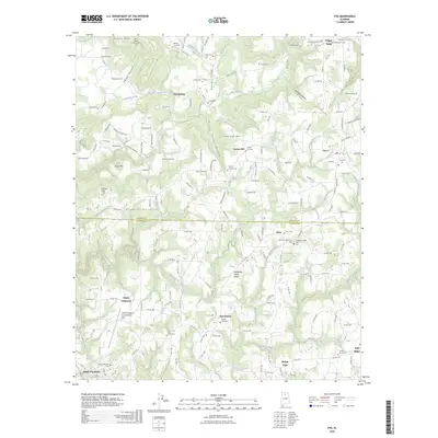
 - 2020 Map of Eva, 2020 Print
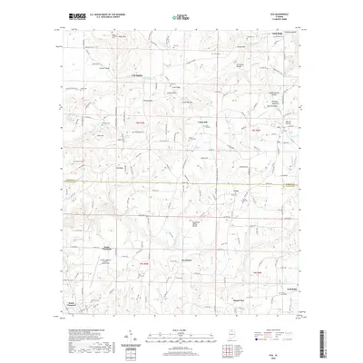 2020 Eva2020 Print · USGSCovers South Vinemont, including Cullman, Eva, and other nearby areas
 - 2020 Map of Cullman, 2020 Print
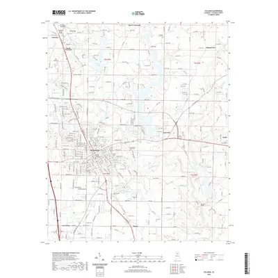 2020 Cullman2020 Print · USGSCovers South Vinemont, including Cullman, Good Hope, and other nearby areas
 - 2020 Map of West Point, 2020 Print
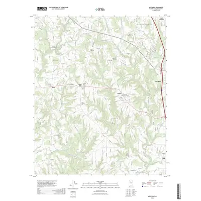
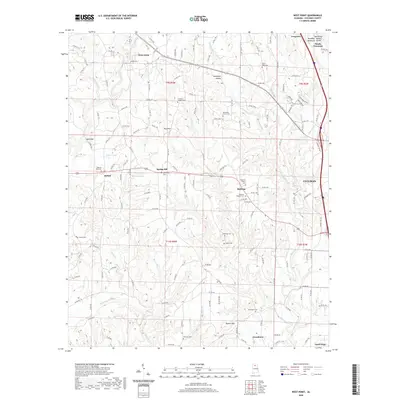 2020 West Point2020 Print · USGSCovers South Vinemont, including Cullman, Good Hope, and other nearby areas
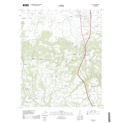
 - 2024 Map of West Point, 2024 Print
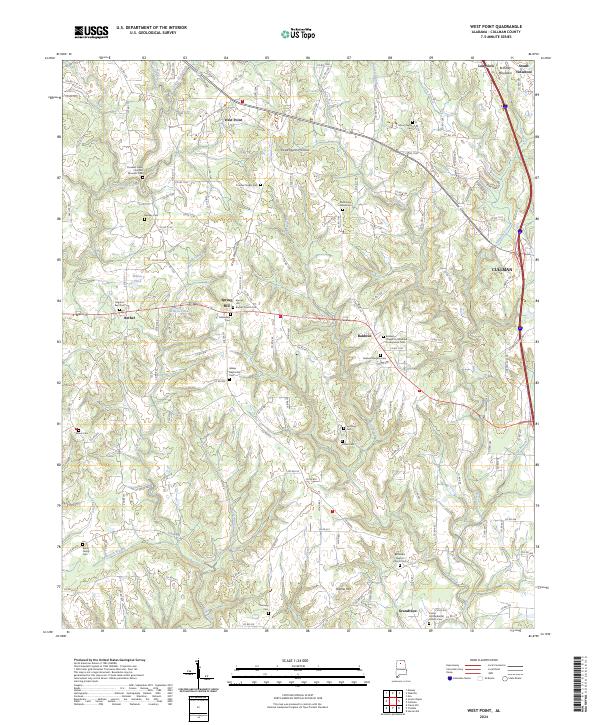 2024 West Point2024 Print · USGSNorthern Alabama’s plateau and valley landscape is captured in this survey, showing the rural communities near West Point and Cullman. Researchers can trace family roots through numerous sites like Mount Nebo Cem and Burch Family Cem.
 - 2024 Map of Eva, 2024 Print
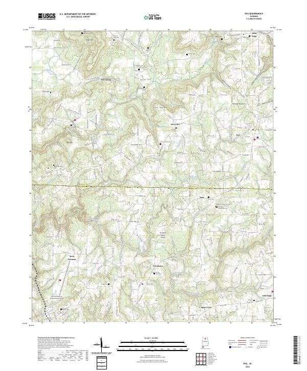 2024 Eva2024 Print · USGSThe Morgan and Cullman County line runs through this north Alabama landscape in 2024, centered on the community of Eva. Researchers can trace generations of families at Hamby's Chapel Cem West, Negro Mountain Cem, and the Stinson Gravesite.
 - 2024 Map of Cullman, 2024 Print
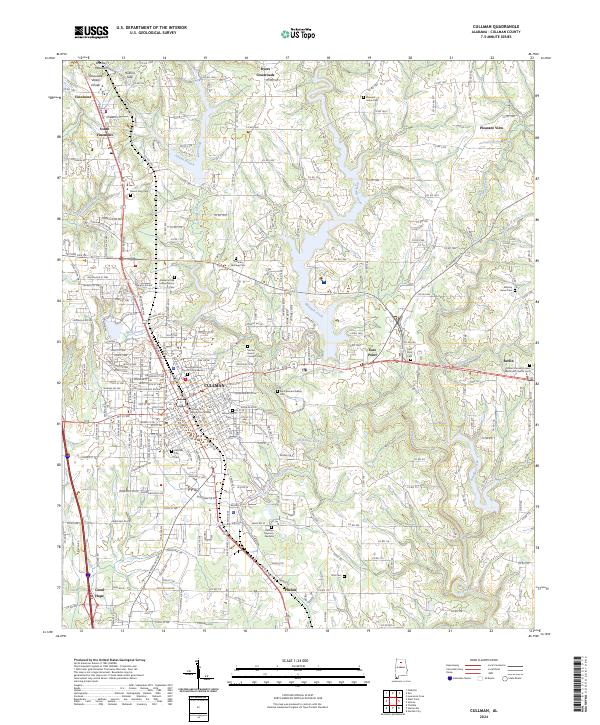 2024 Cullman2024 Print · USGSCullman and its surrounding plateau communities are captured here in the early 2020s, showcasing the high-elevation terrain of Brindley Mountain. Researchers can trace local heritage through numerous sites like the Saint Bernard Abbey Cem and the Cullman County Courthouse.
 - 2024 Map of Falkville, 2024 Print
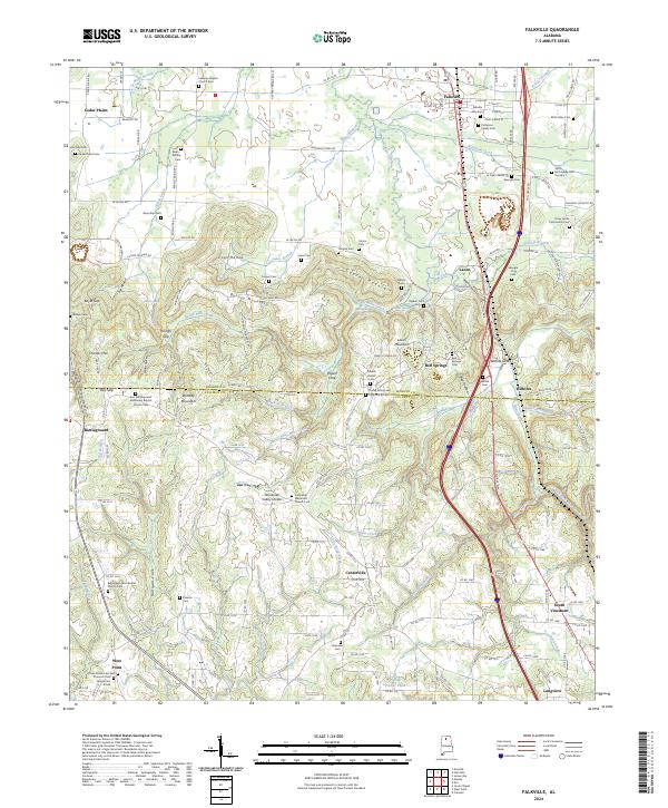 2024 Falkville2024 Print · USGSThe Morgan and Cullman county line area comes into focus here, showing the transition from the Tennessee Valley to the higher plateau. Researchers can trace family history through many rural burial sites like the Speegle-King Cem, Nunn-Wilhite Cem, and Falkville City Cem.
 - 2026 Map of Cullman, 2026 Print
 2026 Cullman2026 Print · USGSCovers South Vinemont, including Cullman, Good Hope, and other nearby areas
 - 2026 Map of West Point, 2026 Print
 2026 West Point2026 Print · USGSCovers South Vinemont, including Cullman, Good Hope, and other nearby areas
 - 2026 Map of Eva, 2026 Print
 2026 Eva2026 Print · USGSCovers South Vinemont, including Cullman, Eva, and other nearby areas
 - 2026 Map of Falkville, 2026 Print
 2026 Falkville2026 Print · USGSCovers South Vinemont, including Falkville, West Point, and other nearby areas
End of results
Showing maps 1-12 of 12
Top cities near South Vinemont
- Cullman historical maps
- Hartselle historical maps
- Hanceville historical maps
- Good Hope historical maps
- Falkville historical maps
- Somerville historical maps
See more
Top neighborhoods of South Vinemont
Frequently asked questions
- What are the different types of historical maps available for South Vinemont?
- What is the oldest map of South Vinemont?
- Where can I purchase historical maps of South Vinemont for my home or office?
- Where can I download high-res historical maps of South Vinemont?
- Are there historical topographic maps available for South Vinemont?
- Is there historical aerial imagery available for South Vinemont?
- Where are historical maps of South Vinemont sourced from?