Old Maps of Dixie, Alabama for Metal Detecting
Plan your next treasure hunt with 9 historic maps of Dixie. Find old homesites, ghost towns, trails, and gathering spots that may be lost to time — perfect for identifying promising metal detecting locations.
- Locate forgotten sites: Uncover places like long-lost settlements, abandoned rail lines, or gathering spots.
- Plan better hunts: Use map overlays combined with LiDAR or satellite views to narrow in on historically rich areas.
- Made for detectorists: Thousands of hobbyists use these maps to discover relics, coins, and hidden history.
Use these historic maps to boost your research and find new opportunities beneath the surface of Dixie.
Dixie, AL maps
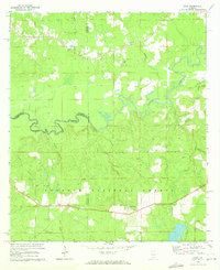
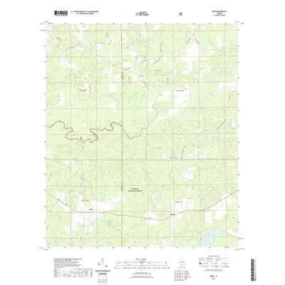
(9)- 1953 Map of Andalusia, 1965 Print
 1953 Andalusia1965 Print · USGSSouth Alabama in the mid-twentieth century remains a land of pine forests and river-fed settlements. You can trace the vital rail corridors of the Louisville & Nashville and locate regional centers such as Andalusia, Brewton, and Monroeville.3 unique versions available
 - 1957 Map of Andalusia
 1957 Andalusia1957 Print · USGSSouthern Alabama in the mid-1950s was a landscape defined by timbered stretches and the rhythmic flow of the Alabama River. Researchers can trace the legacy of the rail era through the Central of Georgia tracks and the storied river bluffs at Choctaw Bluff.
 - 1971 Map of Dixie, 1972 Print
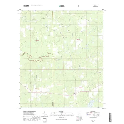
 1971 Dixie1972 Print · USGSIn the early seventies, the borderlands of Escambia and Covington counties remained a world of deep timber and quiet settlements. Genealogists can locate family landmarks like Mason Cem and Welfare Ch, or trace the path of the Old RR Grade through the Conecuh National Forest.3 unique versions available
 - 1986 Map of Andalusia
 1986 Andalusia1986 Print · USGSCovington County and the Wiregrass region are shown here in the mid-1980s, centered on the growing hubs of Andalusia and Opp. Genealogists and local historians can trace legacy sites like the Old Pioneer Cem, Straughn Sch, and the rail lines of the Louisville and Nashville RR.2 unique versions available
 - 2011 Map of Dixie, 2011 Print
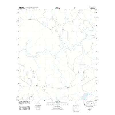 2011 Dixie2011 Print · USGSCovers Dixie, including Rome, Georgiaville, and other nearby areas
 - 2014 Map of Dixie, 2014 Print
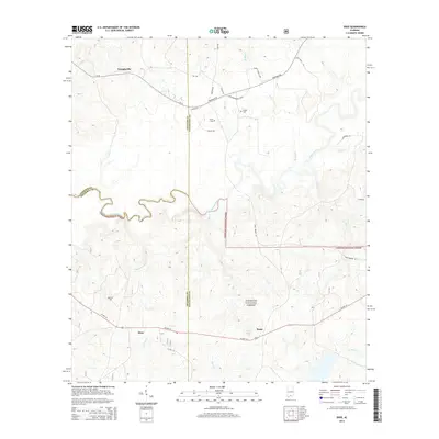 2014 Dixie2014 Print · USGSCovers Dixie, including Rome, Georgiaville, and other nearby areas
 - 2018 Map of Dixie, 2018 Print
 2018 Dixie2018 Print · USGSCovers Dixie, including Rome, Georgiaville, and other nearby areas
 - 2021 Map of Dixie, 2021 Print
 2021 Dixie2021 Print · USGSCovers Dixie, including Rome, Georgiaville, and other nearby areas
 - 2024 Map of Dixie, 2024 Print
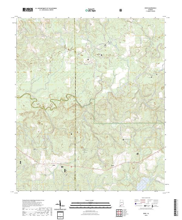 2024 Dixie2024 Print · USGSModern-day southern Alabama is shown here where Covington, Conecuh, and Escambia counties meet within the Conecuh National Forest. Genealogists can trace numerous local family sites including Feagin Cem, Teel Cem, and Smith Cem near the Conecuh River.
End of results
Showing maps 1-9 of 9
Top cities near Dixie
Frequently asked questions
- What are the different types of historical maps available for Dixie?
- What is the oldest map of Dixie?
- Where can I purchase historical maps of Dixie for my home or office?
- Where can I download high-res historical maps of Dixie?
- Are there historical topographic maps available for Dixie?
- Is there historical aerial imagery available for Dixie?
- Where are historical maps of Dixie sourced from?