2000s (21st Century) Maps of Happy Hill, Alabama
Explore 6 historic maps of Happy Hill from the 2000s (21st Century). These maps offer a rare glimpse into what life looked like during the 2000s — showing old roads, neighborhoods, homes, and landmarks that have changed or disappeared over time.
Whether you're researching your family's past, planning a metal detecting trip, or studying how Happy Hill's landscape evolved across the 2000s, these high-resolution maps are a powerful tool for exploring the history of this region.
- Focus on a specific era: All maps on this page are from the 2000s, giving you a focused view of this time period.
- See what’s changed: Compare century-old streets, trails, and buildings to today's modern landscape using overlays and satellite layers.
- Research with precision: Use these maps for genealogy, historical research, land use analysis, or educational projects.
- View, download, or print: Maps are fully viewable online in high resolution, and can be downloaded or printed for your own records.
Start exploring Happy Hill's history through authentic maps from the 2000s. This is your window into the past.
Happy Hill, AL maps
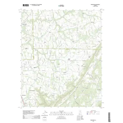
(6)- 2011 Map of Rodentown, 2011 Print
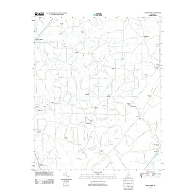 2011 Rodentown2011 Print · USGSCovers Happy Hill, including Boaz, Whitesboro, and other nearby areas
 - 2014 Map of Rodentown, 2014 Print
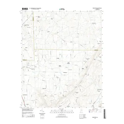 2014 Rodentown2014 Print · USGSCovers Happy Hill, including Boaz, Whitesboro, and other nearby areas
 - 2018 Map of Rodentown, 2018 Print
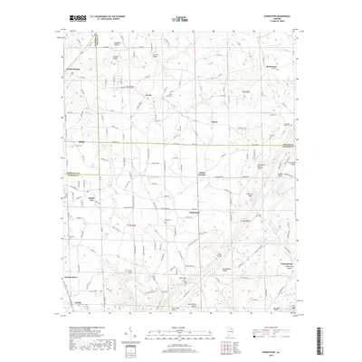 2018 Rodentown2018 Print · USGSCovers Happy Hill, including Boaz, Whitesboro, and other nearby areas
 - 2020 Map of Rodentown, 2020 Print
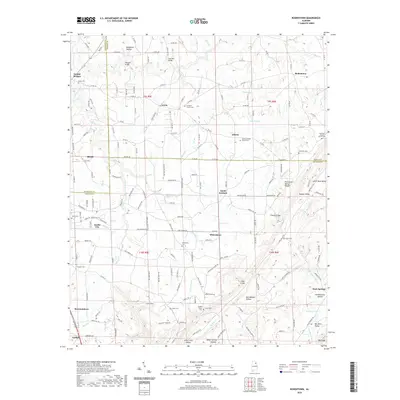 2020 Rodentown2020 Print · USGSCovers Happy Hill, including Boaz, Whitesboro, and other nearby areas
 - 2024 Map of Rodentown, 2024 Print
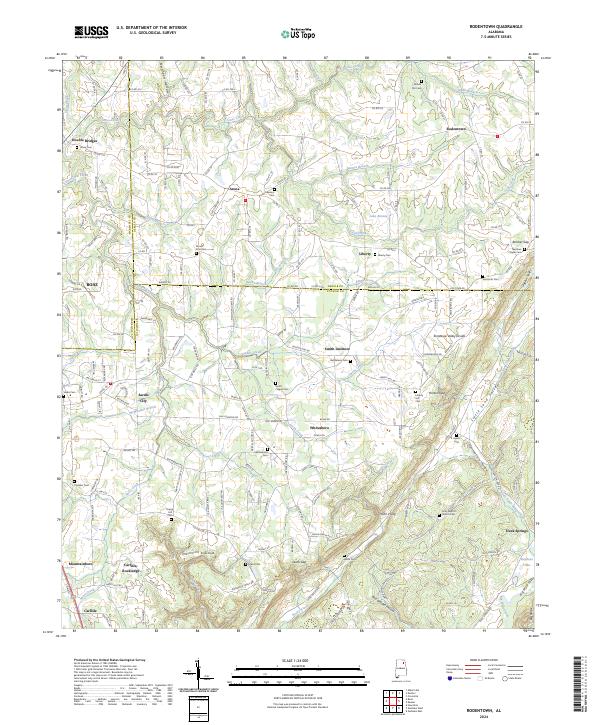 2024 Rodentown2024 Print · USGSThe rugged junction of Marshall, DeKalb, and Etowah counties is documented in this 2024 survey. Local researchers can trace family landmarks at Whitesboro Cem, the settlement at Rodentown, and natural crossings like Double Bridges.
 - 2026 Map of Rodentown, 2026 Print
 2026 Rodentown2026 Print · USGSCovers Happy Hill, including Boaz, Whitesboro, and other nearby areas
End of results
Showing maps 1-6 of 6
Top cities near Happy Hill
- Gadsden historical maps
- Albertville historical maps
- Rainbow City historical maps
- Boaz historical maps
- Southside historical maps
- Guntersville historical maps
See more
Frequently asked questions
- What are the different types of historical maps available for Happy Hill?
- What is the oldest map of Happy Hill?
- Where can I purchase historical maps of Happy Hill for my home or office?
- Where can I download high-res historical maps of Happy Hill?
- Are there historical topographic maps available for Happy Hill?
- Is there historical aerial imagery available for Happy Hill?
- Where are historical maps of Happy Hill sourced from?