Old Maps of Boligee, Alabama for Metal Detecting
Plan your next treasure hunt with 18 historic maps of Boligee. Find old homesites, ghost towns, trails, and gathering spots that may be lost to time — perfect for identifying promising metal detecting locations.
- Locate forgotten sites: Uncover places like long-lost settlements, abandoned rail lines, or gathering spots.
- Plan better hunts: Use map overlays combined with LiDAR or satellite views to narrow in on historically rich areas.
- Made for detectorists: Thousands of hobbyists use these maps to discover relics, coins, and hidden history.
Use these historic maps to boost your research and find new opportunities beneath the surface of Boligee.
Boligee, AL maps
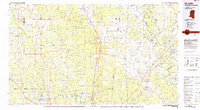
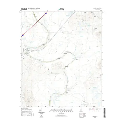
(18)- 1929 Map of Epes
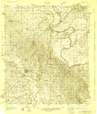 1929 Epes1929 Print · USGSThe Tombigbee and Sucarnoochee rivers meet in this 1920s portrait of West Alabama. Genealogists can trace family roots at Livingston or search for old schoolhouses like the Ezell Sch and rural landmarks like Hixon Switch.
 - 1932 Map of Epes
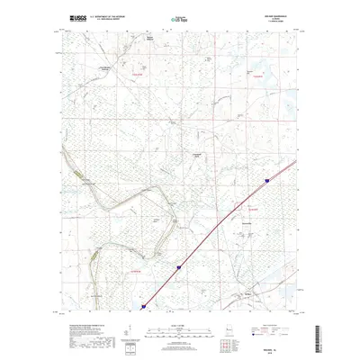
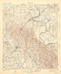 1932 Epes1932 Print · USGSSumter and Greene counties are shown in the early 1930s as the regional economy relied heavily on the Southern Railway and river transport. Genealogists can locate family landmarks like Wesley Chapel, Hillman Ferry, and the Industrial School.4 unique versions available
 - 1953 Map of Meridian, 1966 Print
 1953 Meridian1966 Print · USGSEast Central Mississippi and the Alabama borderlands are captured here during a period of steady growth and infrastructure expansion. Genealogists and historians can trace rail-town development along the Gulf Mobile & Ohio Railroad and find early settlements like Scooba, Pelahatchie, and De Kalb.2 unique versions available
 - 1957 Map of Meridian
 1957 Meridian1957 Print · USGSEast Central Mississippi and parts of Western Alabama come alive in the mid-1950s, centered on the transit hub of Meridian. Researchers can trace old rail lines like the Illinois Central and find historic sites such as the Choctaw Indian Reservation and Roosevelt State Park.
 - 1965 Map of Meridian
 1965 Meridian1965 Print · USGSEast Mississippi and West Alabama are mapped here in the mid-sixties as the region's modern highway and reservoir systems began to take shape. Researchers can trace rural lineages through local landmarks like Prince Chapel and Tuscahoma Landing, or follow the historic Gulf Mobile & Ohio rail lines.
 - 1970 Map of Boligee, 1972 Print
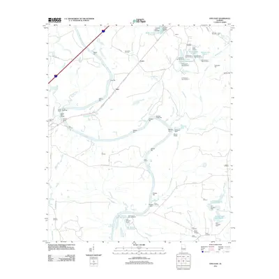
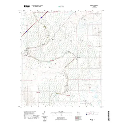
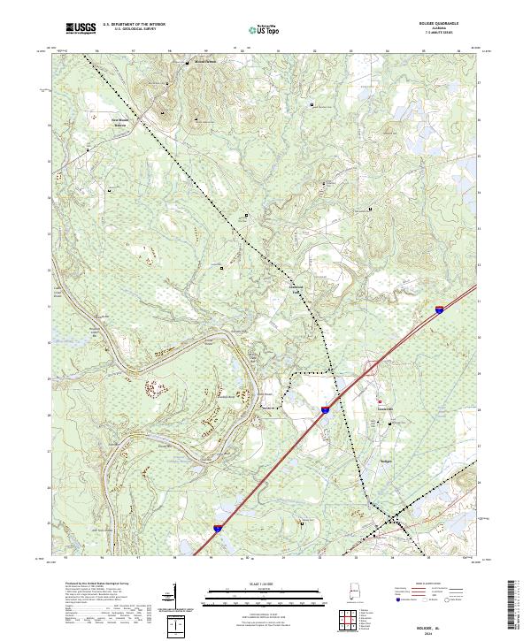
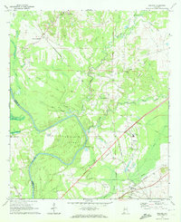 1970 Boligee1972 Print · USGSGreene County near the river during the early seventies shows a landscape of small settlements and rail corridors. Genealogists can trace family landmarks like Lizzieville, the County Training School, and Boatright Cem near the Tombigbee River.3 unique versions available
 - 1974 Map of Epes East, 1978 Print
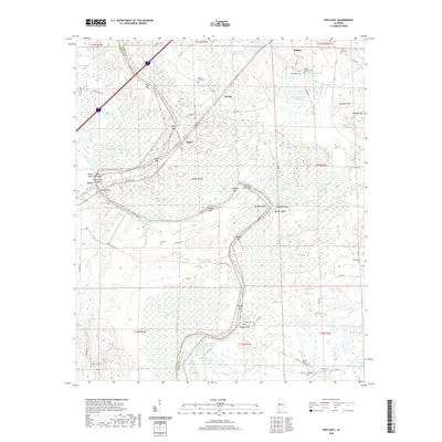
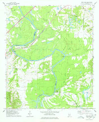 1974 Epes East1978 Print · USGSThe Tombigbee River divides Sumter and Greene counties during the mid-seventies, showing a landscape defined by its deep bends and river crossings. Genealogists can trace family landmarks like Mt Bethel Cem, Lukes Landing, and Christian Valley Ch.2 unique versions available
 - 1984 Map of De Kalb
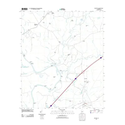
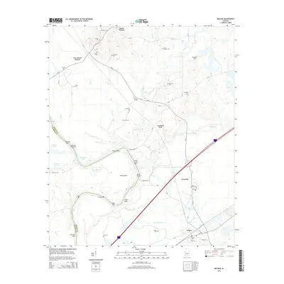
 1984 De Kalb1984 Print · USGSThe Mississippi-Alabama borderlands come into focus in the 1980s, where the river-and-rail economy meets military and tribal lands. Researchers can trace rural lineages across the Choctaw Indian Reservation or through the rail towns of Scooba and De Kalb.2 unique versions available
 - 2011 Map of Epes East, 2011 Print
 2011 Epes East2011 Print · USGSCovers Boligee, including Epes, Fowler, and other nearby areas
 - 2011 Map of Boligee, 2011 Print
 2011 Boligee2011 Print · USGSCovers Boligee, including Mount Hebron, New Mount Hebron, and other nearby areas
 - 2014 Map of Boligee, 2014 Print
 2014 Boligee2014 Print · USGSCovers Boligee, including Mount Hebron, New Mount Hebron, and other nearby areas
 - 2014 Map of Epes East, 2014 Print
 2014 Epes East2014 Print · USGSCovers Boligee, including Epes, Fowler, and other nearby areas
 - 2018 Map of Boligee, 2018 Print
 2018 Boligee2018 Print · USGSCovers Boligee, including Mount Hebron, New Mount Hebron, and other nearby areas
 - 2018 Map of Epes East, 2018 Print
 2018 Epes East2018 Print · USGSCovers Boligee, including Epes, Fowler, and other nearby areas
 - 2020 Map of Epes East, 2020 Print
 2020 Epes East2020 Print · USGSCovers Boligee, including Epes, Fowler, and other nearby areas
 - 2020 Map of Boligee, 2020 Print
 2020 Boligee2020 Print · USGSCovers Boligee, including Mount Hebron, New Mount Hebron, and other nearby areas
 - 2024 Map of Epes East, 2024 Print
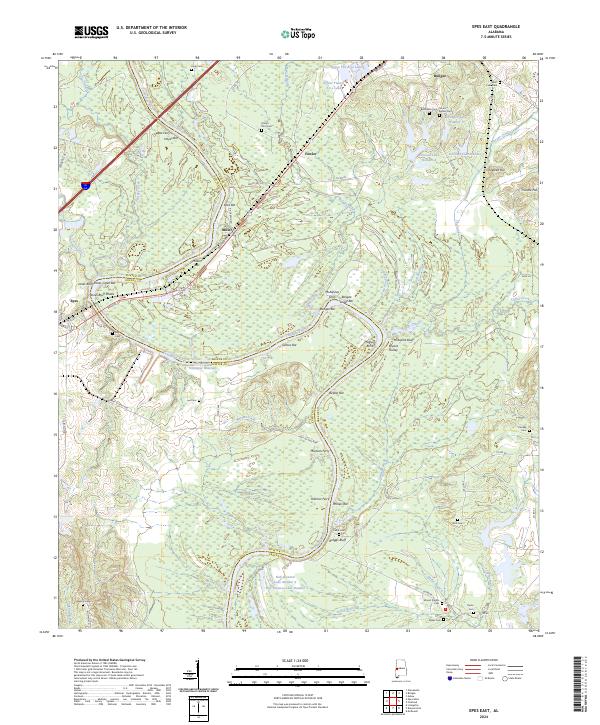 2024 Epes East2024 Print · USGSThe river-and-rail corridor of Greene County comes to life in this contemporary study of the Tombigbee valley. Researchers can trace historical river crossings like Martans Ferry and McAlpines Ferry or locate family plots at Bethsalem Cem and Nott Cem.
 - 2024 Map of Boligee, 2024 Print
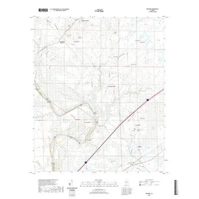
 2024 Boligee2024 Print · USGSGreene County’s river-bottom lands and rural communities are preserved here in the modern era. Genealogists and local historians can trace family roots through numerous sites like Mount Hebron Cem, Macedonia Cem, and the settlement of Lizzieville.
End of results
Showing maps 1-18 of 18
Top cities near Boligee
- Livingston historical maps
- Eutaw historical maps
- Forkland historical maps
- Epes historical maps
- Union historical maps
- Gainesville historical maps
Top neighborhoods of Boligee
Frequently asked questions
- What are the different types of historical maps available for Boligee?
- What is the oldest map of Boligee?
- Where can I purchase historical maps of Boligee for my home or office?
- Where can I download high-res historical maps of Boligee?
- Are there historical topographic maps available for Boligee?
- Is there historical aerial imagery available for Boligee?
- Where are historical maps of Boligee sourced from?