Old Maps of Boligee, Alabama for Academic Research
Study the evolution of Boligee with 18 high-resolution historic maps. Whether you're teaching, researching, or modeling changes in land use, these maps provide essential visual documentation of urban, environmental, and geographic change.
- Analyze long-term change: Track patterns in development, transportation, and natural features.
- Ideal for environmental or urban studies: Support academic projects with primary historical map data.
- Use in the classroom or lab: Educators and researchers rely on these maps to bring historical context to life.
These maps are a powerful tool for teaching, research, and visualizing how Boligee has changed over the decades.
Boligee, AL maps
(18)- 1929 Map of Epes
 1929 Epes1929 Print · USGSThe Tombigbee and Sucarnoochee rivers meet in this 1920s portrait of West Alabama. Genealogists can trace family roots at Livingston or search for old schoolhouses like the Ezell Sch and rural landmarks like Hixon Switch.
 - 1932 Map of Epes
 1932 Epes1932 Print · USGSSumter and Greene counties are shown in the early 1930s as the regional economy relied heavily on the Southern Railway and river transport. Genealogists can locate family landmarks like Wesley Chapel, Hillman Ferry, and the Industrial School.4 unique versions available
 - 1953 Map of Meridian, 1966 Print
 1953 Meridian1966 Print · USGSEast Central Mississippi and the Alabama borderlands are captured here during a period of steady growth and infrastructure expansion. Genealogists and historians can trace rail-town development along the Gulf Mobile & Ohio Railroad and find early settlements like Scooba, Pelahatchie, and De Kalb.2 unique versions available
 - 1957 Map of Meridian
 1957 Meridian1957 Print · USGSEast Central Mississippi and parts of Western Alabama come alive in the mid-1950s, centered on the transit hub of Meridian. Researchers can trace old rail lines like the Illinois Central and find historic sites such as the Choctaw Indian Reservation and Roosevelt State Park.
 - 1965 Map of Meridian
 1965 Meridian1965 Print · USGSEast Mississippi and West Alabama are mapped here in the mid-sixties as the region's modern highway and reservoir systems began to take shape. Researchers can trace rural lineages through local landmarks like Prince Chapel and Tuscahoma Landing, or follow the historic Gulf Mobile & Ohio rail lines.
 - 1970 Map of Boligee, 1972 Print
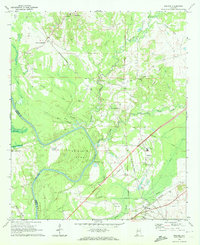 1970 Boligee1972 Print · USGSGreene County near the river during the early seventies shows a landscape of small settlements and rail corridors. Genealogists can trace family landmarks like Lizzieville, the County Training School, and Boatright Cem near the Tombigbee River.3 unique versions available
 - 1974 Map of Epes East, 1978 Print
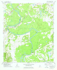 1974 Epes East1978 Print · USGSThe Tombigbee River divides Sumter and Greene counties during the mid-seventies, showing a landscape defined by its deep bends and river crossings. Genealogists can trace family landmarks like Mt Bethel Cem, Lukes Landing, and Christian Valley Ch.2 unique versions available
 - 1984 Map of De Kalb
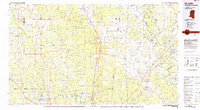 1984 De Kalb1984 Print · USGSThe Mississippi-Alabama borderlands come into focus in the 1980s, where the river-and-rail economy meets military and tribal lands. Researchers can trace rural lineages across the Choctaw Indian Reservation or through the rail towns of Scooba and De Kalb.2 unique versions available
 - 2011 Map of Epes East, 2011 Print
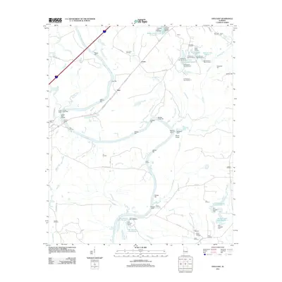 2011 Epes East2011 Print · USGSThe Tombigbee River corridor comes alive in this 2011 survey of Greene County, documenting a landscape defined by river navigation and rural family heritage. Researchers can trace ancestral sites at Bethsalem Cemetery or locate old river landmarks like Lukes Landing and Jones Bluff Shoals.
 - 2011 Map of Boligee, 2011 Print
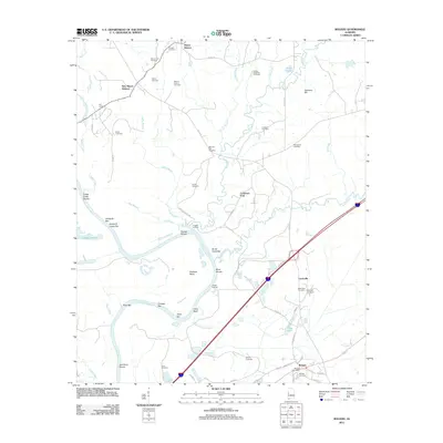 2011 Boligee2011 Print · USGSGreene County’s riverfront and rural uplands are meticulously detailed in this early twenty-first-century survey of the Alabama black belt. Researchers can locate numerous family burial sites like Boatright Cemetery and trace river landmarks such as Clays Bluff and Trussel Shoals.
 - 2014 Map of Boligee, 2014 Print
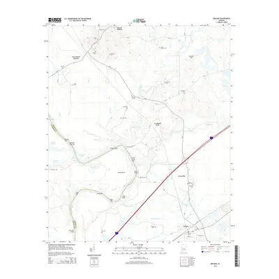 2014 Boligee2014 Print · USGSGreene County’s riverfront landscape is documented here in the early 21st century, showing the winding Tombigbee River and the rural communities of Boligee and Mount Hebron. Researchers can locate numerous family burial sites like Morgan Cem and Saint Paul Cem.
 - 2014 Map of Epes East, 2014 Print
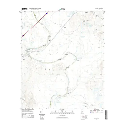 2014 Epes East2014 Print · USGSGreene and Sumter counties meet along the winding Tombigbee River in this 2014 survey. Genealogists and local researchers can locate numerous community landmarks like Mt Zion Cem, Bethsalem Cem, and the river crossing at Gorgas Bridge.
 - 2018 Map of Boligee, 2018 Print
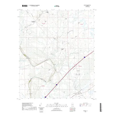 2018 Boligee2018 Print · USGSThe Tombigbee riverfront in Greene County comes into focus during this 2010s survey, showing the intricate waterway and its historic bends. Genealogists can trace family names through numerous sites like Saint Paul Cem, Lizzieville, and Mount Hebron Cem.
 - 2018 Map of Epes East, 2018 Print
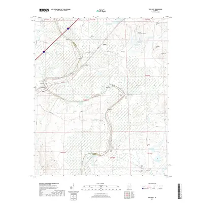 2018 Epes East2018 Print · USGSGreene and Sumter counties meet along the winding riverbars and bluffs of the Tennessee-Tombigbee Waterway in this recent topographic study. Researchers can trace land ownership and community roots through rural cemeteries like Mount Zion Cem and landmarks such as McAlpine Bluff.
 - 2020 Map of Epes East, 2020 Print
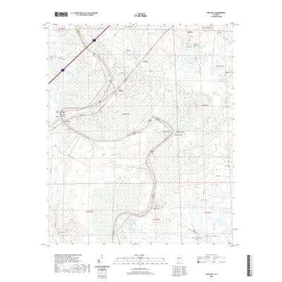 2020 Epes East2020 Print · USGSSumter and Greene counties meet along the winding riverbanks in this 2020 survey. Genealogists and local historians can trace numerous rural burial sites like Bethsalem Cem and Saint Luke Cem near the towns of Boligee and Epes.
 - 2020 Map of Boligee, 2020 Print
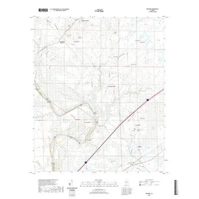 2020 Boligee2020 Print · USGSThe Black Belt of Greene County comes to life in this survey of the riverbanks and rural settlements. Genealogists can trace family names through numerous local sites like Mount Hebron Cem and Saint Paul Cem near the Boligee Canal.
 - 2024 Map of Epes East, 2024 Print
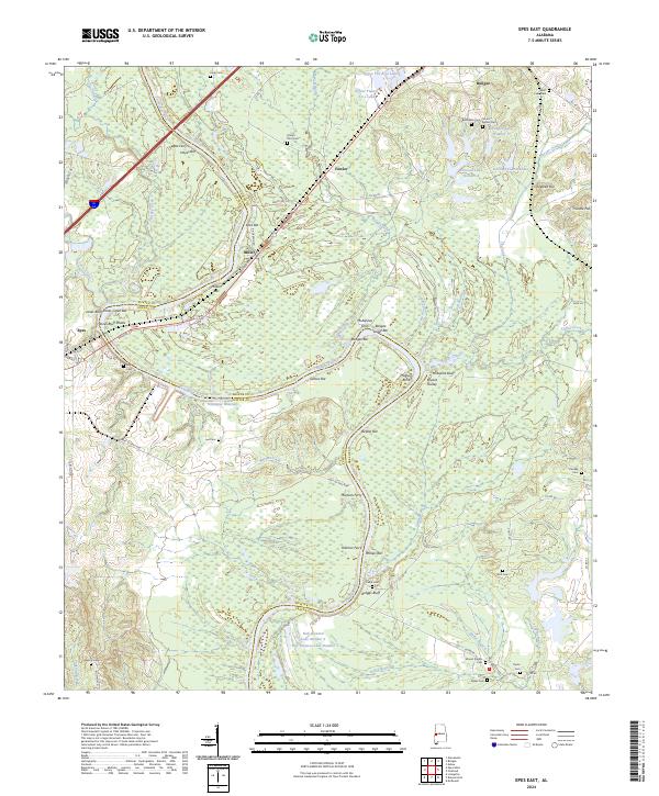 2024 Epes East2024 Print · USGSThe river-and-rail corridor of Greene County comes to life in this contemporary study of the Tombigbee valley. Researchers can trace historical river crossings like Martans Ferry and McAlpines Ferry or locate family plots at Bethsalem Cem and Nott Cem.
 - 2024 Map of Boligee, 2024 Print
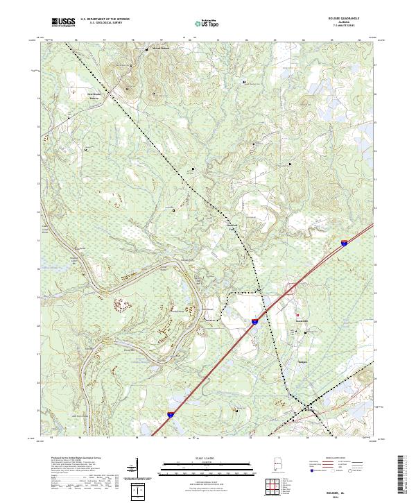 2024 Boligee2024 Print · USGSGreene County’s river-bottom lands and rural communities are preserved here in the modern era. Genealogists and local historians can trace family roots through numerous sites like Mount Hebron Cem, Macedonia Cem, and the settlement of Lizzieville.
End of results
Showing maps 1-18 of 18
Top cities near Boligee
- Livingston historical maps
- Eutaw historical maps
- Forkland historical maps
- Epes historical maps
- Union historical maps
- Gainesville historical maps
Top neighborhoods of Boligee
Frequently asked questions
- What are the different types of historical maps available for Boligee?
- What is the oldest map of Boligee?
- Where can I purchase historical maps of Boligee for my home or office?
- Where can I download high-res historical maps of Boligee?
- Are there historical topographic maps available for Boligee?
- Is there historical aerial imagery available for Boligee?
- Where are historical maps of Boligee sourced from?