Old Maps of West Greene, Alabama for Genealogy
Trace your family roots with 10 historic maps of West Greene. These high-res maps reveal old neighborhoods, homesites, landmarks, and streets — helping you uncover where your ancestors lived and how the area evolved over time.
- Explore historic neighborhoods: Identify where your relatives may have lived in the 1800s or 1900s.
- Compare maps over time: Trace the changes in streets, buildings, and landmarks for multi-generational research.
- Perfect for genealogy & ancestry research: Used by family historians and researchers to map out lineage and migration.
These maps are an incredible resource for exploring your personal connection to West Greene's past.
West Greene, AL maps
(10)- 1953 Map of Meridian, 1966 Print
 1953 Meridian1966 Print · USGSEast Central Mississippi and the Alabama borderlands are captured here during a period of steady growth and infrastructure expansion. Genealogists and historians can trace rail-town development along the Gulf Mobile & Ohio Railroad and find early settlements like Scooba, Pelahatchie, and De Kalb.2 unique versions available
 - 1957 Map of Meridian
 1957 Meridian1957 Print · USGSEast Central Mississippi and parts of Western Alabama come alive in the mid-1950s, centered on the transit hub of Meridian. Researchers can trace old rail lines like the Illinois Central and find historic sites such as the Choctaw Indian Reservation and Roosevelt State Park.
 - 1965 Map of Meridian
 1965 Meridian1965 Print · USGSEast Mississippi and West Alabama are mapped here in the mid-sixties as the region's modern highway and reservoir systems began to take shape. Researchers can trace rural lineages through local landmarks like Prince Chapel and Tuscahoma Landing, or follow the historic Gulf Mobile & Ohio rail lines.
 - 1970 Map of West Greene, 1972 Print
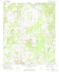 1970 West Greene1972 Print · USGSGreene County, Alabama, is shown here in the early 1970s as a landscape of small rural settlements and historic rail corridors. Genealogists can trace family names and community centers via the Brickyard Cem, St Johns Ch, and the Old Railroad Grade.
 - 1984 Map of De Kalb
 1984 De Kalb1984 Print · USGSThe Mississippi-Alabama borderlands come into focus in the 1980s, where the river-and-rail economy meets military and tribal lands. Researchers can trace rural lineages across the Choctaw Indian Reservation or through the rail towns of Scooba and De Kalb.2 unique versions available
 - 2011 Map of West Greene, 2011 Print
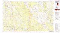
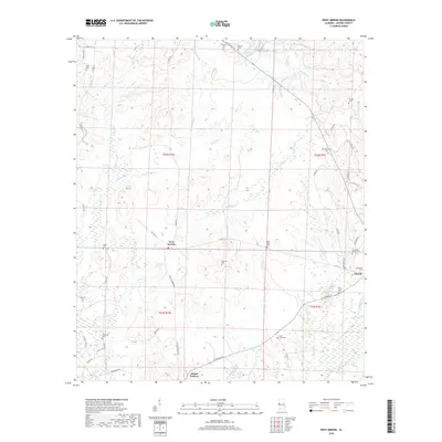
 2011 West Greene2011 Print · USGSCovers West Greene, including Greene County, United States, and other nearby areas
 - 2014 Map of West Greene, 2014 Print
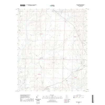
 2014 West Greene2014 Print · USGSCovers West Greene, including Greene County, United States, and other nearby areas
 - 2018 Map of West Greene, 2018 Print
 2018 West Greene2018 Print · USGSCovers West Greene, including Greene County, United States, and other nearby areas
 - 2020 Map of West Greene, 2020 Print
 2020 West Greene2020 Print · USGSCovers West Greene, including Greene County, United States, and other nearby areas
 - 2024 Map of West Greene, 2024 Print
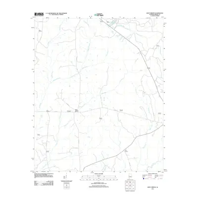
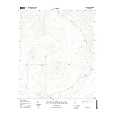
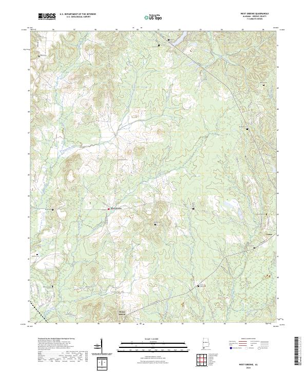 2024 West Greene2024 Print · USGSGreene County, Alabama, is documented here in the early 2020s, showing a resilient rural landscape of small settlements and family cemeteries. Researchers can locate ancestral sites at Brickyard Cem and Saint Johns Cem or trace the drainage of Bangdoodle Branch.
End of results
Showing maps 1-10 of 10
Top cities near West Greene
- Eutaw historical maps
- Aliceville historical maps
- Boligee historical maps
- Epes historical maps
- Union historical maps
- Gainesville historical maps
See more
Frequently asked questions
- What are the different types of historical maps available for West Greene?
- What is the oldest map of West Greene?
- Where can I purchase historical maps of West Greene for my home or office?
- Where can I download high-res historical maps of West Greene?
- Are there historical topographic maps available for West Greene?
- Is there historical aerial imagery available for West Greene?
- Where are historical maps of West Greene sourced from?